File:Toronto-provisional-venue.jpg
Jump to navigation
Jump to search

Size of this preview: 800 × 593 pixels. Other resolutions: 320 × 237 pixels | 640 × 475 pixels | 1,024 × 759 pixels | 1,280 × 949 pixels | 2,560 × 1,898 pixels | 4,208 × 3,120 pixels.
Original file (4,208 × 3,120 pixels, file size: 2.19 MB, MIME type: image/jpeg)
Summary
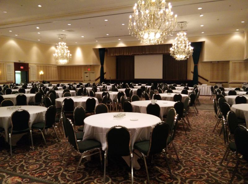
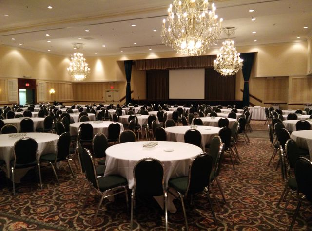
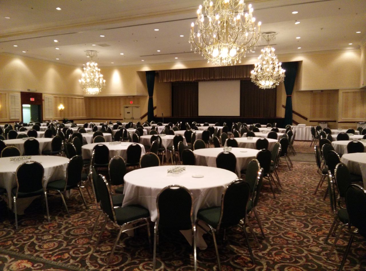
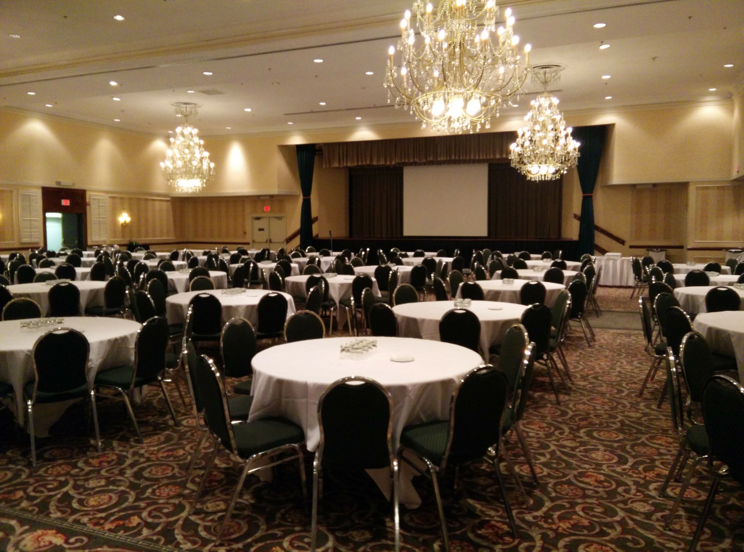
Photo of provisional conference venue main ballroom for State of the Map 2015 Toronto bid. Main room has capacity that is ideal for projected attendance and can adapt for potential growth.
Licensing
![]()
![]()
![]()
This work is licensed under the Creative Commons Attribution-ShareAlike 2.0 License.
Attribution not specified as a parameter! THIS LICENSE ALWAYS REQUIRES ATTRIBUTION! Use {{CC-BY-SA-2.0|Attribution, typically name of author}} See Template:CC-BY-SA-2.0 for full description how this template should be used.
Note, there is
There is also
Attribution not specified as a parameter! THIS LICENSE ALWAYS REQUIRES ATTRIBUTION! Use {{CC-BY-SA-2.0|Attribution, typically name of author}} See Template:CC-BY-SA-2.0 for full description how this template should be used.
Note, there is
{{CC-BY-SA-2.0 OpenStreetMap}} for files based on old OSM map data, before the license change made on 2012-09-12.There is also
{{OSM Carto screenshot||old_license}} for files based on old OSM map data, before the license change made on 2012-09-12, created using OSM Carto map style.
File history
Click on a date/time to view the file as it appeared at that time.
| Date/Time | Thumbnail | Dimensions | User | Comment | |
|---|---|---|---|---|---|
| current | 19:09, 1 November 2014 | | 4,208 × 3,120 (2.19 MB) | Rw (talk | contribs) | Photo of provisional conference venue main ballroom for State of the Map 2015 Toronto bid. Main room has capacity that is ideal for projected attendance and can adapt for potential growth. |
You cannot overwrite this file.
File usage
The following page uses this file: