File:Troisdorf mappingparty gpx.png
Jump to navigation
Jump to search


Size of this preview: 683 × 600 pixels. Other resolutions: 273 × 240 pixels | 547 × 480 pixels | 875 × 768 pixels | 1,166 × 1,024 pixels | 1,582 × 1,389 pixels.
Original file (1,582 × 1,389 pixels, file size: 232 KB, MIME type: image/png)
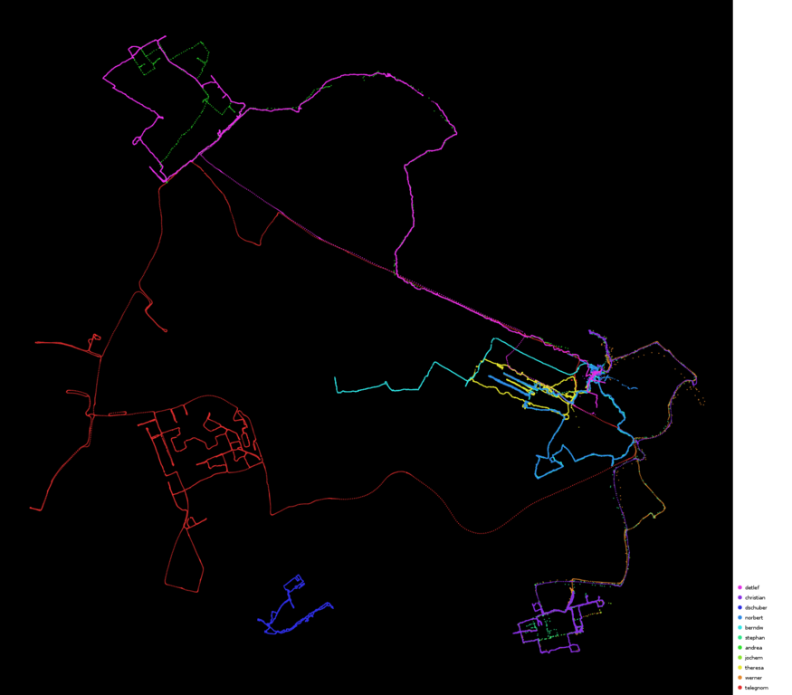
Visualisierung der GPS-Tracks von der Troisdorfer Mapping-Party am 23.01.2010
File history
Click on a date/time to view the file as it appeared at that time.
| Date/Time | Thumbnail | Dimensions | User | Comment | |
|---|---|---|---|---|---|
| current | 20:26, 27 January 2010 | | 1,582 × 1,389 (232 KB) | Telegnom (talk | contribs) | |
| 13:35, 25 January 2010 | 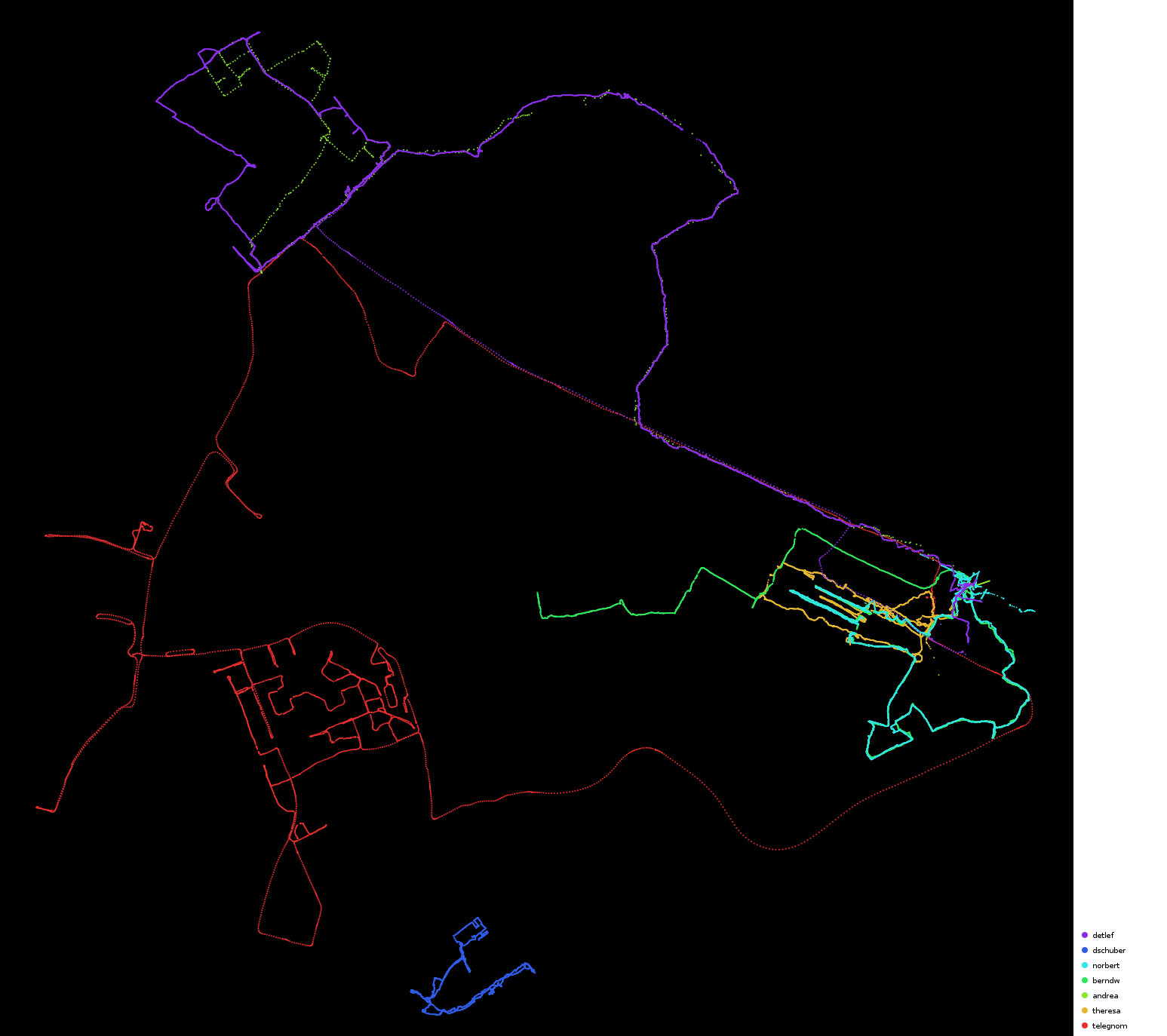 | 1,547 × 1,374 (204 KB) | Telegnom (talk | contribs) | Visualisierung der GPS-Tracks von der Troisdorfer Mapping-Party am 23.01.2010 |
You cannot overwrite this file.
File usage
The following page uses this file: