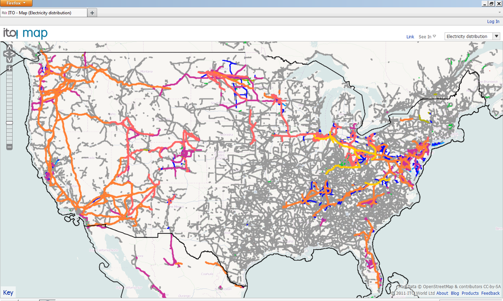
File:USVoltage-2011-11-26-ITO.png
Jump to navigation
Jump to search


Size of this preview: 800 × 480 pixels. Other resolutions: 320 × 192 pixels | 1,024 × 614 pixels | 1,440 × 864 pixels.
Original file (1,440 × 864 pixels, file size: 618 KB, MIME type: image/png)
Summary
Licensing
![]()
![]()
![]()
This work is licensed under the Creative Commons Attribution-ShareAlike 2.0 License.
Attribution not specified as a parameter! THIS LICENSE ALWAYS REQUIRES ATTRIBUTION! Use {{CC-BY-SA-2.0|Attribution, typically name of author}} See Template:CC-BY-SA-2.0 for full description how this template should be used.
Note, there is
There is also
Attribution not specified as a parameter! THIS LICENSE ALWAYS REQUIRES ATTRIBUTION! Use {{CC-BY-SA-2.0|Attribution, typically name of author}} See Template:CC-BY-SA-2.0 for full description how this template should be used.
Note, there is
{{CC-BY-SA-2.0 OpenStreetMap}} for files based on old OSM map data, before the license change made on 2012-09-12.There is also
{{OSM Carto screenshot||old_license}} for files based on old OSM map data, before the license change made on 2012-09-12, created using OSM Carto map style.
File history
Click on a date/time to view the file as it appeared at that time.
| Date/Time | Thumbnail | Dimensions | User | Comment | |
|---|---|---|---|---|---|
| current | 10:58, 27 November 2011 | | 1,440 × 864 (618 KB) | FK270673 (talk | contribs) | http://www.itoworld.com/product/data/ito_map/main?view=4&lat=39.21897960807571&lon=-96.86002037316652&zoom=5 |
You cannot overwrite this file.
File usage
The following page uses this file: