File:Uk stalbans status.png
Jump to navigation
Jump to search


Size of this preview: 598 × 600 pixels. Other resolutions: 239 × 240 pixels | 479 × 480 pixels | 766 × 768 pixels | 1,021 × 1,024 pixels | 2,500 × 2,507 pixels.
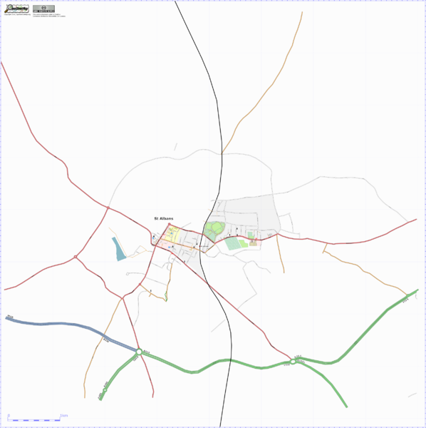
Original file (2,500 × 2,507 pixels, file size: 606 KB, MIME type: image/png)
Osmarender of St Albans, UK.
![]()
Contains map data © OpenStreetMap contributors, made available under the terms of the Creative Commons Attribution-ShareAlike 2.0 (CC-BY-SA-2.0).
File history
Click on a date/time to view the file as it appeared at that time.
| Date/Time | Thumbnail | Dimensions | User | Comment | |
|---|---|---|---|---|---|
| current | 21:30, 31 October 2006 | | 2,500 × 2,507 (606 KB) | TomChance (talk | contribs) | Osmarender of St Albans, UK as of 20061031. N.B. the cemetery pattern was a manual tweak in Inkscape. |
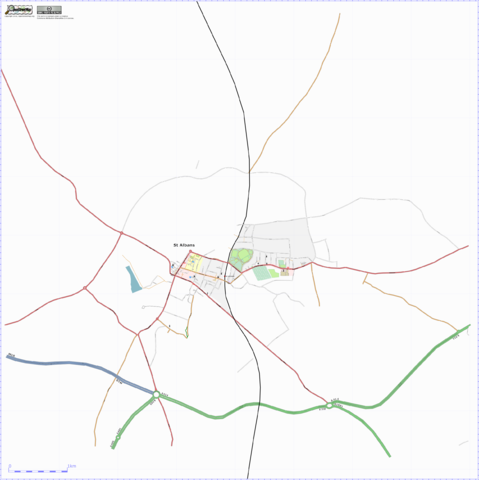
| 17:04, 10 October 2006 |  | 2,000 × 2,214 (475 KB) | TomChance (talk | contribs) | Osmarender of St Albans, UK, manually tweaked to clean up misalignments and the like. A high resolution version can be found [http://tom.acrewoods.net/files/uk_stalbans_status_highres.png|here]. | |
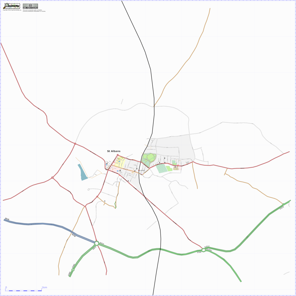
| 17:37, 1 October 2006 | 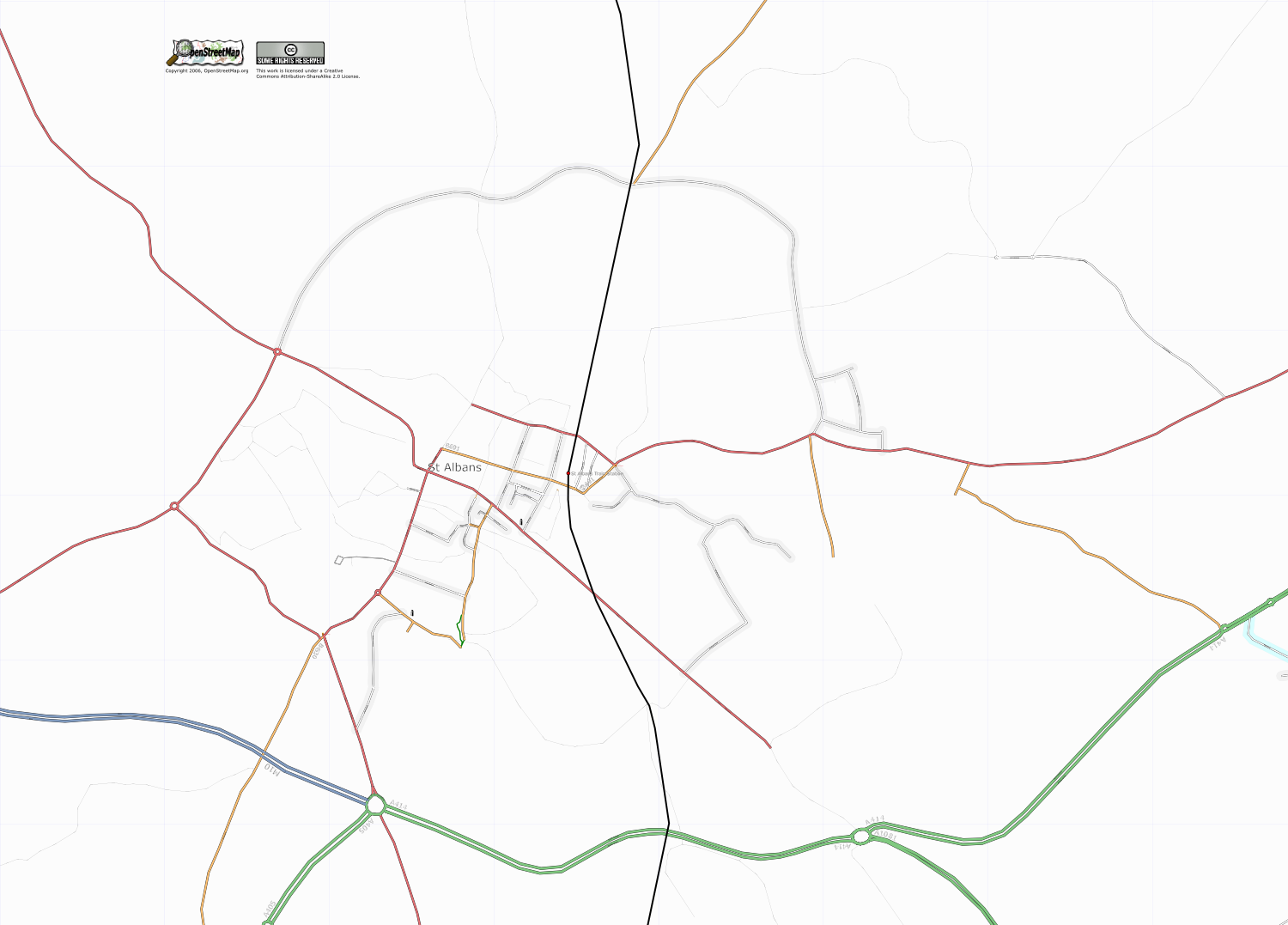 | 1,500 × 1,077 (283 KB) | TomChance (talk | contribs) | Osmarender of St Albans, UK. |
You cannot overwrite this file.
File usage
There are no pages that use this file.