File:Val.png
Jump to navigation
Jump to search

No higher resolution available.
Val.png (584 × 432 pixels, file size: 99 KB, MIME type: image/png)
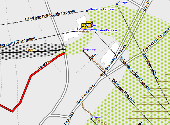
Val d'Isere rendered for a Garmin GPS by mkgmap
File history
Click on a date/time to view the file as it appeared at that time.
| Date/Time | Thumbnail | Dimensions | User | Comment | |
|---|---|---|---|---|---|
| current | 12:48, 31 January 2012 | | 584 × 432 (99 KB) | Skicat (talk | contribs) | Val d'Isere rendered for a Garmin GPS by mkgmap |
You cannot overwrite this file.
File usage
The following page uses this file: