File:Vialidades-en-la-ciudad-de-Tlaxcala-y-zona-conurbada.png
Jump to navigation
Jump to search


Size of this preview: 800 × 524 pixels. Other resolutions: 320 × 210 pixels | 640 × 420 pixels | 996 × 653 pixels.
Original file (996 × 653 pixels, file size: 607 KB, MIME type: image/png)
Summary
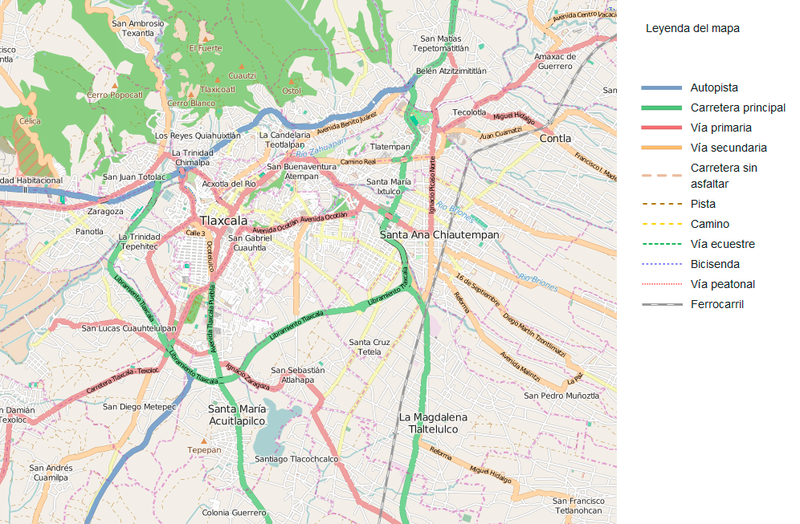
Red primaria de movilidad en la ciudad de Tlaxcala y zona conurbada
Licensing
| Contains map data © OpenStreetMap contributors, made available under the terms of the Open Database License (ODbL).
The ODbL does not require any particular license for maps produced from ODbL data, produced maps may be subject also to other licences. |
File history
Click on a date/time to view the file as it appeared at that time.
| Date/Time | Thumbnail | Dimensions | User | Comment | |
|---|---|---|---|---|---|
| current | 04:23, 4 May 2015 | | 996 × 653 (607 KB) | Juan de la Malinche (talk | contribs) | Red primaria de movilidad en la ciudad de Tlaxcala y zona conurbada |
You cannot overwrite this file.
File usage
The following file is a duplicate of this file (more details):
- File:Red primaria de movilidad.png from Wikimedia Commons
There are no pages that use this file.