File:Waddington.png
Jump to navigation
Jump to search

Size of this preview: 800 × 513 pixels. Other resolutions: 320 × 205 pixels | 640 × 411 pixels | 999 × 641 pixels.
Original file (999 × 641 pixels, file size: 108 KB, MIME type: image/png)
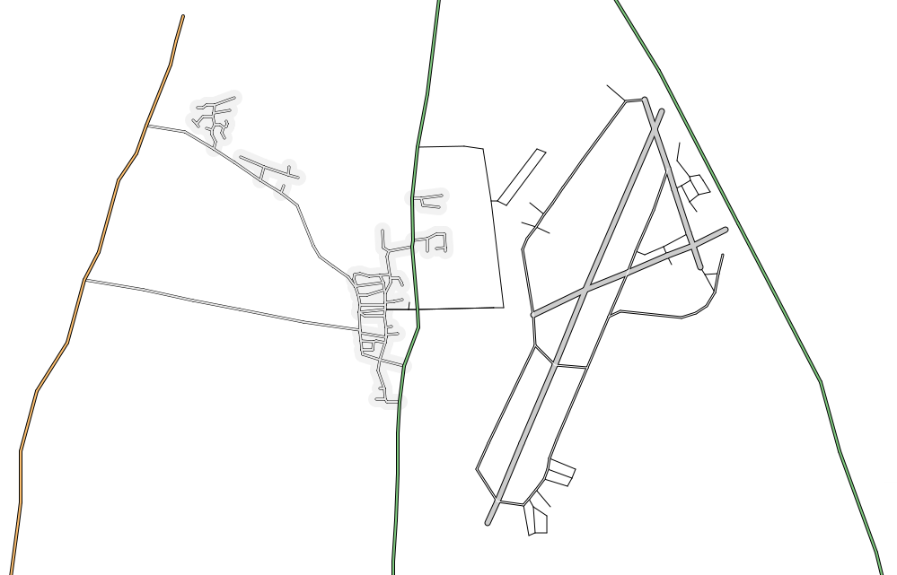
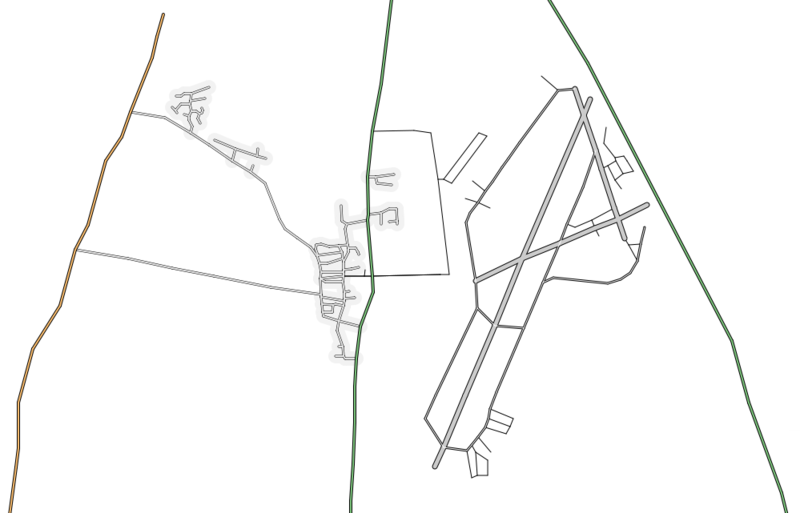
Map of Waddington
This map and others like it, were created by OpenStreetmap contributors, and are licensed as Creative Commons CC-BY-SA 2.0 (https://creativecommons.org/licenses/by-sa/2.0/) (see OpenStreetMap licence).
Use {{mapof|PlaceName}} to add this template to your images.
This map and others like it, were created by OpenStreetmap contributors, and are licensed as Creative Commons CC-BY-SA 2.0 (https://creativecommons.org/licenses/by-sa/2.0/) (see OpenStreetMap licence).
Use {{mapof|PlaceName}} to add this template to your images.
File history
Click on a date/time to view the file as it appeared at that time.
| Date/Time | Thumbnail | Dimensions | User | Comment | |
|---|---|---|---|---|---|
| current | 22:09, 14 July 2006 | | 999 × 641 (108 KB) | Ojw (talk | contribs) | Better map with airfield runways from satellite photos |
| 21:02, 14 July 2006 | 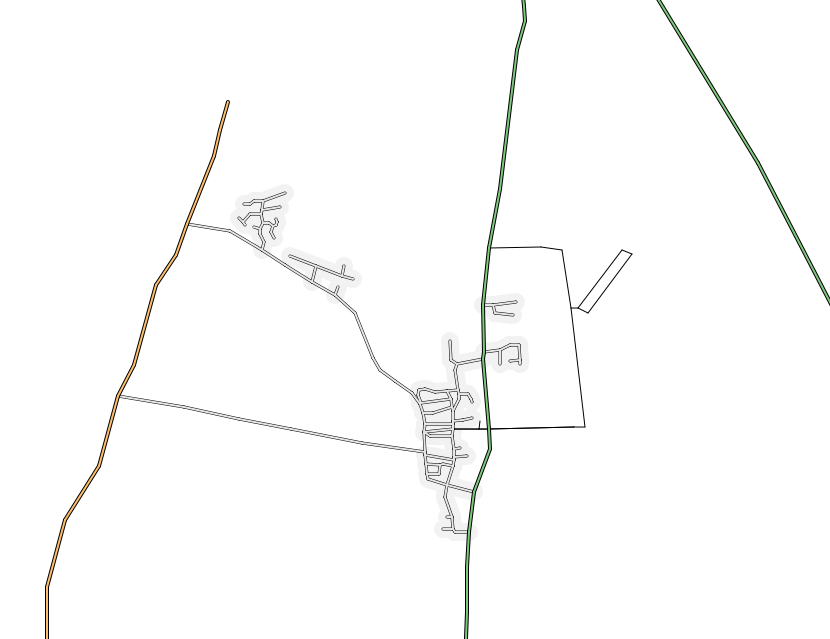 | 830 × 639 (60 KB) | Ojw (talk | contribs) |
You cannot overwrite this file.
File usage
The following page uses this file: