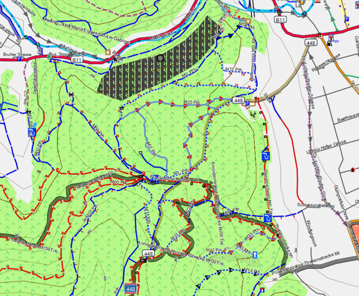
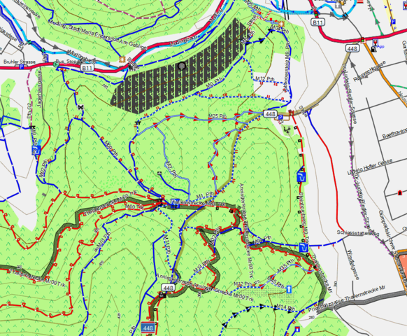
File:Well mapped area.png
Jump to navigation
Jump to search

Size of this preview: 726 × 599 pixels. Other resolutions: 291 × 240 pixels | 582 × 480 pixels | 905 × 747 pixels.
Original file (905 × 747 pixels, file size: 161 KB, MIME type: image/png)
mtb_anninger_well_mapped
File history
Click on a date/time to view the file as it appeared at that time.
| Date/Time | Thumbnail | Dimensions | User | Comment | |
|---|---|---|---|---|---|
| current | 16:59, 9 April 2010 | | 905 × 747 (161 KB) | Extremecarver (talk | contribs) | mtb_anninger_well_mapped |
You cannot overwrite this file.
File usage
The following 9 pages use this file: