This file and its description are from Wikimedia Commons.
DescriptionWienflussverbauungoberbaumgarten.jpg
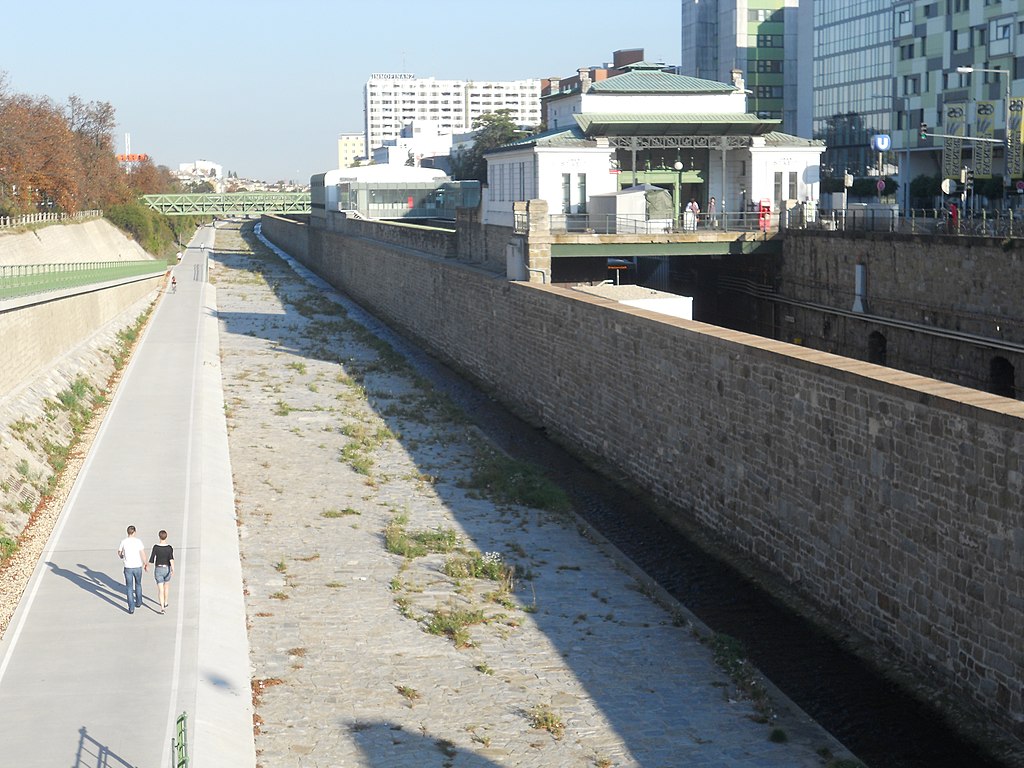
Deutsch: Wienflussregulierung und -verbauung von Wien I. bis Wien XIV. (samt Brücken, Geländern und sonstigen baulichen Bestandteilen), aufgenommen auf der St. Veiter Brücke (KG Oberbaumgarten). Im Hintergrund die U-Bahn-Station Ober St. Veit.
This media shows the protected monument with the number 129792 in Austria. (Commons, de, Wikidata)
This media shows the protected monument with the number 128352 in Austria. (Commons, de, Wikidata)
to share – to copy, distribute and transmit the work
to remix – to adapt the work
Under the following conditions:
attribution – You must give appropriate credit, provide a link to the license, and indicate if changes were made. You may do so in any reasonable manner, but not in any way that suggests the licensor endorses you or your use.
share alike – If you remix, transform, or build upon the material, you must distribute your contributions under the same or compatible license as the original.
{{Information |Description={{de|1=Wienflussregulierung und -verbauung von Wien I. bis Wien XIV. (samt Brücken, Geländern und sonstigen baulichen Bestandteilen), aufgenommen auf der St. Veiter Brücke (KG Oberbaumgarten). Im Hintergrund die U-Bahn-Statio


