File:Windsor-started.png
Jump to navigation
Jump to search

No higher resolution available.
Windsor-started.png (346 × 147 pixels, file size: 83 KB, MIME type: image/png)
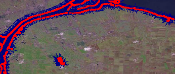
Windsor Ontario Canada, with coastlines applied.
File history
Click on a date/time to view the file as it appeared at that time.
| Date/Time | Thumbnail | Dimensions | User | Comment | |
|---|---|---|---|---|---|
| current | 03:00, 22 October 2006 | | 346 × 147 (83 KB) | Rw (talk | contribs) | Windsor Ontario Canada, with coastlines applied. |
You cannot overwrite this file.
File usage
The following page uses this file: