File:Written undertaking conservation juanopolox2160.jpg

Original file (2,160 × 1,620 pixels, file size: 1.34 MB, MIME type: image/jpeg)
Summary
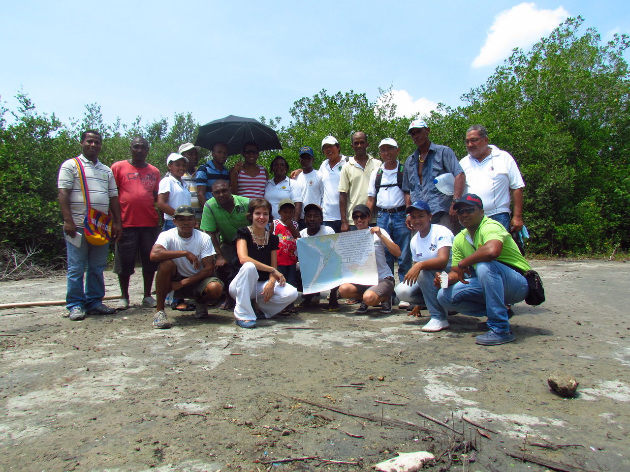
OpenStreetMap como acta de compromiso entre la comunidad local y asociaciones ecoturísticas para la conservación de la Ciénaga de La Virgen y Juan Polo, liderada por Fundación EcoProgreso en el corregimiento de La Boquilla, Cartagena, Colombia. http://bit.ly/laboquilla
OpenStreetMap as a record of commitment to the local community and ecotourism associations for the conservation of Cienaga de la Virgen and Juan Polo, led by Foundation EcoProgreso in the village of La Boquilla, Cartagena, Colombia. http://bit.ly/laboquilla
Licensing
![]()
![]()
![]()
Attribution not specified as a parameter! THIS LICENSE ALWAYS REQUIRES ATTRIBUTION! Use {{CC-BY-SA-2.0|Attribution, typically name of author}} See Template:CC-BY-SA-2.0 for full description how this template should be used.
Note, there is
{{CC-BY-SA-2.0 OpenStreetMap}} for files based on old OSM map data, before the license change made on 2012-09-12.There is also
{{OSM Carto screenshot||old_license}} for files based on old OSM map data, before the license change made on 2012-09-12, created using OSM Carto map style.
File history
Click on a date/time to view the file as it appeared at that time.
| Date/Time | Thumbnail | Dimensions | User | Comment | |
|---|---|---|---|---|---|
| current | 18:05, 1 September 2012 | | 2,160 × 1,620 (1.34 MB) | Hyances (talk | contribs) | OpenStreetMap como acta de compromiso entre la comunidad local y asociaciones ecoturísticas para la protección de la Ciénaga de Juan Polo, liderada por Fundación EcoProgreso en el corregimiento de La Boquilla, Cartagena, Colombia. http://bit.ly/laboq |
You cannot overwrite this file.
File usage
There are no pages that use this file.