File:YAI-Stuttgart.png
Jump to navigation
Jump to search

Size of this preview: 479 × 600 pixels. Other resolutions: 192 × 240 pixels | 524 × 656 pixels.
Original file (524 × 656 pixels, file size: 422 KB, MIME type: image/png)
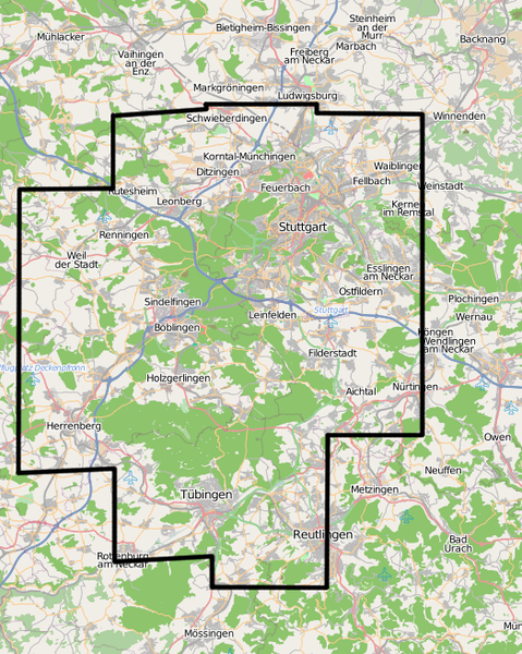
Image describing area around Stuttgart with high resolution image material in Yahoo! Aerial Imagery
Licensing
![]()
![]()
![]()
This screenshot contains OpenStreetMap Carto rendering.
The OpenStreetMap Carto map style is made available under the Creative Commons CC-0 1.0 Universal Public Domain Dedication.
- Attribution to the map data:
![]()
Contains map data © OpenStreetMap contributors, made available under the terms of the Creative Commons Attribution-ShareAlike 2.0 (CC-BY-SA-2.0).
File history
Click on a date/time to view the file as it appeared at that time.
| Date/Time | Thumbnail | Dimensions | User | Comment | |
|---|---|---|---|---|---|
| current | 23:56, 31 January 2009 | | 524 × 656 (422 KB) | Dirkolus (talk | contribs) | Image describing area around Stuttgart with high resolution image material in Yahoo! Aerial Imagery |
You cannot overwrite this file.
File usage
The following page uses this file: