File:Zasavje-2010-03-26.png
Jump to navigation
Jump to search

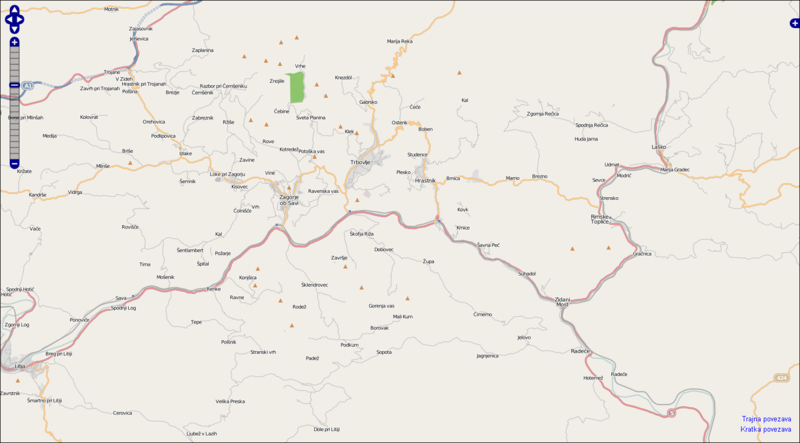
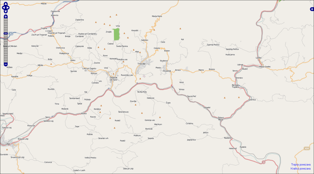
Size of this preview: 800 × 443 pixels. Other resolutions: 320 × 177 pixels | 640 × 355 pixels | 1,024 × 567 pixels | 1,480 × 820 pixels.
Original file (1,480 × 820 pixels, file size: 362 KB, MIME type: image/png)
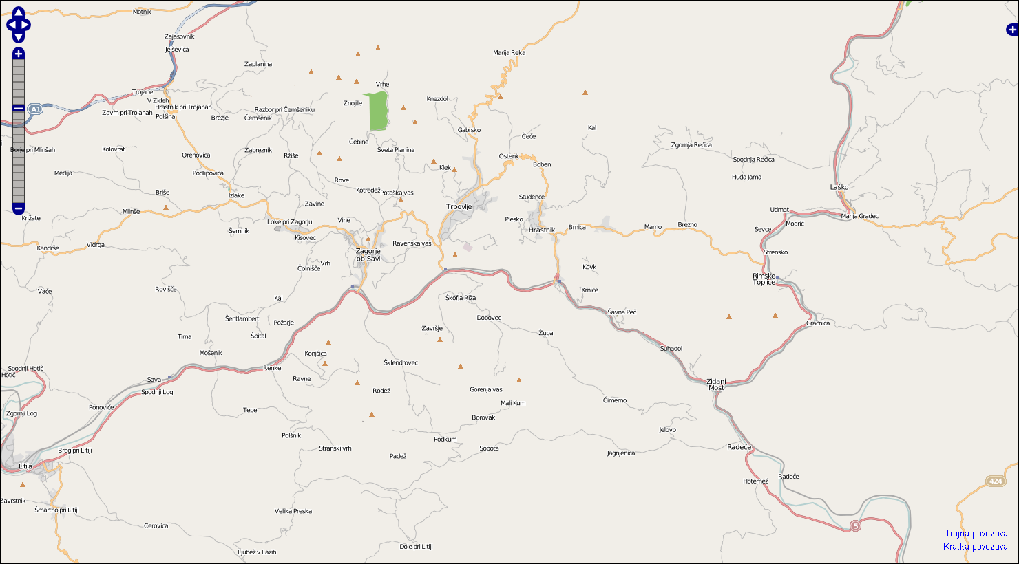
current snapshot of Zasavje region (for my page)
Licensing
![]()
![]()
![]()
This screenshot contains OpenStreetMap Carto rendering.
The OpenStreetMap Carto map style is made available under the Creative Commons CC-0 1.0 Universal Public Domain Dedication.
- Attribution to the map data:
![]()
Contains map data © OpenStreetMap contributors, made available under the terms of the Creative Commons Attribution-ShareAlike 2.0 (CC-BY-SA-2.0).
File history
Click on a date/time to view the file as it appeared at that time.
| Date/Time | Thumbnail | Dimensions | User | Comment | |
|---|---|---|---|---|---|
| current | 08:20, 26 March 2010 | | 1,480 × 820 (362 KB) | Romanm (talk | contribs) | current snapshot of [http://www.openstreetmap.org/?lat=46.1222&lon=15.0691&zoom=12&layers=B000FTF Zasavje region] (for my page) Category:Zasavje |
You cannot overwrite this file.
File usage
There are no pages that use this file.