File:Zoom-12-seas.png
Jump to navigation
Jump to search

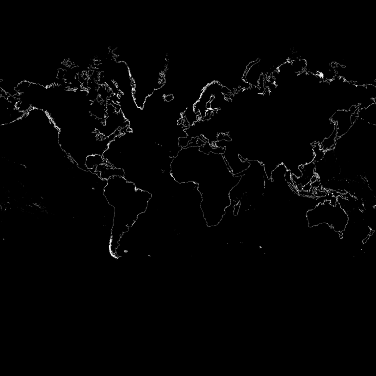
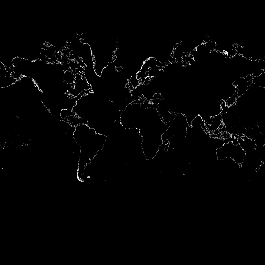
Size of this preview: 600 × 600 pixels. Other resolutions: 240 × 240 pixels | 480 × 480 pixels | 768 × 768 pixels | 1,024 × 1,024 pixels | 2,048 × 2,048 pixels | 4,096 × 4,096 pixels.
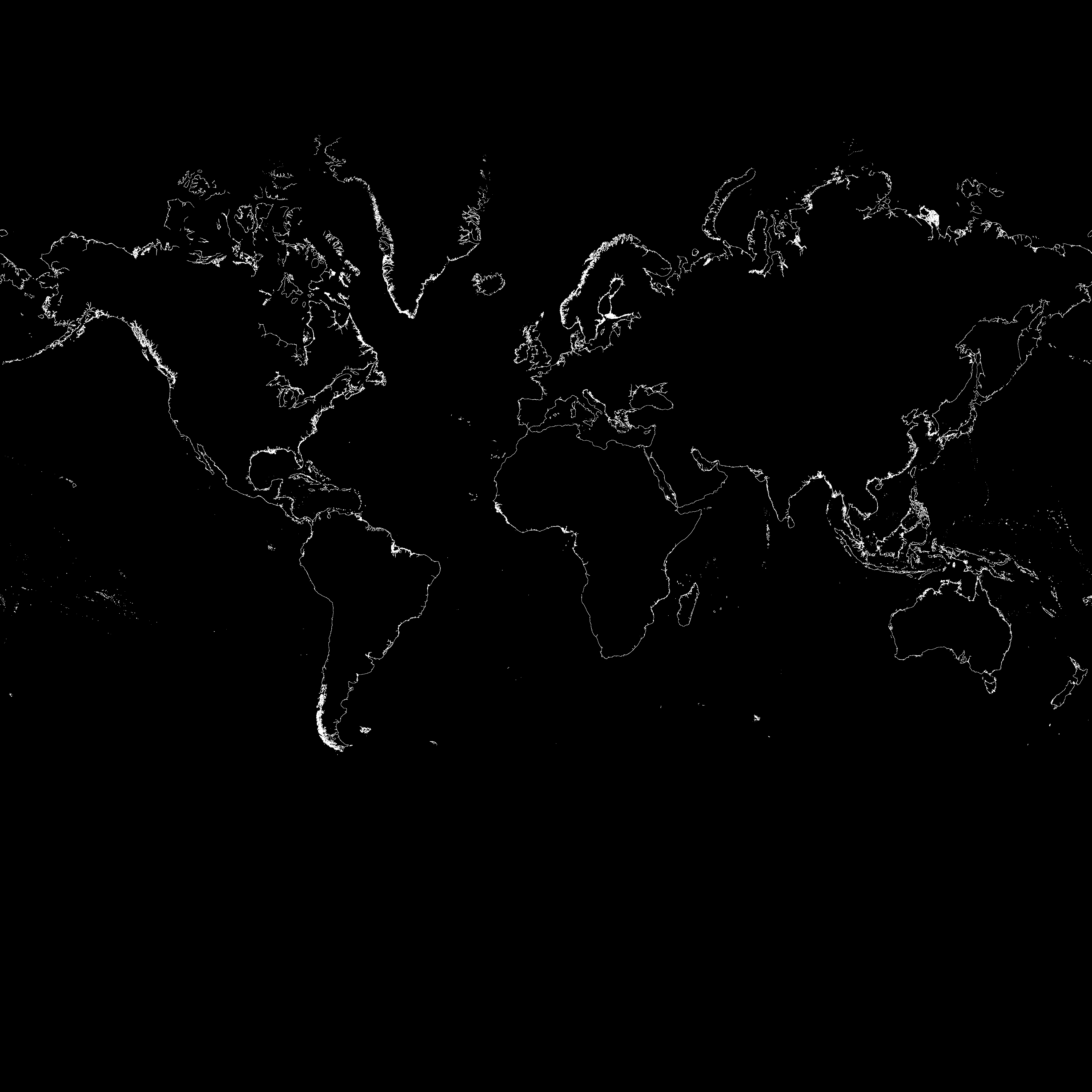
Original file (4,096 × 4,096 pixels, file size: 108 KB, MIME type: image/png)
This image has one pixel per zoom-12 tile. White means it's a coastline that will need to be rendered.
File history
Click on a date/time to view the file as it appeared at that time.
| Date/Time | Thumbnail | Dimensions | User | Comment | |
|---|---|---|---|---|---|
| current | 12:03, 22 January 2007 | | 4,096 × 4,096 (108 KB) | Kleptog (talk | contribs) | This image has one pixel per zoom-12 tile. White means it's a coastline that will need to be rendered. |
You cannot overwrite this file.
File usage
The following 2 pages use this file: