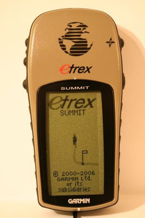
Garmin/eTrex Summit
< Garmin
Jump to navigation
Jump to search
| Garmin eTrex Summit | |||||
|---|---|---|---|---|---|
| Description | navigator | ||||
| GNSS | 12 channels augmentation: waas;egnos | ||||
| Memory | Internal: (10.000 max logging). External: ? no. | ||||
| Integrated equipment | compass,altimeter | ||||
| Connectivity | rs232 | ||||
| Features |
| ||||
| Pros |
| ||||
| Cons |
| ||||
12 channel GPS with electronic compass and altimeter, but no mapping capability. Uses 2 AA batteries; rechargable batteries suffice.
