IT:Tag:natural=scree
| Descrizione |
|---|
| Un'accumulo di roccie che forma un pendio |
| Rappresentazione in OSM Carto |

|
| Gruppo: natural |
| Applicabile agli elementi |
| Vedi anche |
| Stato: de facto |
| Strumenti |
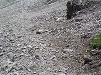
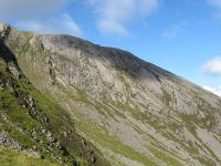
Un ghiaione è un'accumulo di rocce, generalmente spigolose, che forma un pendio alla base di pareti rocciose (vedi ghiaione su Wikipedia).
Creare
Come molti altri tag IT:Key:natural, anche questo andrebbe applicato di preferenza a un'area ![]() . Disegnare l'area approssimativamente intorno alla portata del ghiaione.
. Disegnare l'area approssimativamente intorno alla portata del ghiaione.
il tag può essere usato anche su un punto ![]() ma casi di questo genere dovrebbero preferibilmente essere sviluppati in aree.
ma casi di questo genere dovrebbero preferibilmente essere sviluppati in aree.
Foto esempio
Rendering
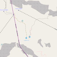
sezione da tradurre dall'inglese Screes are not currently rendered in Mapnik or Osmarender.
An example of a potential rendering style based on quarry is shown (see also [1]) below:
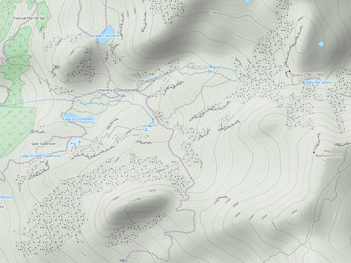
The OpenCycleMap Landscape layer has recently acquired an attractive approach to rendering scree.
Note how this works well with contour lines and hill shading.
