There was some discussion that waterway=ditch does not differentiate a waterway from a waterway=stream by size, but only by having been excavated by human intervention. Comparing the first and the last picture in the table below I propose that waterway=stream isn't suitable for the full range of differents streams. Some of these might well be man made, but the problem stays the same.
I have tagged some of the first examples as waterway=brook for now, until there's some sort of a guideline.
| Image
|
Approximate width
|
Description
|
Tags?
|
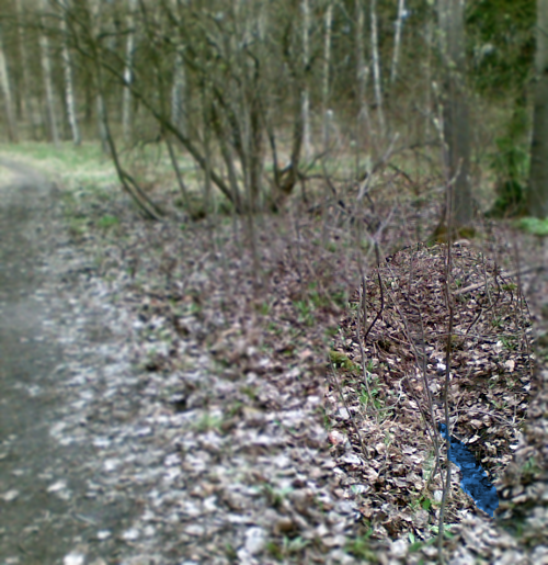
|
20 cm
|
An intermittent brook, just a narrow depression most of the time.
|
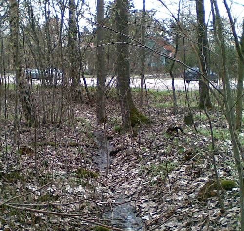
|
40 cm
|
An intermittent brook, just a narrow and possibly moist depression most of the time.
|
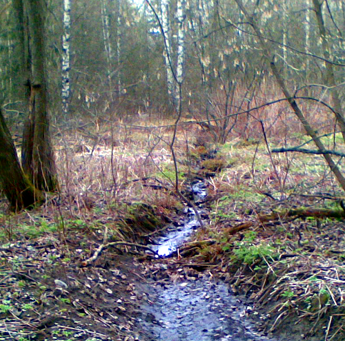
|
60 cm
|
An intermittent waterway, possibly just a moist depression part of the year. Ditch, brook or stream?
|
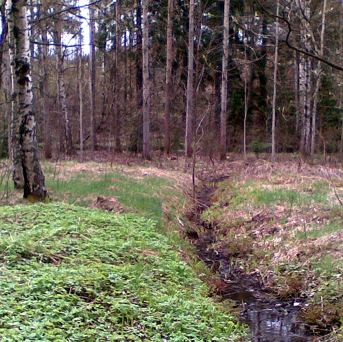
|
80 cm
|
A waterway filled with water most of the year, but could run dry in the summer. Ditch, brook or stream?
|
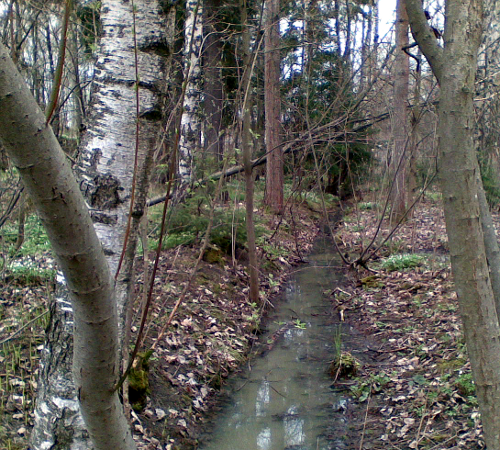
|
1 m
|
A stream filled with water year round. All but the elderly could just jump over it.
|
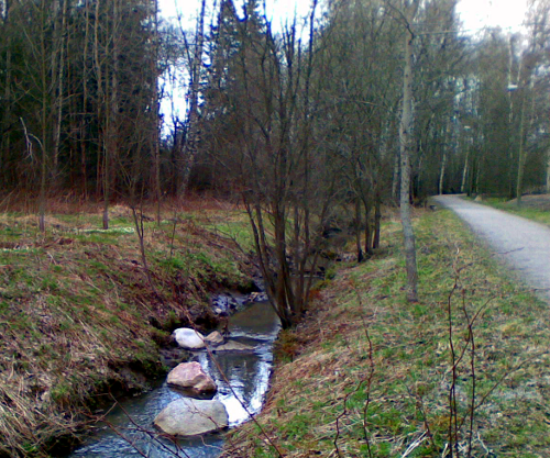
|
1.5 m
|
A stream filled with water year round. Not all would, but most people could still jump over it.
|
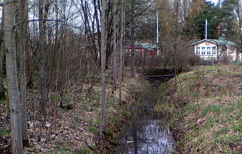
|
1.7 m
|
A stream filled with water year round. Most people wouldn't try to jump over it, even if many could with a running start.
|
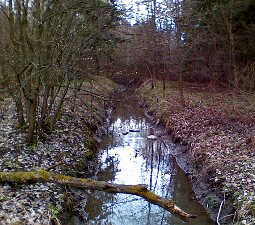
|
2.0 m
|
A stream filled with water year round. Only few could jump over it.
|


