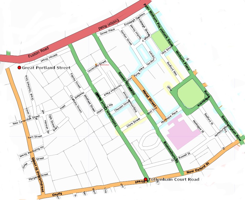
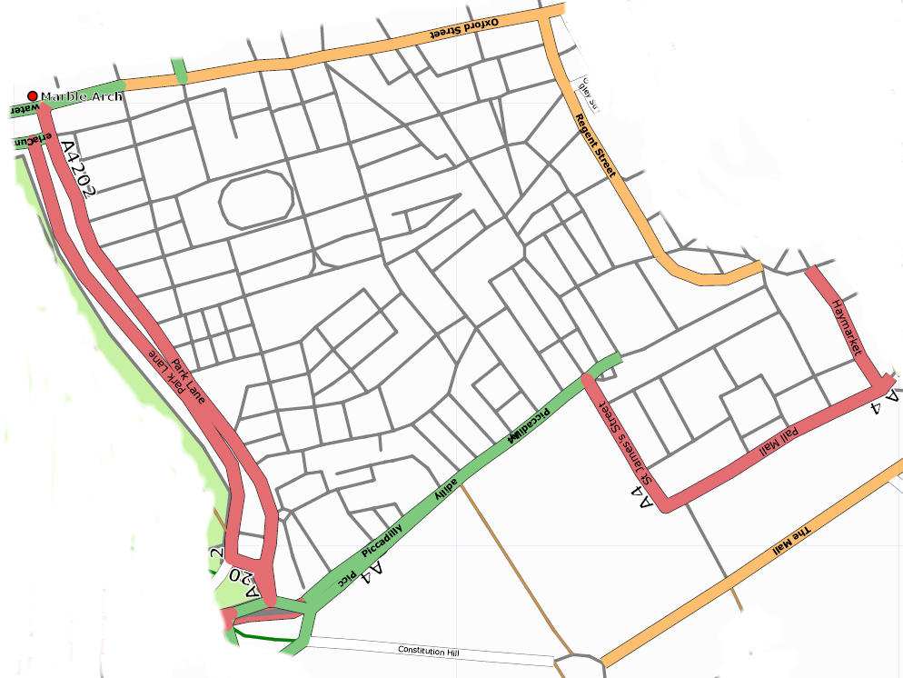
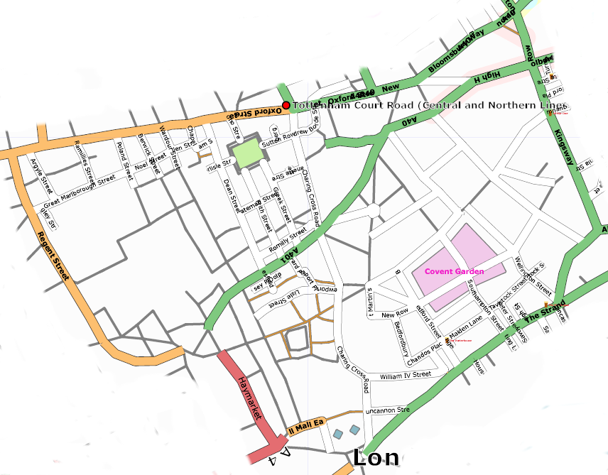
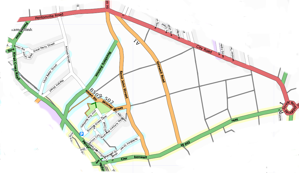
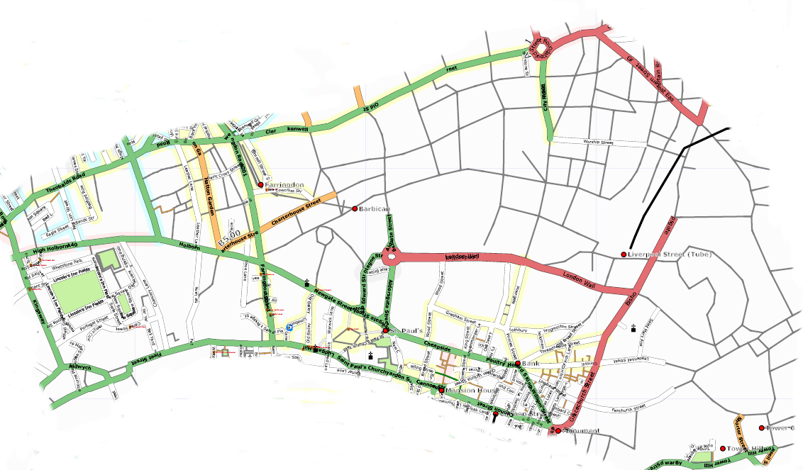
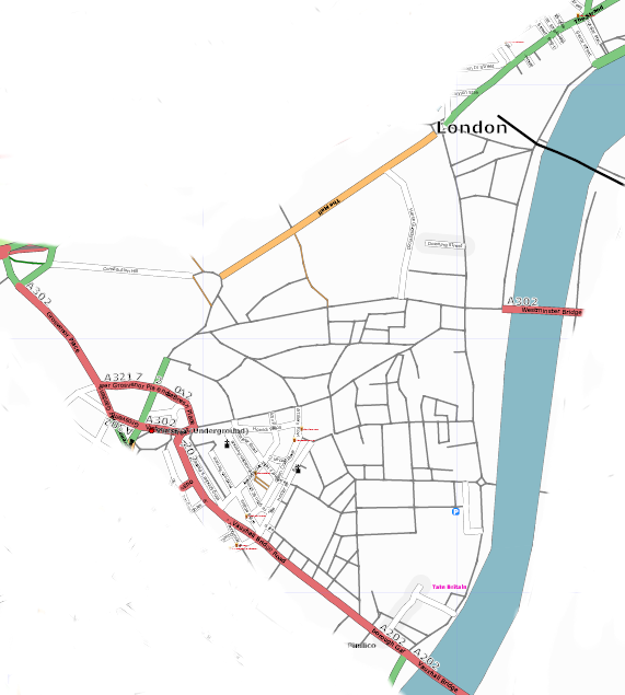
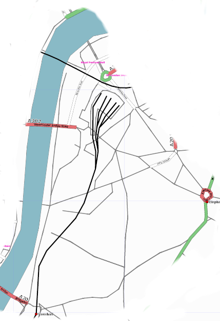
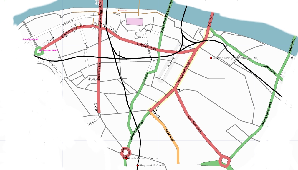
London mapping party Jan 2007/sector maps
< London mapping party Jan 2007(Redirected from London mapping party/sector maps)
Jump to navigation
Jump to search
Printed maps will be available from the meet point. These show detail that is only in segments (grey) which slippy map does not show.

