Louisville, Kentucky/Building Outlines Import/OSMvsGISOverlapExamples
Jump to navigation
Jump to search
OSM vs GIS Overlap Examples
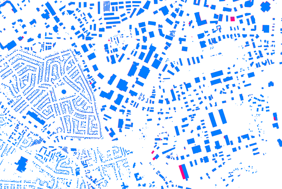
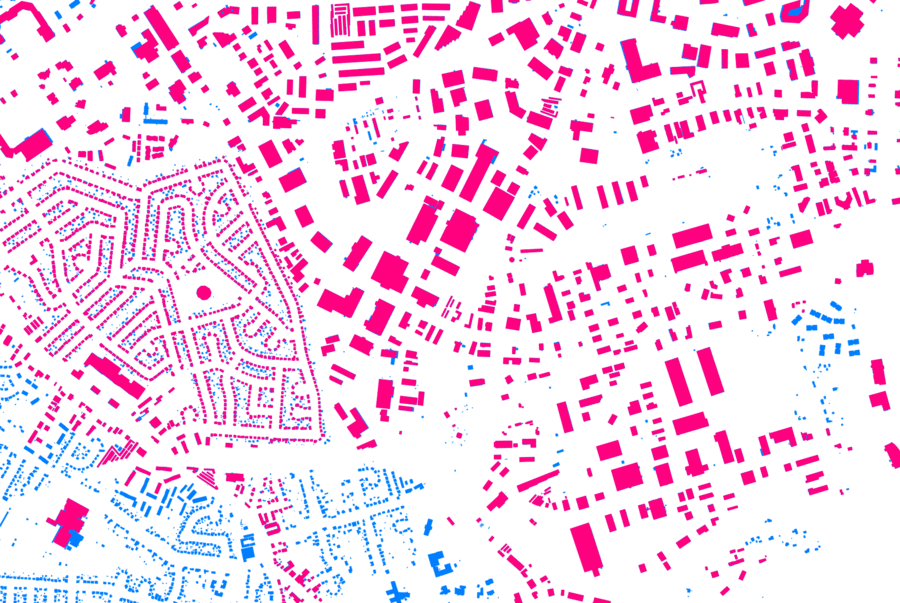
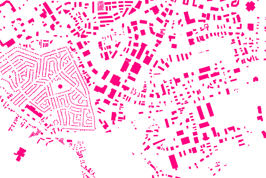
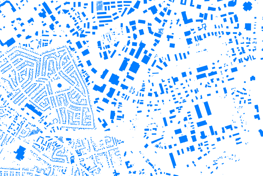
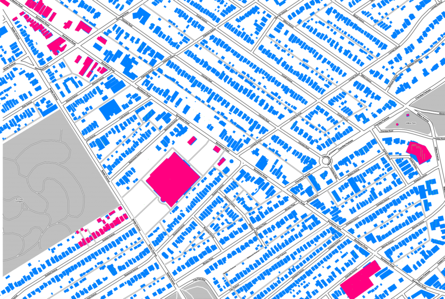
Some example details of building data overlap from user contributions (red) and GIS data to import (blue).
We will be handling these overlaps manually - this page is just for a discussion of data quality.
In most areas I'm familiar with, the GIS data seems more detailed and accurate. I made this page to get feedback from other local OSM editors.
New GIS Data On Top
OSM Edits On Top
OSM Edits Only
New GIS Data Only
Highlands Area Detail
OSM Edits on top. Green dots are address points.
