MapOut
Jump to navigation
Jump to search
| MapOut | |
|---|---|
| License: | Proprietary (5.49€) |
| Platform: | iOS |
| Version: | 3.2.2 (2019-07-11) |
| Languages: | English, German, and French |
| Website: | https://mapout.app |
| Install: | |
| Programming languages: | Objective-C and C |
|
Offline map covering the whole world, OpenGL vector rendering | |
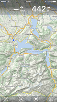
MapOut is an iPhone&iPad app made for outdoor enthusiasts. It provides a high quality offline renderer based on OpenGL and shows OpenStreetMap data on top of a hill-shade (terrain) background based on SRTM data.
More information is available on https://mapout.app
Features
- Covering the whole world
- Draw your own tours and snap them to underlying road network
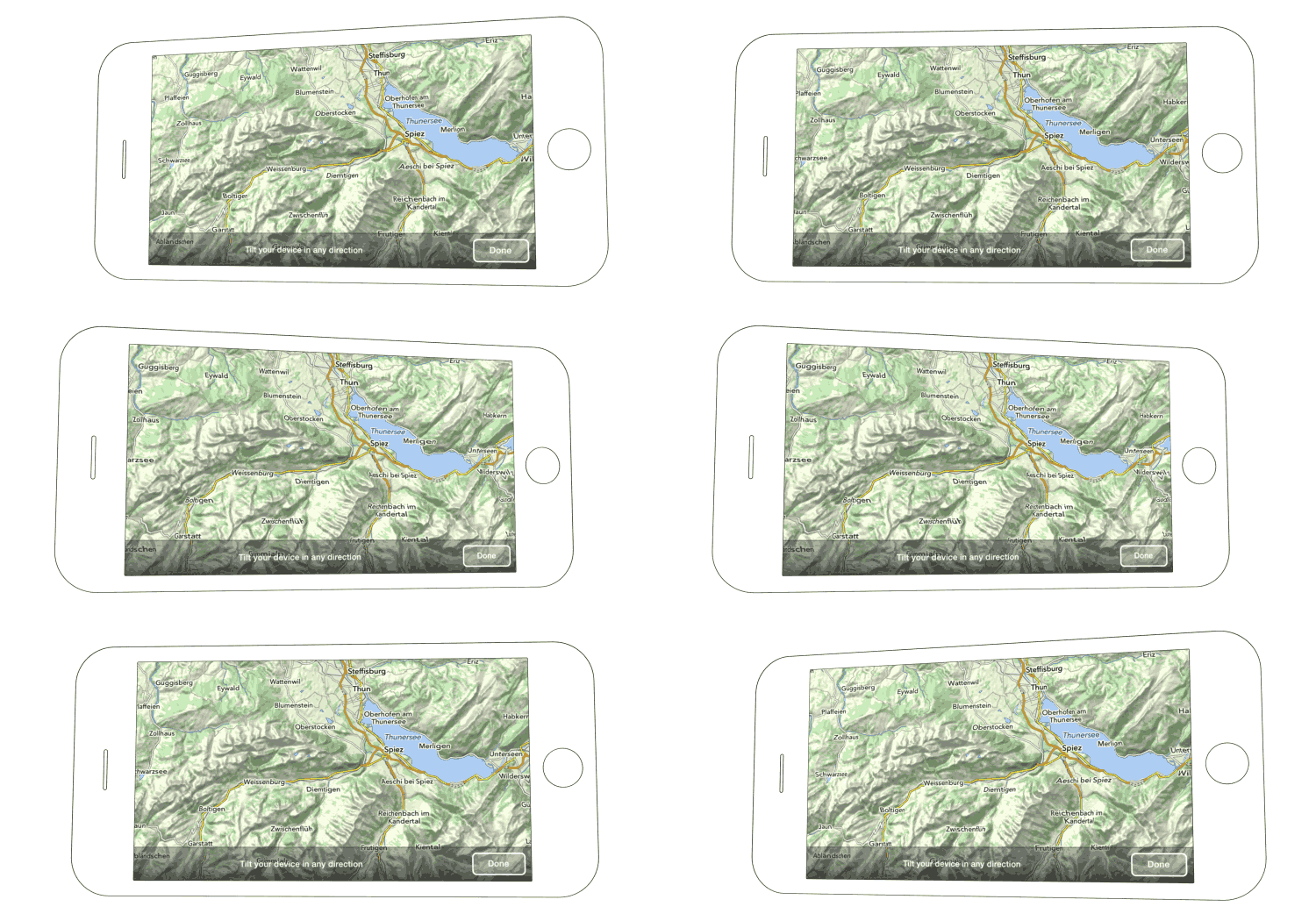
- 3D perpective view: Tilt your device to experience a 3D view
- Offline vector map using OpenGL
- Infinite zoomlevels: pixel-perfect map on all zoom levels
- Topographical map: altitude data everywhere
- Additional overlays (bicycle, hiking, tourism, transport, ski slopes, more in the future)
- Import tours (GPX, KML and many more formats)
- Record tours and share them as GPX-tracks
- Tour management with altitude profile and other infos
- Optimized for iPhone and iPad
- Currently available in English, German and French languages

