Maps for developing countries
If you intend to create a map for rural areas in developing countries, it is worth considering that internet access will be very limited and large-scale printers will not be available. By creating a PDF of the map, it will be able to be sent by e-mail and/or printed out on any printer. The map can then be glued and stuck together by sticky tape. The map can also be easily photocopied and sold. This can help with job creation. The maps can be invaluable to help pinpoint local resources and start effective local planning.
Once you have created your map (for example, with Bigmap), take your PNG or JPG file and use a program similar to Posterazor to create the PDF.
Posterazor is available for Windows, Mac OS X and Linux (included in Fedora and Ubuntu). Clicking on the settings button reveals instructions in German, English, Spanish, Finnish, French, Italian, Dutch, Belgian, Polish, Brazilian Portuguese, European Portuguese, and Simplified Chinese.
Hints and Tips
- You will be making a very large poster from a small image. It is important that your image is of a very high resolution. If you are exporting a picture from Inkscape, then you will want to export it at a resolution of 1800 dpi or higher. This may seem very high, but when the poster is rendered at, say, 4 times the size, it will bring the printed resolution right down.
- The PNG files will be very large. Part of the reason is that the PNG file uses RGB for colours. Most maps do not need that level of colour depth. If you transform your PNG so that it uses Indexed Colours, then you will reduce the size of the file considerably. You can do this using a program called Gimp. Download this free program, open your map, and choose - mode - Indexed - Generate Optimum Palette and resave your file. If you intend the map for the web, you can choose the web palette option.
- When using Posterazor, the easiest way to scale the map to the correct number of pages is to use the - image size: size in percent option
Example
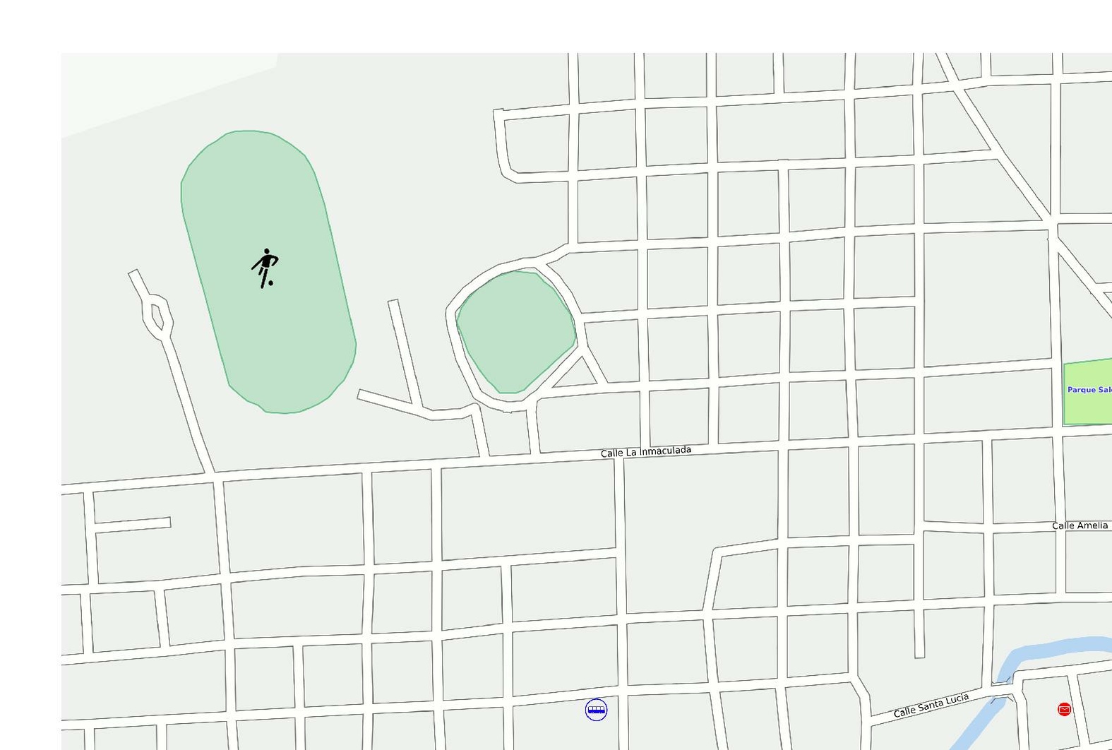
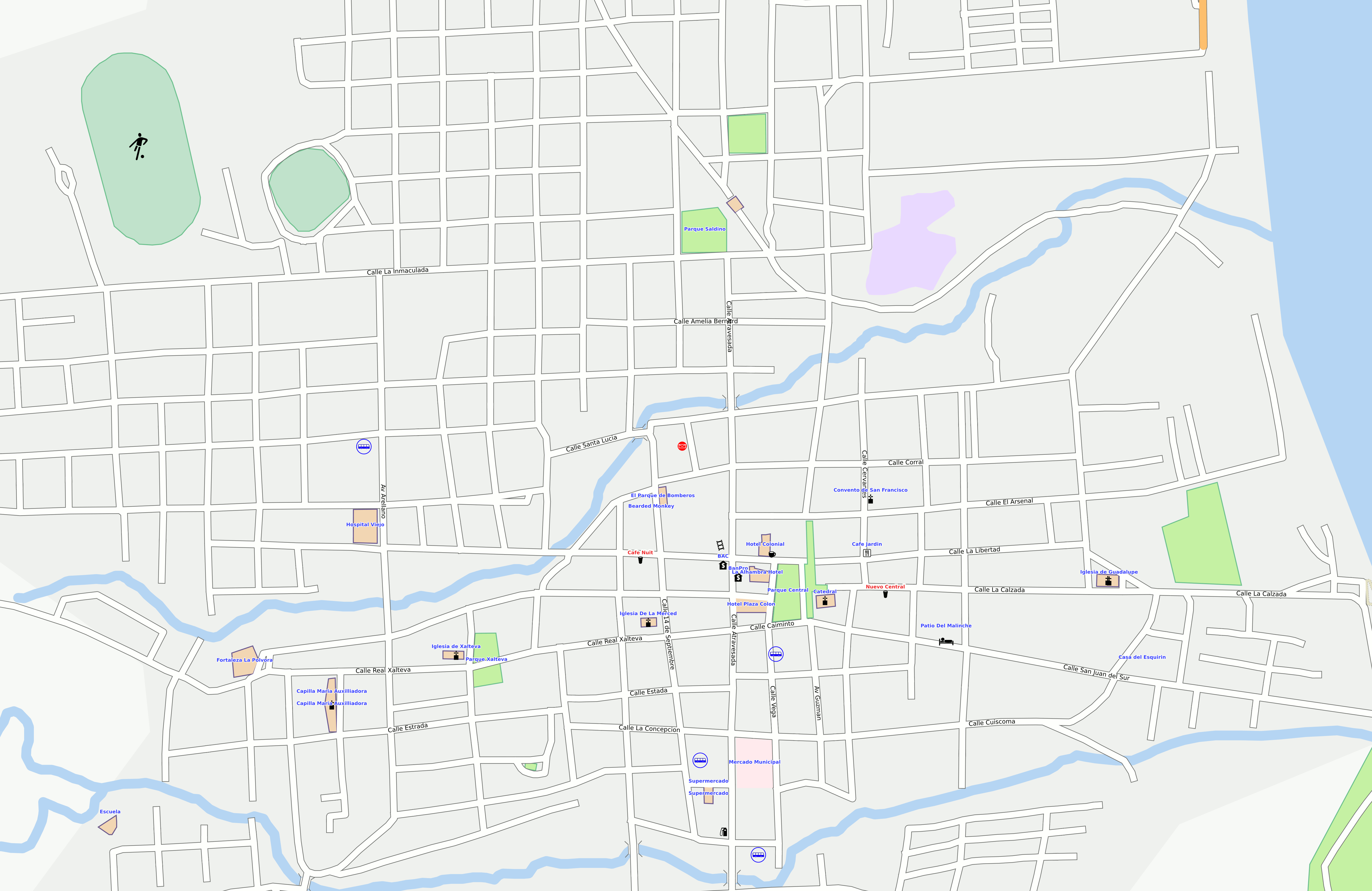
- High resolution image of Granada Nicaragua http://wiki.openstreetmap.org/images/9/99/Granada-optimised.png
- PDF of Granada Nicaragua
See also
- OSM on Paper - various options for printing maps
- Humanitarian OSM Team - other ways of helping developing countries with maps