GpsPrune/Processing tracks and photos
< GpsPrune(Redirected from Processing tracks and photos in GpsPrune)
Jump to navigation
Jump to search
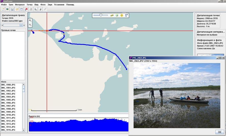
I want to give some screenshots of the results of processing tracks and photos in the program GpsPrune.
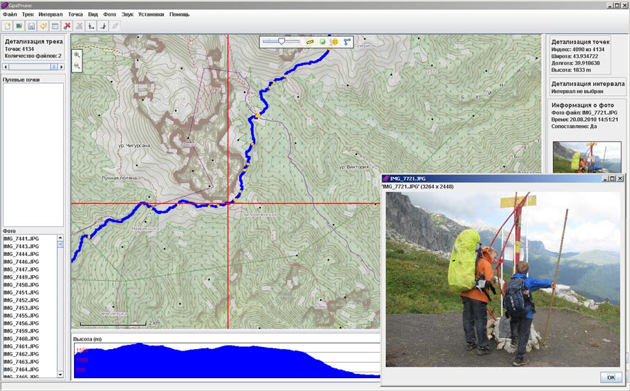
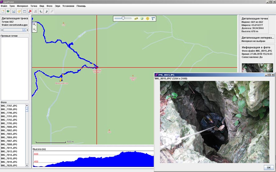
On foot
- GpsPrune with base layer OpenCycleMap
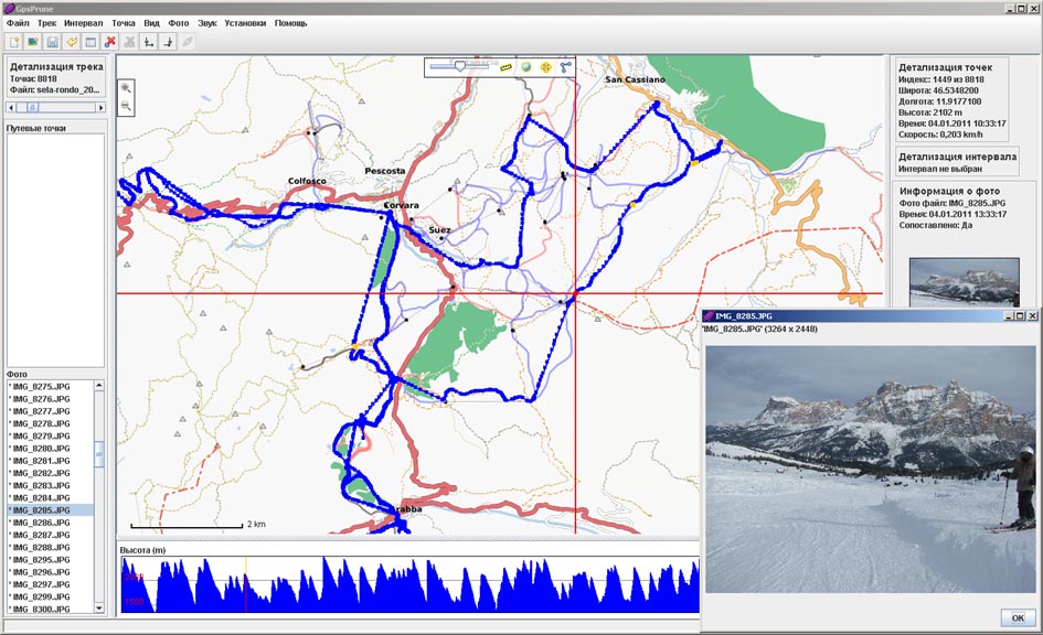
Skiing
- GpsPrune with base layer Osmarender
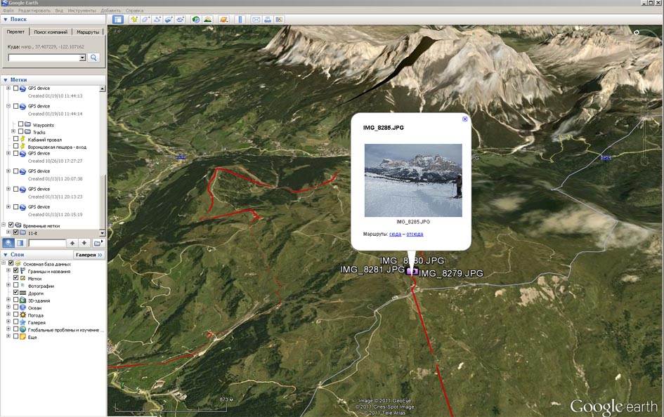
- Export to kmz\kml 3D-View of Google Earth
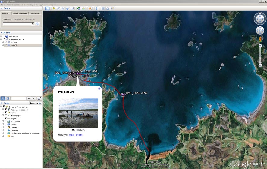
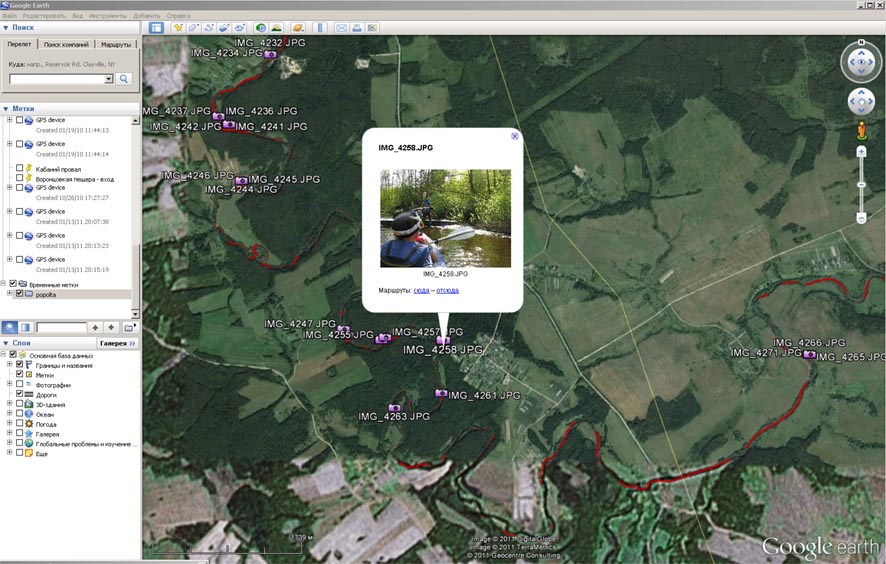
On the water
- Export to kmz\kml - 2D-View of Google Earth
- Export to kmz\kml - 2D-View of Google Earth
Links
- Website of GpsPrune
- Osm wiki page RU:GpsPrune
