Project of the week/2010/Dec 08
OpenFireMap
The project OpenFireMap highlights the fire stations and hydrants.
Link: OpenFireMap.org
Fire stations


How often do we walk past the fire station without giving it a second thought? Once in a while we might hear the sirens of the engines as they roll on a call. And we all pull over to let emergency vehicles pass.
The Project of the Week is to map your local fire station.
Tagging suggestions
Fire stations can be mapped as a node or an area.
Required tags
The only required tags for a fire station are
- amenity=fire_station
- building=yes # for a fire station building outline.
Optional tags
Add the station building, platform and rails if they aren't already present. In some stations it might also be practical to add a way or polygon for the railway platform.
- name=* include the name or station number of the the fire station.
- operator=* include the fire department or municipal operator.
Add addressing information for the fire station as well.
Surrounding amenities
Are related amenities around the fire station? Does the station also serve as a drop-off location for a local food bank or other social agency?
Is the fire station co-located with a police station, ambulance or paramedic station? Add those as well!
Results
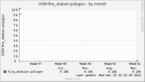
This graph shows that mappers added fire station polygons faster than usual during the week 49 Project of the Week.