Robin Hood Way
The Robin Hood Way meanders through Nottinghamshire in England, taking in forest tracks, former colliery railways and open farmland. It runs for 105 miles from Nottingham Castle to Edwinstowe Church (via a very circuitous route that takes in much of the North of the county).
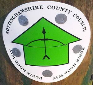
Various waymarks have been used over the years, the most recent of which seems to be:
Some of the others that can still be found:
Progress
A number of sections seem to have been walked but not yet labelled. In addition, a number of sections follow features mapped from out of copyright sources, such as NPE footpaths or railways. For still more sections it's unclear how they've come to be added to the relation, so many bits already in the relation still need mapping properly.
Relation 1652131![]() 1652131.
1652131.


