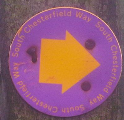
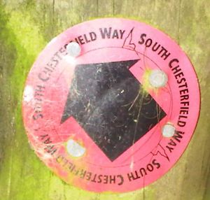
South Chesterfield Way
Jump to navigation
Jump to search
The South Chesterfield Way runs south from the centre of Chesterfield to the centre of Clay Cross. It connects with the North Chesterfield Way.
It has been added as relation 1069861![]() 1069861.
1069861.
There are a couple of short gaps in the relation. One, near Bolehill, is where it appears that there technically isn't a public footpath between two signs. Another near Holymoorside is where the route past a new building on a farm isn't clear.
Note that the route has changed since it was first proposed. Some of the original signs on the old route still exist - if you see one of these, don't follow it or you'll get lost!

