Uploads by Breki
Jump to navigation
Jump to search
This special page shows all uploaded files.
| Date | Name | Thumbnail | Size | Description | Versions |
|---|---|---|---|---|---|
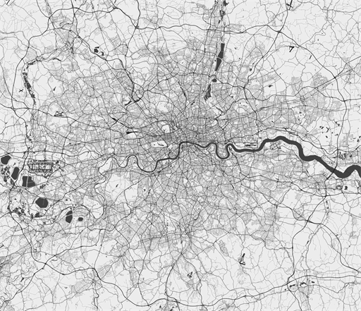
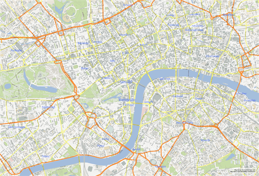
| 13:24, 17 December 2015 | ScalableMapsLondonBW.png (file) |  |
118 KB | Map of London metropolitan area road network in black and white. Vector map version available at [http://scalablemaps.com/map/london-high-bw-nolabels] | 1 |
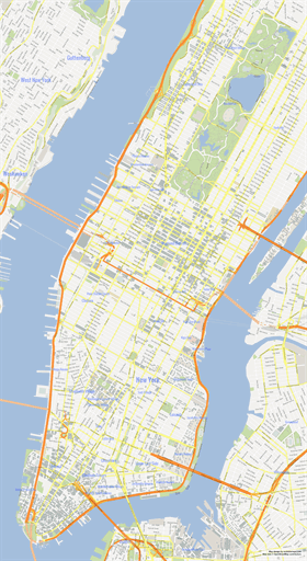
| 11:45, 3 July 2013 | ScalableMapsManhattan.png (file) |  |
87 KB | 2 | |
| 11:44, 3 July 2013 | ScalableMapsUsa.png (file) |  |
83 KB | 1 | |
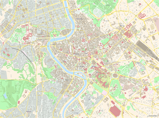
| 11:43, 3 July 2013 | ScalableMapsRome.png (file) |  |
137 KB | 1 | |
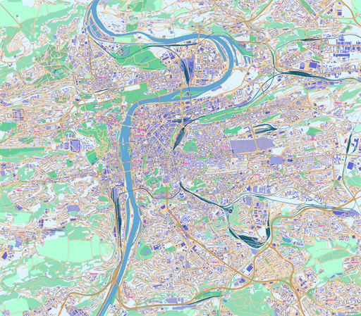
| 11:42, 3 July 2013 | ScalableMapsPrague.png (file) |  |
192 KB | 1 | |
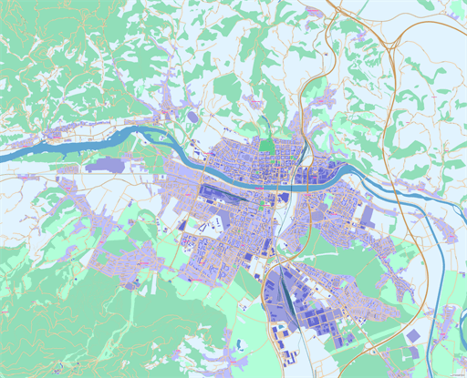
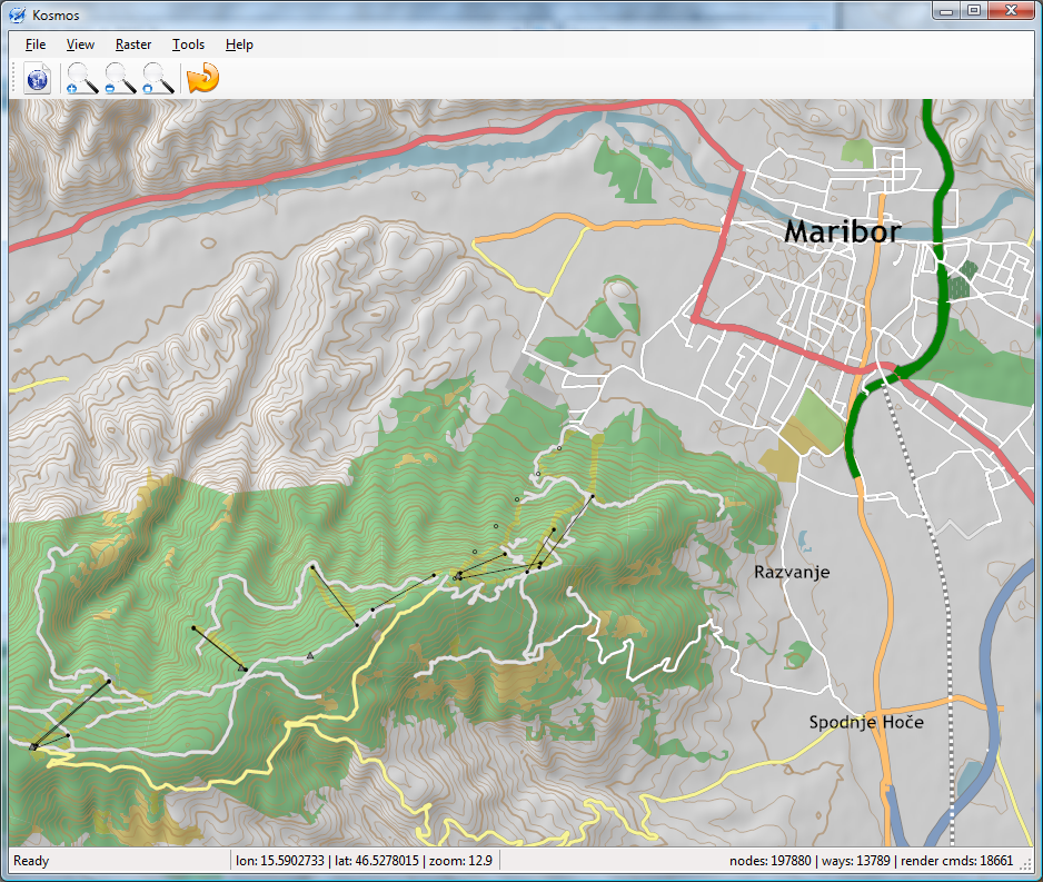
| 11:41, 3 July 2013 | ScalableMapsMaribor.png (file) |  |
119 KB | 1 | |
| 11:40, 3 July 2013 | ScalableMapsLondon.png (file) |  |
143 KB | 1 | |
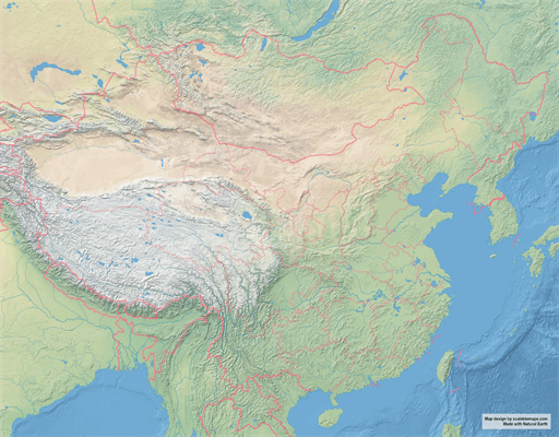
| 11:39, 3 July 2013 | ScalableMapsChina.png (file) |  |
141 KB | 1 | |
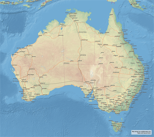
| 11:38, 3 July 2013 | ScalableMapsAustralia.png (file) |  |
134 KB | 1 | |
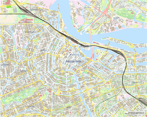
| 11:37, 3 July 2013 | ScalableMapsAmsterdam.png (file) |  |
151 KB | 1 | |
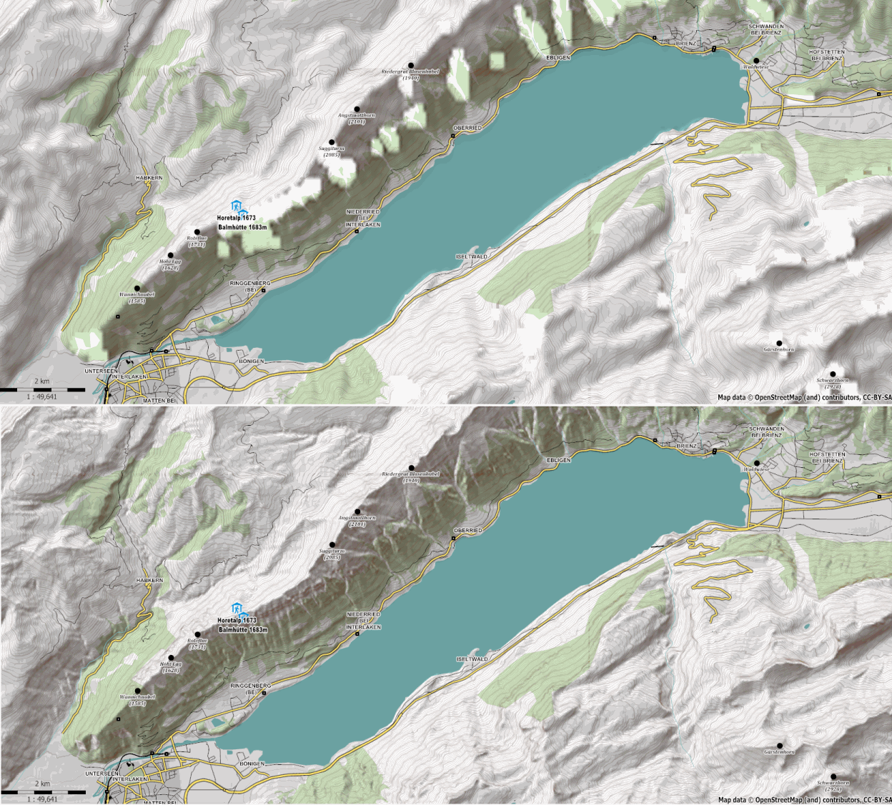
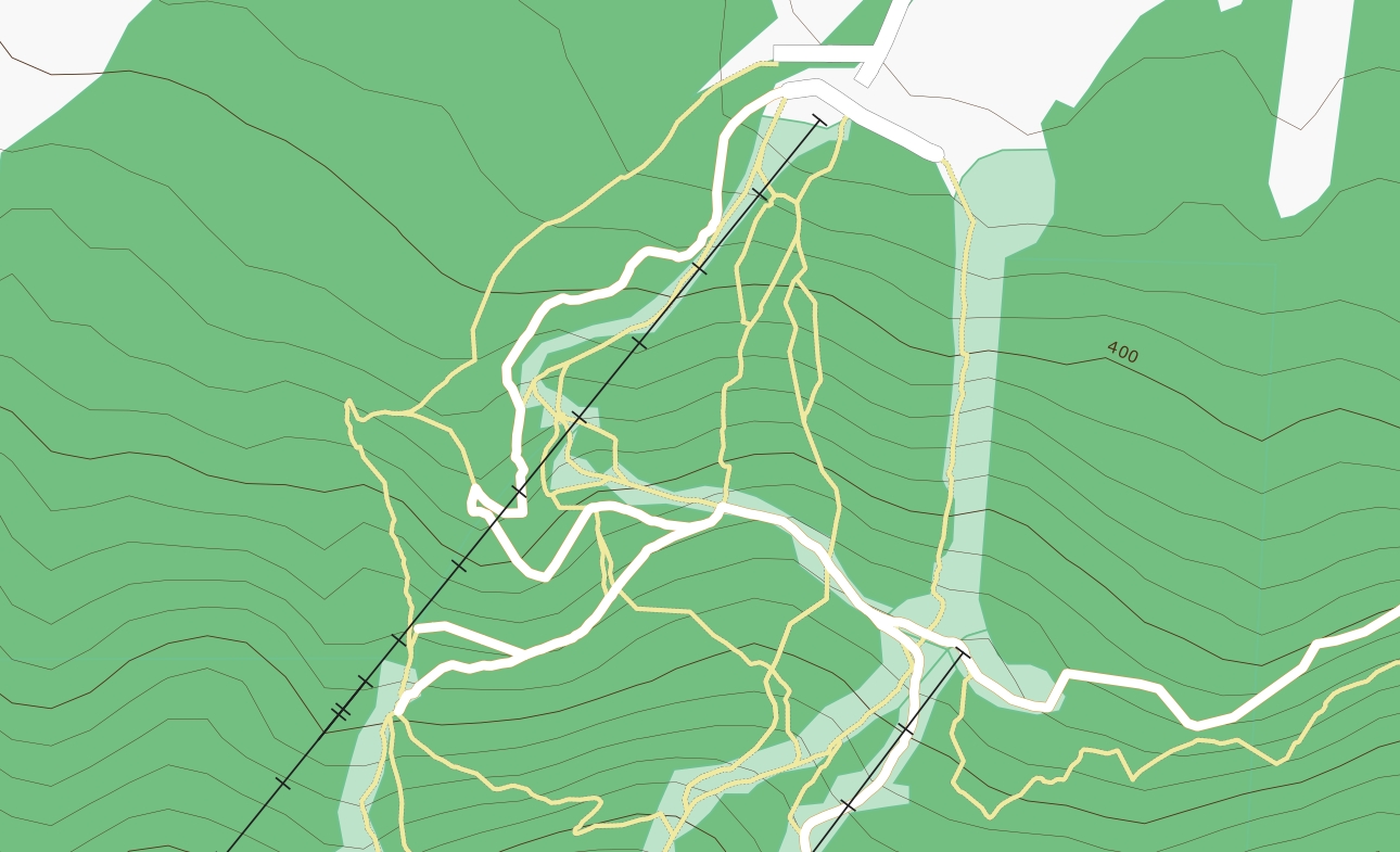
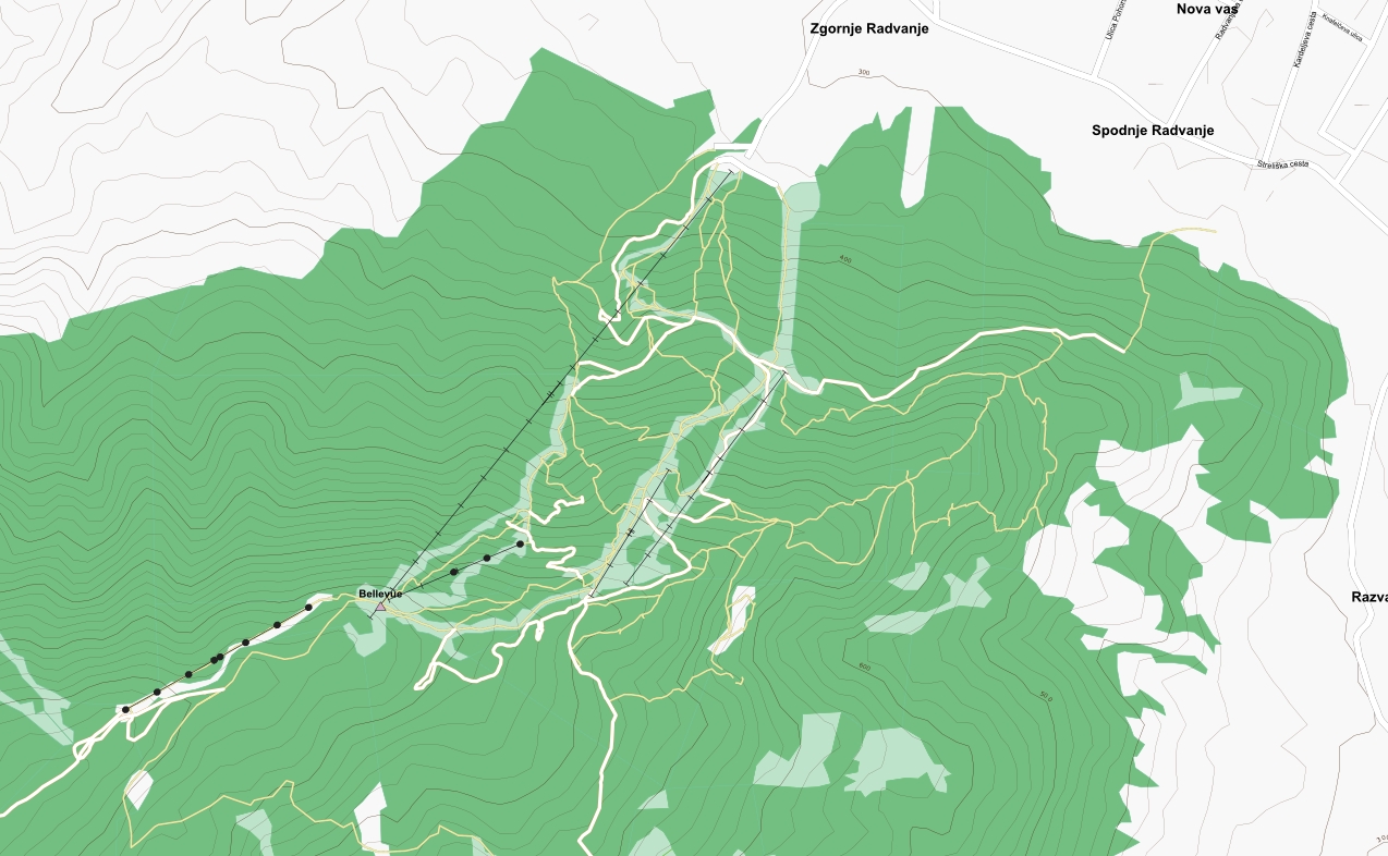
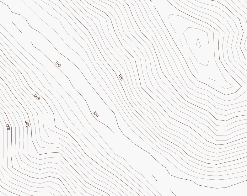
| 21:53, 25 February 2011 | MaperitiveSRTMComparison.png (file) |  |
534 KB | A comparison of contours and hillshading maps made using standard SRTM3 and that of Viewfinder's Alps SRTM1 DEM. | 1 |
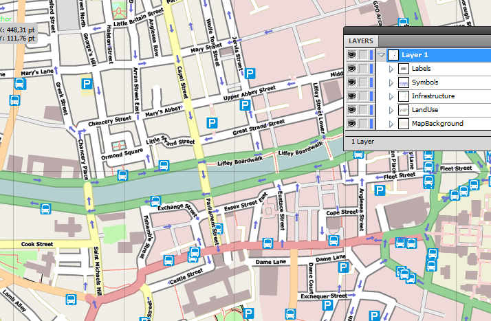
| 19:02, 20 November 2010 | MaperitiveSvgIllustrator.png (file) |  |
138 KB | A screenshot of Illustrator showing a SVG file produced by Maperitive. This new functionality is available in the newest release of Maperitive. | 1 |
| 14:16, 26 June 2010 | Krumlov.svg (file) |  |
230 KB | SVG map of Česky Krumlov, generated using Maperitive. NOTE: when viewing it in a browser like Firefox, the text rendering might not be optimal, due to the limitations of SVG rendering in the browser. You should use tools like Inkscape for a better re | 1 |
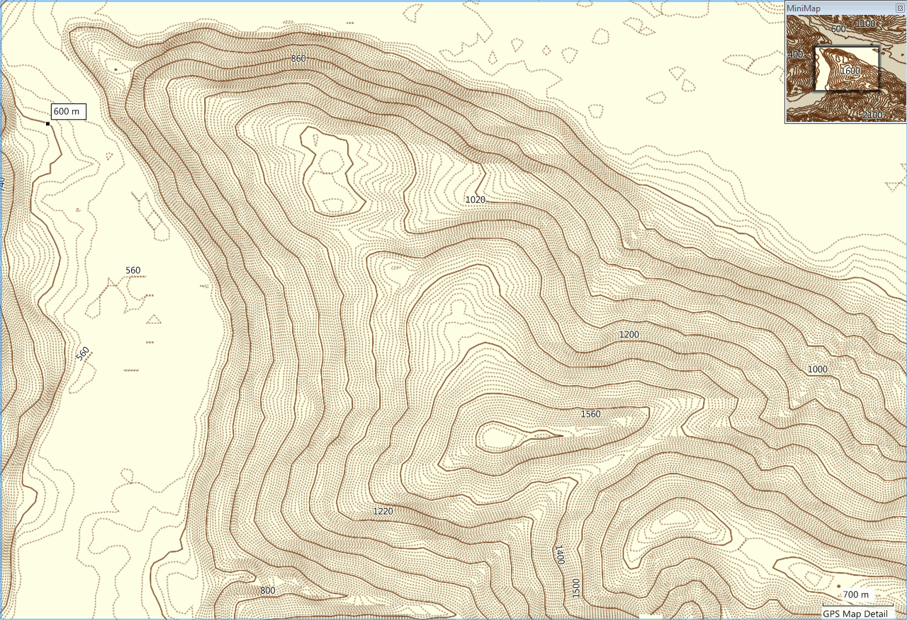
| 20:09, 31 March 2009 | GroundTruthContours Overview.png (file) |  |
401 KB | GroundTruth-generated relief contours map for Garmin GPS units. This is a MapSource screenshot of the map tiles. | 1 |
| 20:07, 31 March 2009 | GroundTruthContours Detail.png (file) |  |
446 KB | GroundTruth-generated relief contours map for Garmin GPS units | 1 |
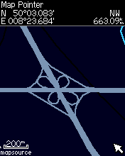
| 18:08, 6 February 2009 | GroundTruthHighwayBox.png (file) |  |
4 KB | 1 | |
| 08:40, 1 February 2009 | Cgpsmapper v0097c.png (file) |  |
3 KB | 1 | |
| 08:40, 1 February 2009 | Cgpsmapper v0097d.png (file) |  |
3 KB | 1 | |
| 19:53, 31 January 2009 | GroundTruth MapSample2.png (file) |  |
3 KB | 1 | |
| 19:53, 31 January 2009 | Unit7.png (file) |  |
6 KB | 1 | |
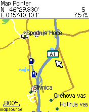
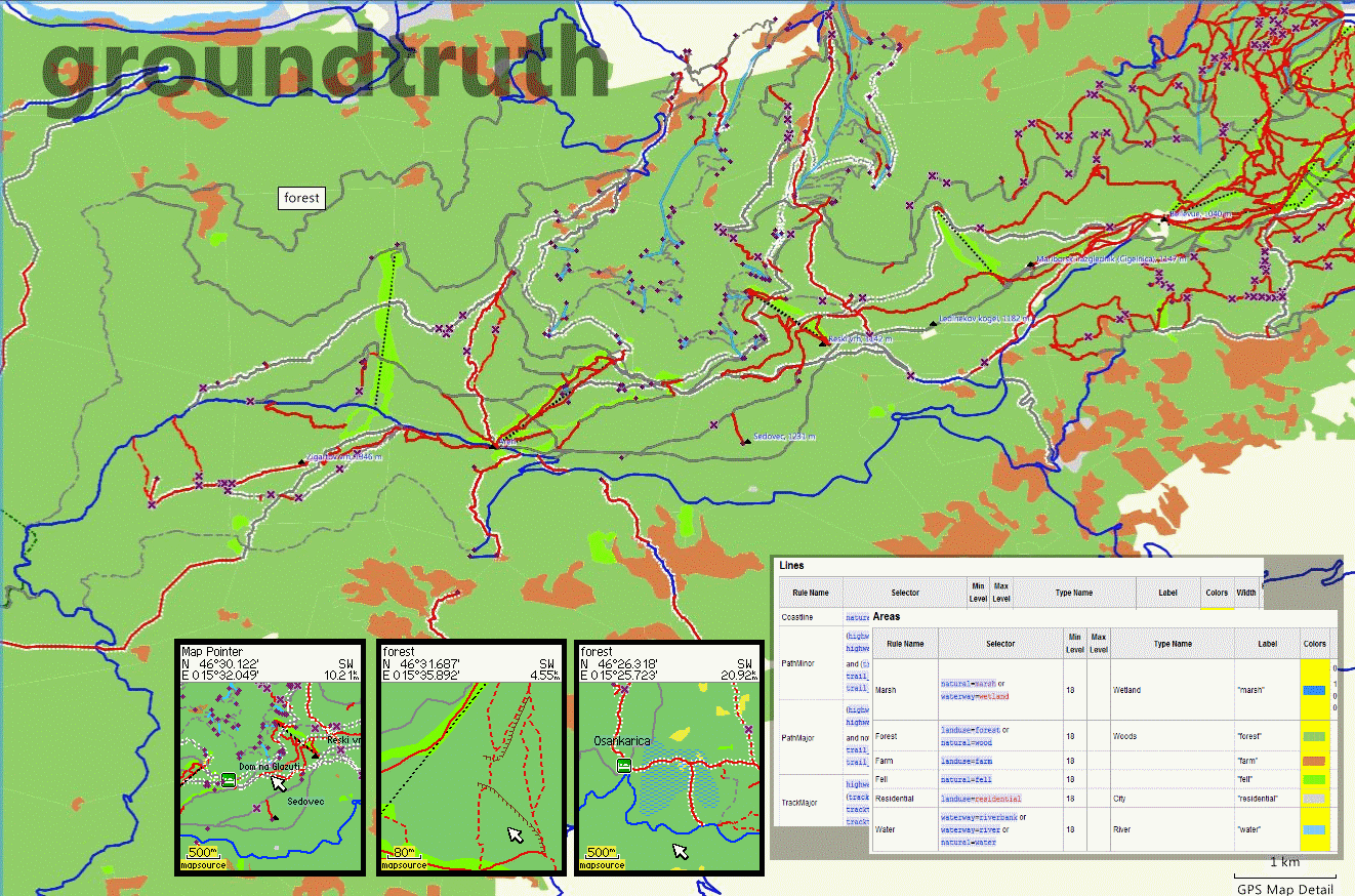
| 22:05, 27 January 2009 | GroundTruth Collage.png (file) |  |
390 KB | A collage of various screenshots of GroundTruth software - MapSource, Garmin unit and Wiki pages | 1 |
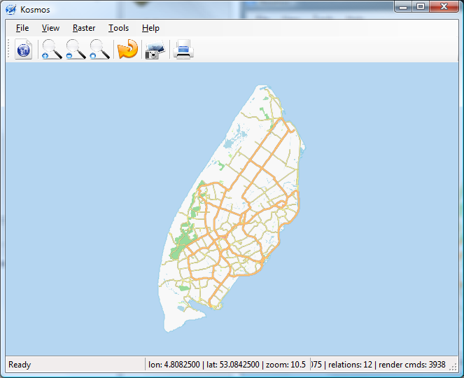
| 08:51, 26 September 2008 | KosmosMGMaps2.jpg (file) |  |
243 KB | 2 | |
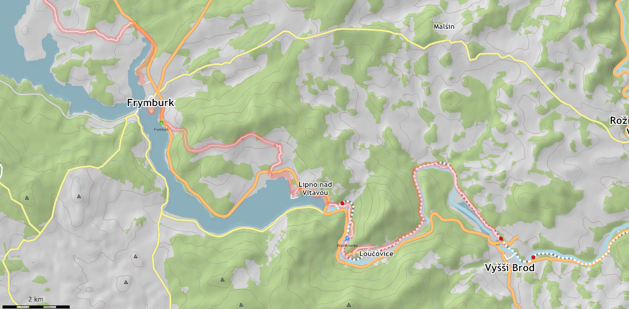
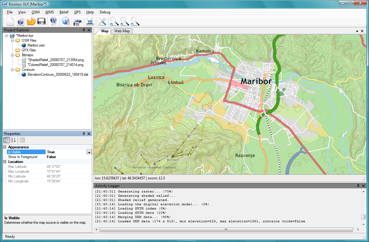
| 07:05, 14 September 2008 | LipnoWithKosmos.png (file) |  |
296 KB | 1 | |
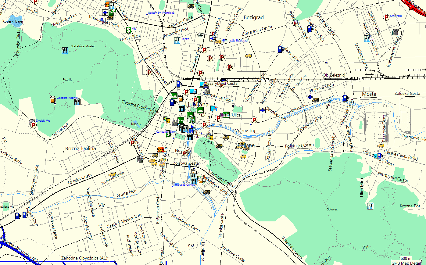
| 20:00, 7 September 2008 | LjubljanaGarmin.png (file) |  |
147 KB | 2 | |
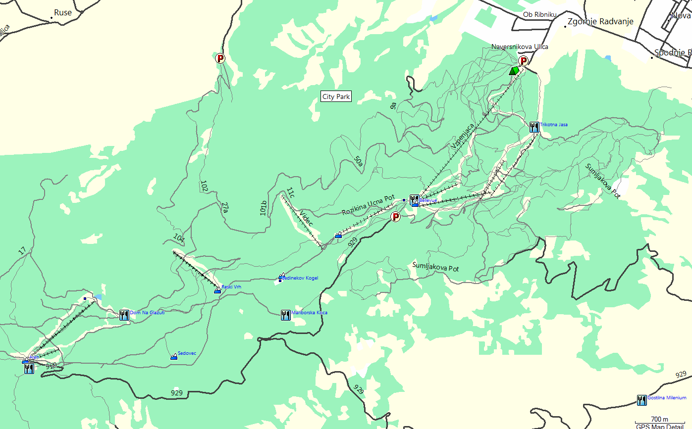
| 19:56, 7 September 2008 | PohorjeGarmin.png (file) |  |
80 KB | 2 | |
| 19:48, 7 July 2008 | Kosmos.2.0.png (file) |  |
655 KB | A screenshot of the new version of Kosmos (2.0). See http://igorbrejc.net/openstreetmap/kosmos-20-is-here-at-last for more info. | 1 |
| 21:45, 22 June 2008 | KosmosTodoTag.png (file) |  |
62 KB | A sample rendering of the {{tag|todo}} in Kosmos. | 1 |
| 20:11, 29 January 2008 | KosmosEliminateSeamsCurved.png (file) |  |
5 KB | 1 | |
| 19:58, 29 January 2008 | KosmosEliminateSeamsOn.png (file) |  |
2 KB | 1 | |
| 19:58, 29 January 2008 | KosmosEliminateSeamsOff.png (file) |  |
2 KB | 2 | |
| 21:37, 27 January 2008 | KosmosGuiSampleMap.png (file) |  |
82 KB | 2 | |
| 22:41, 10 January 2008 | KosmosExample.png (file) |  |
931 KB | 3 | |
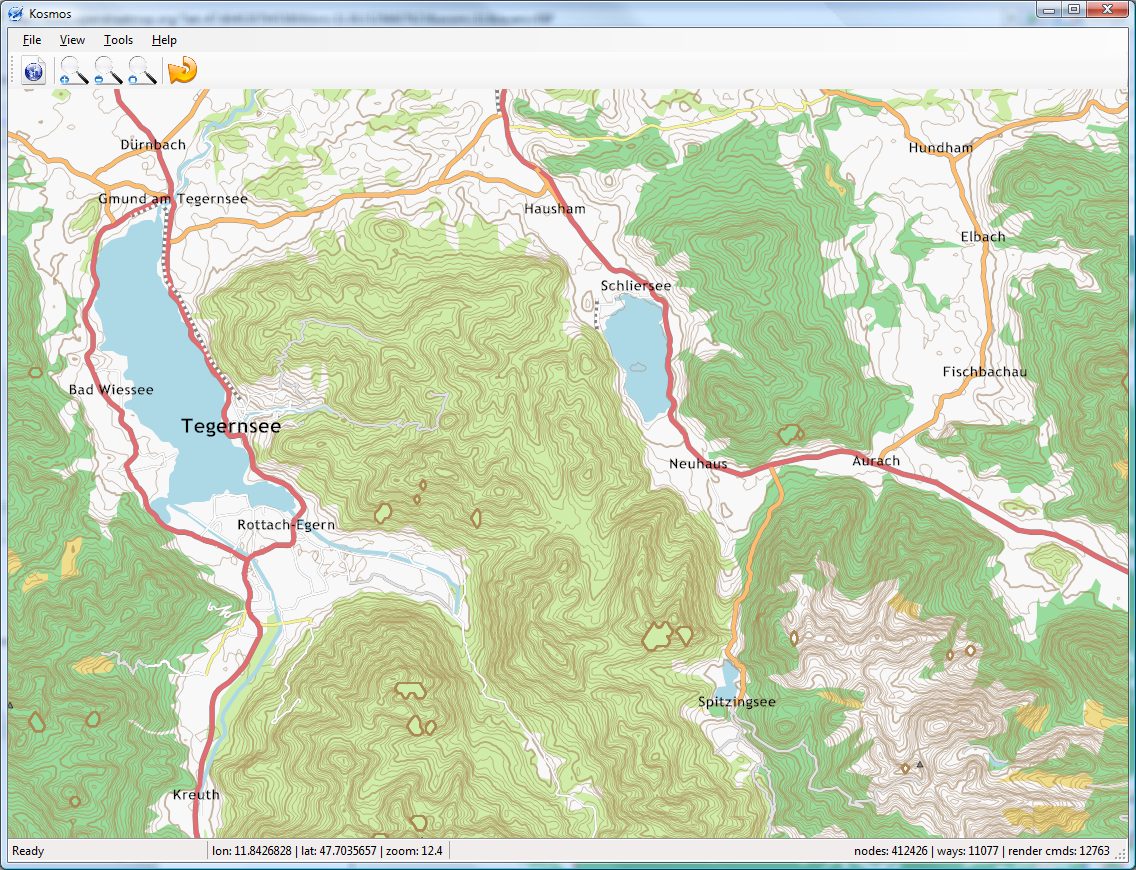
| 17:47, 4 January 2008 | Kosmos Tegernsee Sample.png (file) |  |
928 KB | Screenshot containing a sample of a relief map around [http://www.openstreetmap.org/?lat=47.696&lon=11.942&zoom=11&layers=B0FT Tegernsee] generated with the new map rendering engine Kosmos. Contours were generated using the Srtm2Osm tool from the | 1 |
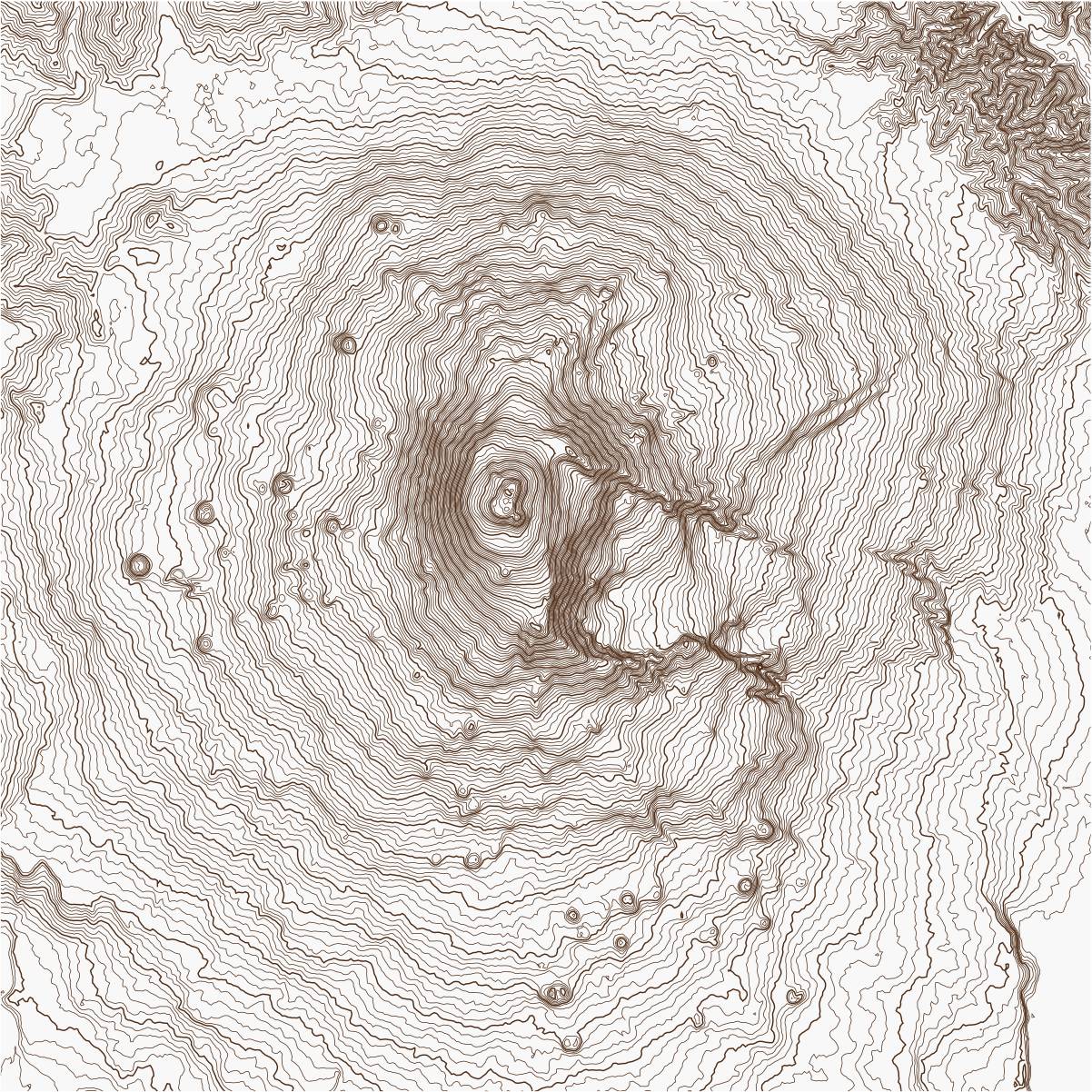
| 10:41, 31 October 2007 | Etna Contours.jpg (file) |  |
521 KB | A relief image of Mount Etna created by the Srtm2Osm tool. | 1 |
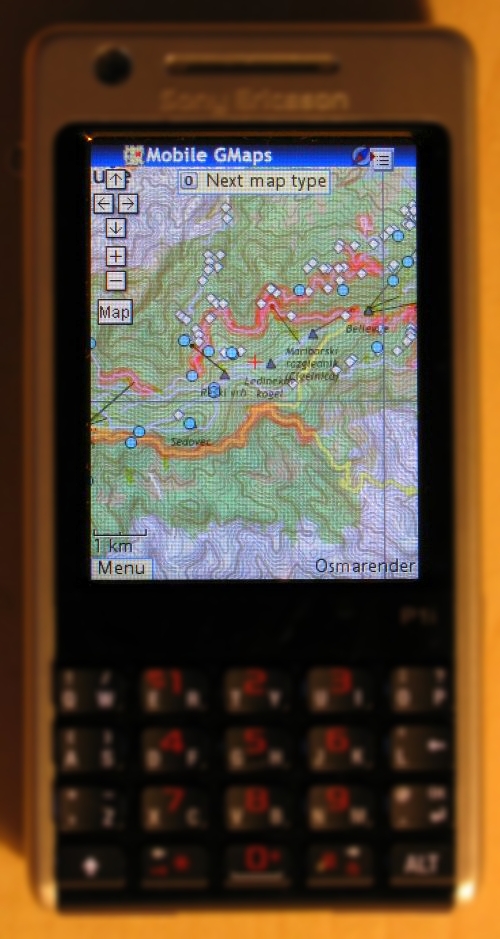
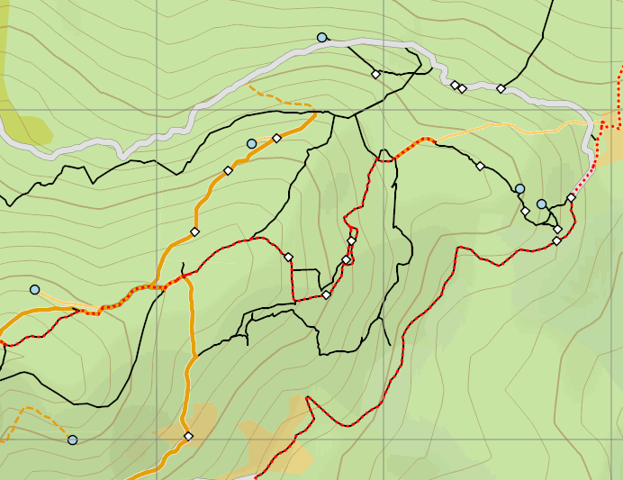
| 19:21, 14 October 2007 | Pohorje Contours Detail.jpg (file) |  |
423 KB | An example of using Osmarender to render OSM data together with the elevation contours generated by the Srtm2Osm tool. | 1 |
| 19:19, 14 October 2007 | Pohorje Contours.jpg (file) |  |
569 KB | An example of using Osmarender to render OSM data together with the elevation contours generated by the [Srtm2Osm] tool. | 1 |
| 20:58, 8 October 2007 | Contours2.jpg (file) |  |
148 KB | An zoomed-in example of elevation contours generated by a tool from SRTM data and rendered using standalone Osmarender XSLT rendering. The thicker lines represent 100's of meters, thinner lines are 20's. | 3 |
| 20:46, 8 October 2007 | Contours1.jpg (file) |  |
148 KB | An example of elevation contours generated by a tool from SRTM data and rendered using standalone Osmarender XSLT rendering. The area covered is around Maribor, Slovenia. | 1 |
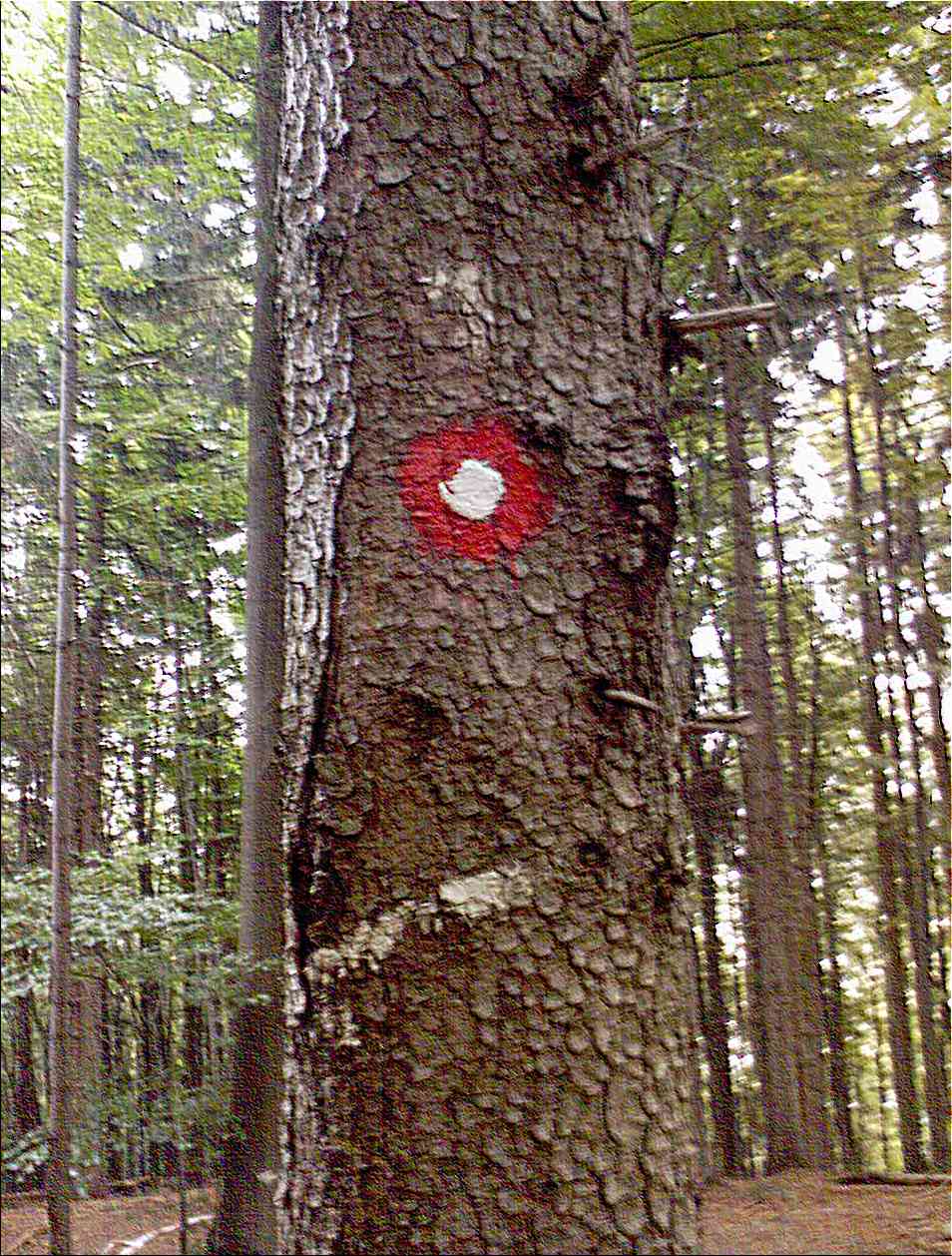
| 06:21, 6 October 2007 | Knafelčeva markacija.jpg (file) |  |
198 KB | 1 | |
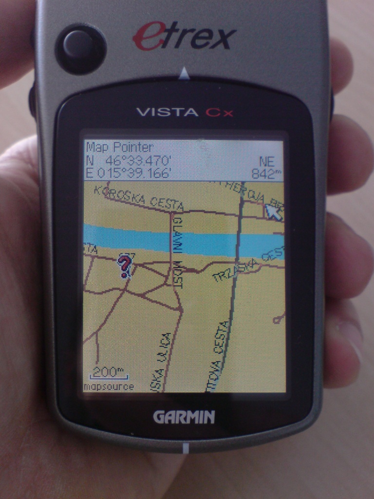
| 20:18, 30 September 2007 | GarminMB.JPG (file) |  |
263 KB | Maribor (Slovenia) OSM data on Garmin eTrex Vista CX | 1 |
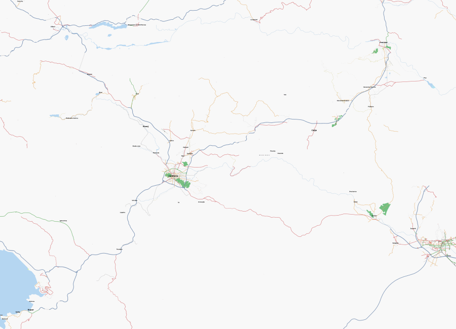
| 18:35, 30 September 2007 | Slovenia-2007-09-30.png (file) |  |
111 KB | 1 | |
| 09:57, 16 September 2007 | MariborOSM.png (file) |  |
136 KB | 1 |