Surrey Hills Mapping Party
What

A mapping party in the Shere, Abinger, Peaslake area of the Surrey Hills on Sunday 25th September 2011.
The last OpenStreetMap.org Surrey Hills mapping party was five years ago in 2006. It's time to fill in so bits that we missed that time and add lots more detail.
There are very few parts of Surrey that are not well mapped now. This small area nestled between the North Downs and Leith Hill is one that still has a few incompletely tagged roads. So the plan is to soak up some of the last days of the summer by filling in the gaps.
The mapping party is free and open to everyone.
Where
The William Bray Pub in Shere (map). Starting at 10:30am until whenever.
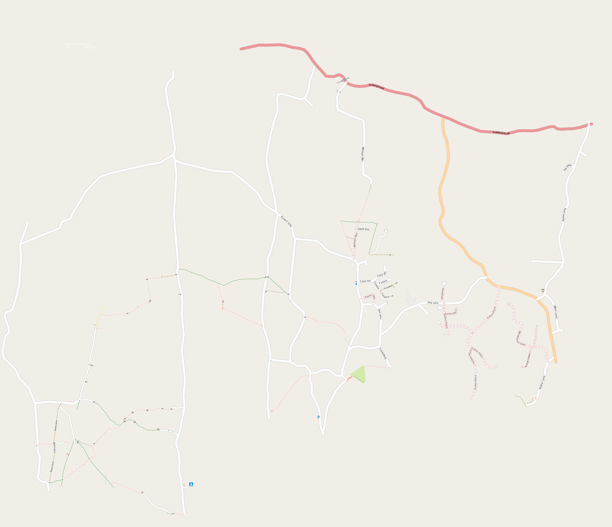
The mapping party area will cover the villages of Shere, Gomshall, Peaslake, Abinger, Abinger Hammer and Sutton Abinger, plus footpaths etc of the surrounding countryside. Map.
Cake

- A - Albury
- B - Shere and Gomshall
- C - Abinger Hammer
- D - Sutton Abinger
- E - Peaslake
- F - Farley Green
Results

The party participants agreed to share the final data as CC0.