TIGER fixup/Over Connectedness
This is a short how-to on fixing overconnectedness in TIGER data. Screenshots show the old Potlatch 1 editor, but similar actions can be carried out in other editors
Background
In the original TIGER data, there is no sense of whether one road is connected to another - it just wasn't useful for their purposes. So the importer that was written for OpenStreetMap had to try to figure out where to connect roads. Easier said than done, since many roads didn't quite meet each other. So to get a normal residential grid of roads, every time two roads crossed a node was added to join them.
Unfortunately, that logic doesn't hold well in situations where the roads are grade separated, like on freeways. This leads to situations where a routing algorithm tells you to turn left ahead - where that would involve either jumping down off a bridge or climbing up onto an overpass!
Example
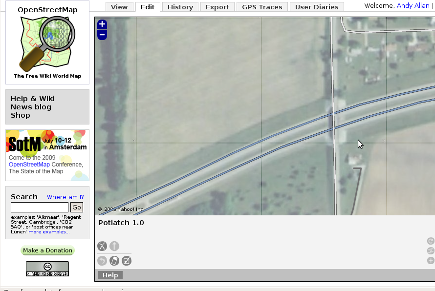
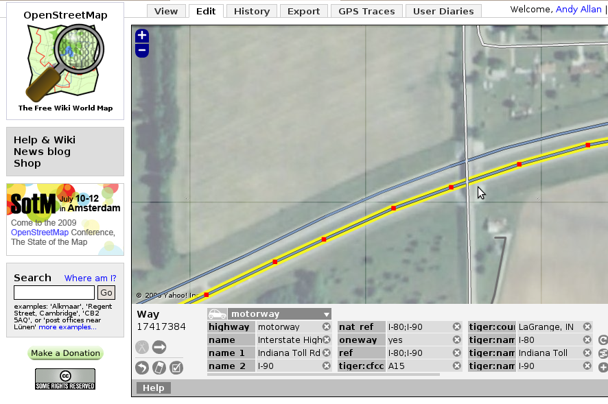
Take this freeway crossing a residential road. You can make out on the aerial imagery that there's a bridge involved (and it would be unlikely to find a crossroads on a freeway anyway).
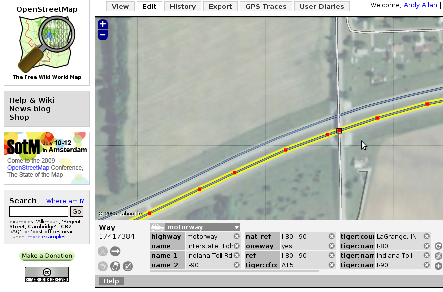
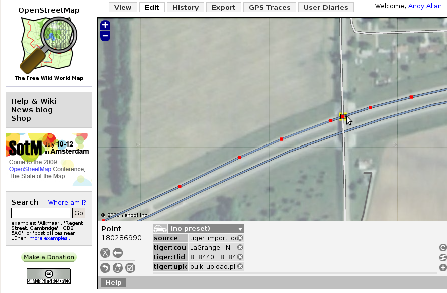
but the OSM data has an intersection node - see the black box around it.
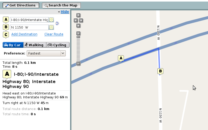
This means that a routing algorithm could take you from the freeway to the other road by thinking there's a junction there.
Fixup
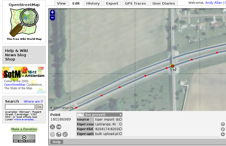
Select the freeway, and then the intersection node.
Now press delete, and it disappears.
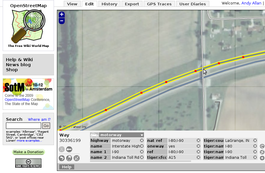
Do the same for the other carriageway
And you're done! It's really very simple, but is so useful to improve routing for people using OpenStreetMap.
