Template:Featured image d1
Jump to navigation
Jump to search
Week 1 (from Monday 4 January 2016 to Sunday 10 January 2016) [Edit]

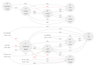
- English : How do amenity tags change? A detailed analysis by Matias Dahl involved mining the Planet.osm/full history dumps to produce diagrams like this revealing internal relationships between the tags.
Week 2 (from Monday 11 January 2016 to Sunday 17 January 2016) [Edit]
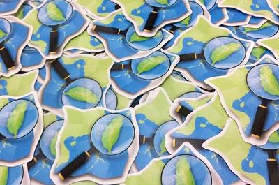
- English : Stickers of OpenStreetMap Taiwan logo for Participants of the Kaohsiung Meetup, which occurred in the Southern port city in Taiwan.
Week 3 (from Monday 18 January 2016 to Sunday 24 January 2016) [Edit]
.jpg)
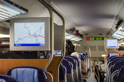
- English : OpenStreetMap in an IC2 carriage (Deutsche Bahn). The map shows the current location of the train and highlights the stations.
Week 4 (from Monday 25 January 2016 to Sunday 31 January 2016) [Edit]

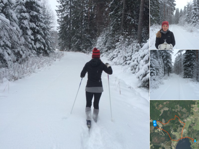
- English : “We won‘t let the snow stop us!” The folks at swedish design firm geoshepherds, have been out mapping on their cross-country skis!
Week 5 (from Monday 1 February 2016 to Sunday 7 February 2016) [Edit]

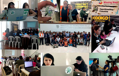
- English : Last month mappers gathered in Bogota, for an OpenStreetMap Colombia/Missing Maps Project event to help put the Wayuu people on the map, by mapping details of the "La Guajira" peninsula. Read more on the OpenStreetMap Colombia blog.
Week 6 (from Monday 8 February 2016 to Sunday 14 February 2016) [Edit]

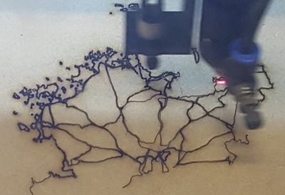
- English : The FabLab Lannion laser cutting machine, making a map of the roads of Lannion-Tregor Communauté, northern France (here).
Week 7 (from Monday 15 February 2016 to Sunday 21 February 2016) [Edit]

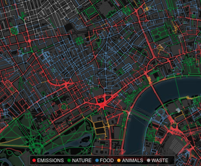
- English : SmellyMaps. Mapping different types of smell (based on flickr tags & tweets) as different colours on the OpenStreetMap road network.
Week 8 (from Monday 22 February 2016 to Sunday 28 February 2016) [Edit]

- English : Tandale in Dar Es Salaam, Tanzania, has been mapped in dense detail since 2009. Recently the Ramani Huria project involved local people and UAV imagery, updating reflecting flood changes, and adding even more local details (see the mapsee the map).
Week 9 (from Monday 29 February 2016 to Sunday 6 March 2016) [Edit]

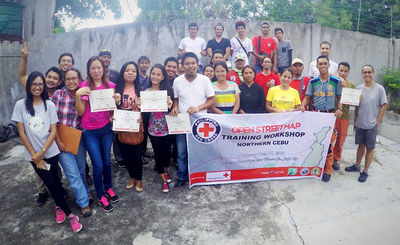
- English : The Philippine Red Cross (PRC) and the Croix-Rouge Française hosted a 3-day OpenStreetMap workshop in Bogo, Cebu, as part of their Northern Cebu Risk Mapping project. Read more here.
Week 10 (from Monday 7 March 2016 to Sunday 13 March 2016) [Edit]

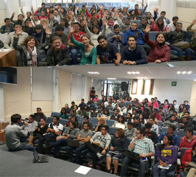
- English : Conference organised by the Mexico OpenStreetMap community in the campus of the Universidad Autónoma del Estado de México in Toluca.
Week 11 (from Monday 14 March 2016 to Sunday 20 March 2016) [Edit]

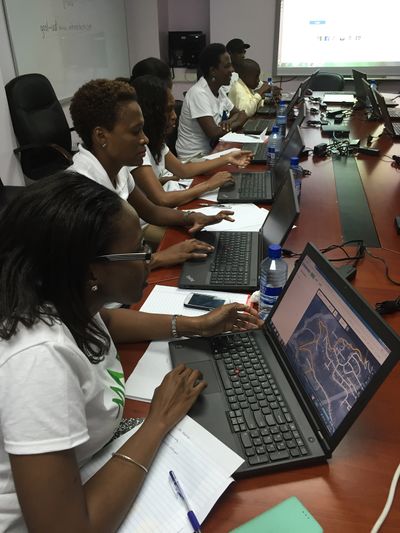
- English : New mappers at #mapsaintlucia, the first national mapathon in Saint Lucia.
Week 12 (from Monday 21 March 2016 to Sunday 27 March 2016) [Edit]

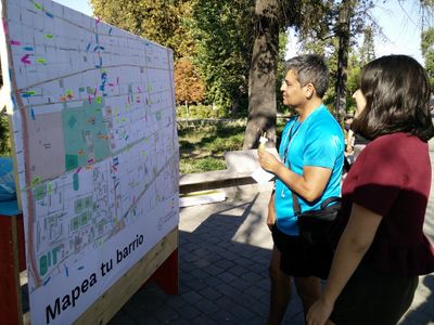
- English : For OpenDataDay 2016 in Santiago, Chile they asked passers-by in a public square to put sticky notes over a big printed OpenStreetMap map. Read more on this OKFN blog post.
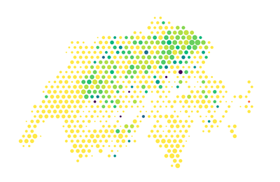
Week 13 (from Monday 28 March 2016 to Sunday 3 April 2016) [Edit]

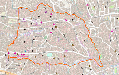
- English : Distribution of place names containing “berg” (German for “mountain”) in Switzerland. Try out your own place names query to visualise geographic distribution using Chris Roth’s Places tool.
This 'internal template does not require itself any translation/internationalization. The rendering above is only for testing and validating it with a default year.