Template:Featured image p2
Jump to navigation
Jump to search


These are featured images, which have been identified as the best examples of OpenStreetMap mapping, or as useful illustrations of the OpenStreetMap project.
If you know another image of similar quality, you can nominate it on Featured image proposals.
| ← April to June 2010 | ← January to March 2011 | July to September 2011 → | April to June 2012 → |
Gallery of featured images, from April to June 2011
2011, week 14

2011, week 15
2011, week 16

2011, week 17

2011, week 18

2011, week 19
2011, week 20

2011, week 21

2011, week 22
2011, week 23

2011, week 24

2011, week 25

2011, week 26
Details and captions
Week 14 (from Monday 4 April 2011 to Sunday 10 April 2011) [Edit]

Week 15 (from Monday 11 April 2011 to Sunday 17 April 2011) [Edit]

Week 16 (from Monday 18 April 2011 to Sunday 24 April 2011) [Edit]

Week 17 (from Monday 25 April 2011 to Sunday 1 May 2011) [Edit]

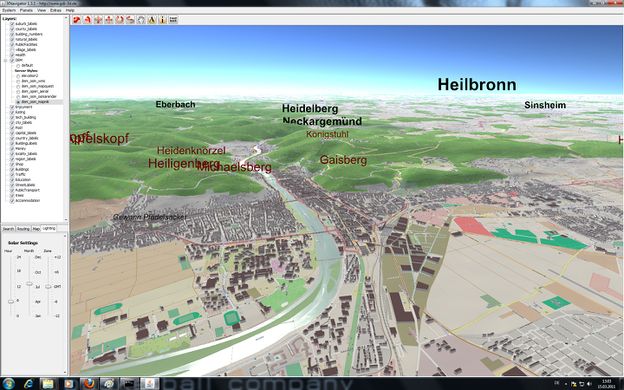
- English : OpenWhateverMap allows viewing a variety of map styles simultaneously, since April 1st
Week 18 (from Monday 2 May 2011 to Sunday 8 May 2011) [Edit]

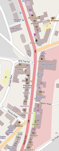
- English : Locations in the British news this week: Stokes Croft, The Mall, Kelvingrove Park
Week 19 (from Monday 9 May 2011 to Sunday 15 May 2011) [Edit]

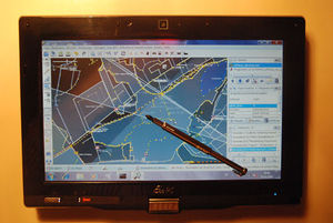
- English : Testing JOSM on a touch-screen Asus tablet
Week 20 (from Monday 16 May 2011 to Sunday 22 May 2011) [Edit]

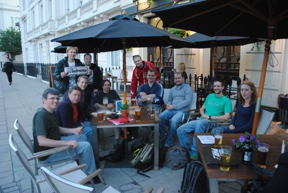
- English : London/Summer 2011 mapping parties are a sequence of social meet-ups on week-day evenings which may possibly include some mapping.
Week 21 (from Monday 23 May 2011 to Sunday 29 May 2011) [Edit]

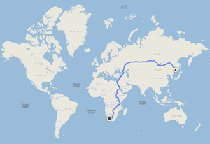
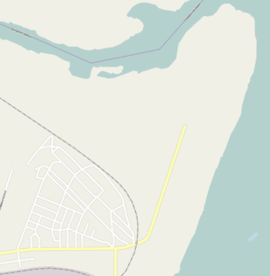
- English : 23448 km from Vladivostok to South Africa. 301 hrs by car. Probably the longest routing available on any public routing engine. From Cloudmade with OSM data.
Week 22 (from Monday 30 May 2011 to Sunday 5 June 2011) [Edit]

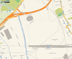
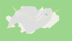
- English : Olympic sites starting to appear on the map as the buildings are completed
Week 23 (from Monday 6 June 2011 to Sunday 12 June 2011) [Edit]

- English : Animation of mapping Shevchenko village and Pivnichnjy residential area in Dnipropetrovsk
Week 24 (from Monday 13 June 2011 to Sunday 19 June 2011) [Edit]

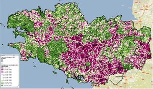
- English : Comparison against IGN's BD Topo maps of Brittany: Green areas mean OSM has more than half the roads mapped.
Week 25 (from Monday 20 June 2011 to Sunday 26 June 2011) [Edit]

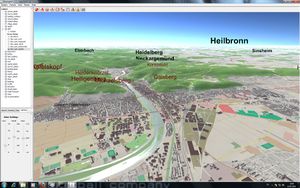
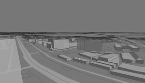
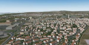
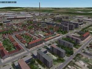
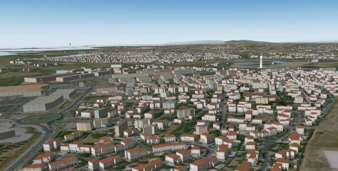
- English : The XHouseT project allows users to use a set of JOSM presets to edit building details, then render OSM data as X-Plane scenery.
Week 26 (from Monday 27 June 2011 to Sunday 3 July 2011) [Edit]

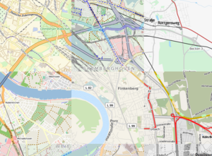
- English : Animation showing progress of Jaén_Mapping_Party [1] (over 100 people 3h. survey. Organized with Spanish Public Administrations: Diputación de Jaén, Ayuntamiento Baeza, IDEJaén, CNIG, Junta de Andalucía, Universidad de Jaén...)
Deprecated, this has been split into Template:Featured image h2 and Template:Featured image d2 for performance reason on this wiki.