User:Pbsouthwood
Jump to navigation
Jump to search
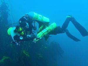
User:Pbsouthwood on Wikivoyage and Wikipedia. I am a surveyor and mapper of dive sites around Cape Town using GPS tracks along depth contours. Does anyone else do this?
I hope to get the maps onto OSM somehow, but at present have no idea of how to start. Suggestions welcome on my talk page.
See my maps at Wikimedia Commons

