Wolverhampton
| V・T・E |
| latitude: 52.585, longitude: -2.127 |
| Browse map of Wolverhampton 52°35′06.00″ N, 2°07′37.20″ W |
| Edit map |
|
| External links: |
| Use this template for your locality |
Wolverhampton is a metropolitan borough and city in West Midlands (county) at latitude 52°35′06.00″ North, longitude 2°07′37.20″ West.

Progress
See the cake diagrams and completion table here, which covers Wolverhampton along with other parts of the Black Country.
Possible errors/thing needing verification
Feel free to report anything you notice that is wrong or incomplete. This should help those able to do so to check and improve relevant sections.
- National Cycle Route 81 passes through the city (relation 90999 90999
 90999), but is rather incomplete. The Sustrans site suggests it cuts across the playing field at Newbridge, but the signs on the bit I added at the weekend indicate it goes along Crowther Road then left into Hordern Road instead. --EdLoach 11:31, 11 March 2009 (UTC)
Meetings
30th Jan 2008 - Wolves LUG mapping event
Several Wolves LUG members got together to map the city centre inside the ringroad.
Progress:
- Tom & James T.: south/west of Darlington/Victoria/Worcester street
- Roads around 90-98% recorded and ~80% tagged. Restrictions (oneway, max speed, etc) need verification.
Scans of Pages:
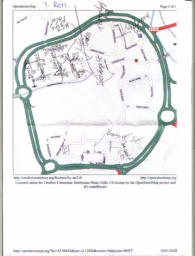
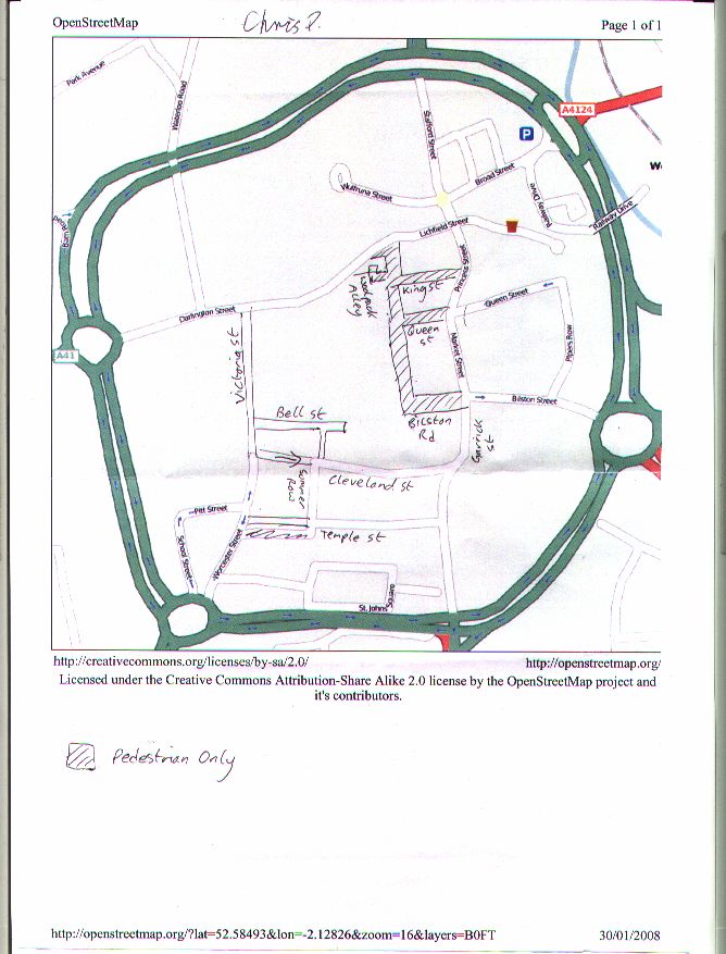
20th July 2008 - LUGRadio Live One Hour Micro-Map
At the end of LUGRadio Live, twelve people went out to map as much as they could between 17:00 and 18:00. Three people in cars, one on bike, the rest walked. Areas concentrated on were just outside the ringroad, although some surveyed where there were known to be errors inside the ringroad. See the traces.
Map of Wolverhampton

Active users
See the Mappa_Mercia page to find out what's being mapped in the Wolverhampton area. Join the Mappa Mercia OSM user group today!
Feel free to add yourself to this list if you are active in or near Wolverhampton:
- Ron Wellsted - Lives in Wolverhampton.
- Higgy - Actually lives in Smethwick but visits Wolverhampton occasionally.
- EdLoach - Actually lives in Essex, but visits family in Wolverhampton occasionally and usually gets a couple of hours mapping in...