File:Maybecycleway.jpg
Jump to navigation
Jump to search

No higher resolution available.
Maybecycleway.jpg (500 × 404 pixels, file size: 35 KB, MIME type: image/jpeg)
Location 52.14033, -0.36778,
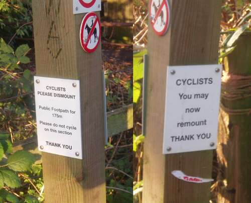
Two sides of a sign on the national cycle route from Bedford to Sandy near Willington, where a footpath forms part of the long-distance cycle route
File history
Click on a date/time to view the file as it appeared at that time.
| Date/Time | Thumbnail | Dimensions | User | Comment | |
|---|---|---|---|---|---|
| current | 13:40, 3 December 2006 | | 500 × 404 (35 KB) | Ojw (talk | contribs) |
You cannot overwrite this file.
File usage
There are no pages that use this file.