File:Claremont.png
Jump to navigation
Jump to search

Size of this preview: 800 × 562 pixels. Other resolutions: 320 × 225 pixels | 640 × 449 pixels | 1,024 × 719 pixels | 1,115 × 783 pixels.
Original file (1,115 × 783 pixels, file size: 628 KB, MIME type: image/png)
osmarender of Claremont, Cape Town
![]()
Contains map data © OpenStreetMap contributors, made available under the terms of the Creative Commons Attribution-ShareAlike 2.0 (CC-BY-SA-2.0).
File history
Click on a date/time to view the file as it appeared at that time.
| Date/Time | Thumbnail | Dimensions | User | Comment | |
|---|---|---|---|---|---|
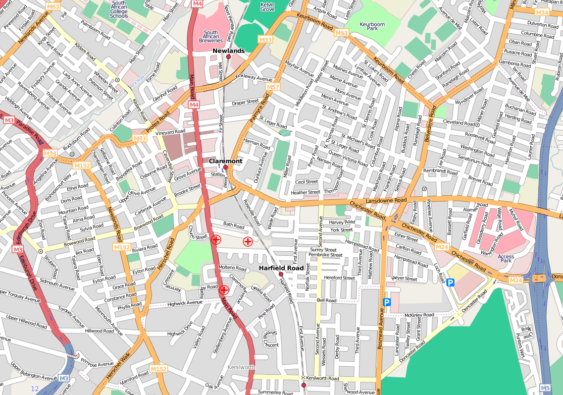
| current | 17:23, 7 October 2008 | | 1,115 × 783 (628 KB) | Htonl (talk | contribs) | updated map |
| 10:40, 27 April 2008 | 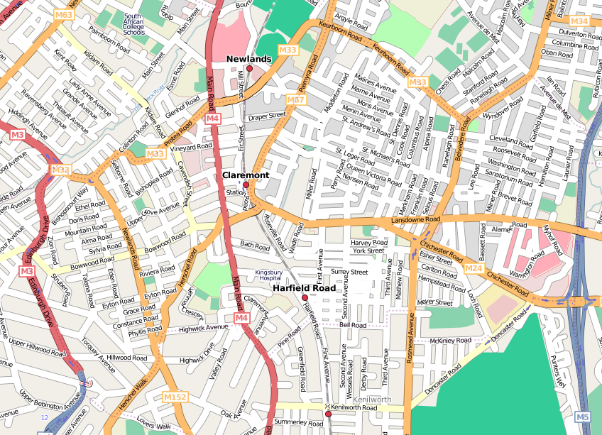 | 848 × 613 (438 KB) | Htonl (talk | contribs) | update | |
| 20:02, 5 November 2007 | 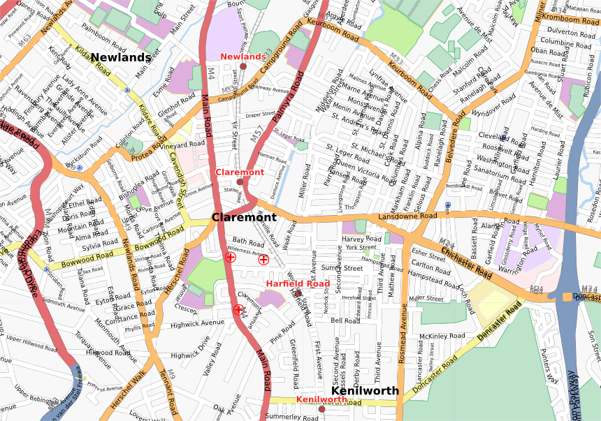 | 860 × 603 (606 KB) | Htonl (talk | contribs) | update | |
| 02:26, 14 September 2007 | 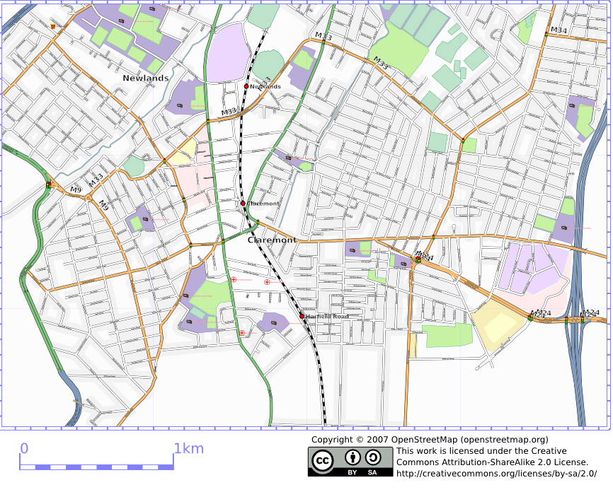 | 866 × 696 (529 KB) | Htonl (talk | contribs) | osmarender of Claremont, Cape Town |
You cannot overwrite this file.
File usage
The following page uses this file: