File:Map-600.png
Jump to navigation
Jump to search


Size of this preview: 495 × 599 pixels. Other resolutions: 198 × 240 pixels | 600 × 726 pixels.
Original file (600 × 726 pixels, file size: 1.67 MB, MIME type: image/png)
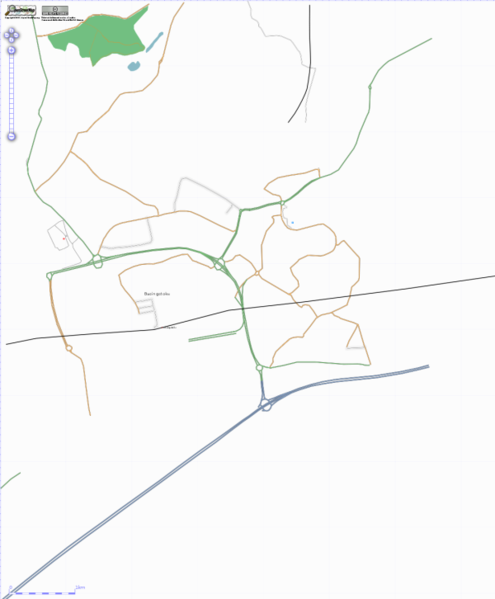
Basingstoke town with some surrounding areas in the north. Far from complete.
![]()
Contains map data © OpenStreetMap contributors, made available under the terms of the Creative Commons Attribution-ShareAlike 2.0 (CC-BY-SA-2.0).
File history
Click on a date/time to view the file as it appeared at that time.
| Date/Time | Thumbnail | Dimensions | User | Comment | |
|---|---|---|---|---|---|
| current | 10:43, 30 December 2006 | | 600 × 726 (1.67 MB) | Kabads (talk | contribs) | Basingstoke town with some surrounding areas in the north. Far from complete. |
You cannot overwrite this file.
File usage
The following page uses this file: