File:0182jfNationwide Simultaneous Earthquake Drill Philippinesfvf 31.jpg
Jump to navigation
Jump to search


Size of this preview: 800 × 600 pixels. Other resolutions: 320 × 240 pixels | 640 × 480 pixels | 1,024 × 768 pixels | 1,280 × 960 pixels | 2,560 × 1,920 pixels | 4,608 × 3,456 pixels.
Original file (4,608 × 3,456 pixels, file size: 6.57 MB, MIME type: image/jpeg)
This file and its description are from Wikimedia Commons.
Summary
| Description |
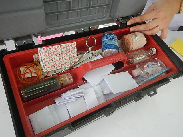
English: Nationwide Simultaneous Earthquake Drill (NSED - SM City Baliwag, Bulacan) Earthquake
preparedness Earthquake drill Earthquake drills (SM City Baliwag, Bulacan) LGUs urged to join earthquake drill Nationwide Simultaneous Earthquake Drill (NSED) NSED is a National Disaster Risk Reduction and Management Council (NDRRMC)-led activity in Barangay Pagala 14°58'14"N 120°53'26"E Baliuag, Bulacan, Bulacan province, (accessed from Cagayan Valley Road, Baliuag-Pulilan-Guiguinto, Bulacan) Pan-Philippine Highway, also known as the Maharlika "Nobility/freeman" Highway or Asian Highway 26, Cagayan Valley Road (Note: Judge Florentino Floro, the owner, to repeat, Donor Florentino Floro of all these photos hereby donate gratuitously, freely and unconditionally all these photos to and for Wikimedia Commons, exclusively, for public use of the public domain, and again without any condition whatsoever). |
| Date | |
| Source | Own work |
| Author | Judgefloro |
| Camera location | | View this and other nearby images on: OpenStreetMap |
|---|
Pagala 14°58'14"N 120°53'26"E
Licensing
I, the copyright holder of this work, hereby publish it under the following license:
| This file is made available under the Creative Commons CC0 1.0 Universal Public Domain Dedication. | |
| The person who associated a work with this deed has dedicated the work to the public domain by waiving all of their rights to the work worldwide under copyright law, including all related and neighboring rights, to the extent allowed by law. You can copy, modify, distribute and perform the work, even for commercial purposes, all without asking permission.
|
File history
Click on a date/time to view the file as it appeared at that time.
| Date/Time | Thumbnail | Dimensions | User | Comment | |
|---|---|---|---|---|---|
| current | 15:52, 29 June 2017 | | 4,608 × 3,456 (6.57 MB) | wikimediacommons>Judgefloro | User created page with UploadWizard |
File usage
The following 5 pages use this file: