File:20081114 geofabric anim pirna-landsat 1597.gif
Jump to navigation
Jump to search

Size of this preview: 561 × 600 pixels. Other resolutions: 225 × 240 pixels | 449 × 480 pixels | 640 × 684 pixels.
Original file (640 × 684 pixels, file size: 343 KB, MIME type: image/gif, looped, 32 frames, 32 s)
Note: Due to technical limitations, thumbnails of high resolution GIF images such as this one will not be animated.
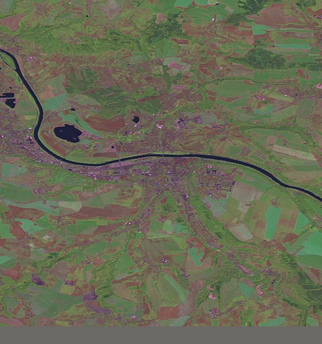
local OSM development visualized by node creation over time, animated image produced by http://labs.geofabrik.de/history/, landsat image background
![]()
Contains map data © OpenStreetMap contributors, made available under the terms of the Creative Commons Attribution-ShareAlike 2.0 (CC-BY-SA-2.0).
landsat is public domain as work of federal government of USA
File history
Click on a date/time to view the file as it appeared at that time.
| Date/Time | Thumbnail | Dimensions | User | Comment | |
|---|---|---|---|---|---|
| current | 02:19, 15 November 2008 | | 640 × 684 (343 KB) | Hasienda (talk | contribs) | local OSM development visualized by node creation over time, animated image produced by http://labs.geofabrik.de/history/, landsat image background |
You cannot overwrite this file.
File usage
The following 2 pages use this file: