File:20230526 Nutzung der OpenData-Produkte der Bayer. Vermessungsverwaltung.pdf
Jump to navigation
Jump to search
 Size of this JPG preview of this PDF file: 424 × 600 pixels. Other resolutions: 170 × 240 pixels | 339 × 480 pixels | 543 × 768 pixels | 1,239 × 1,752 pixels. |
Original file (1,239 × 1,752 pixels, file size: 339 KB, MIME type: application/pdf, 2 pages)
Summary
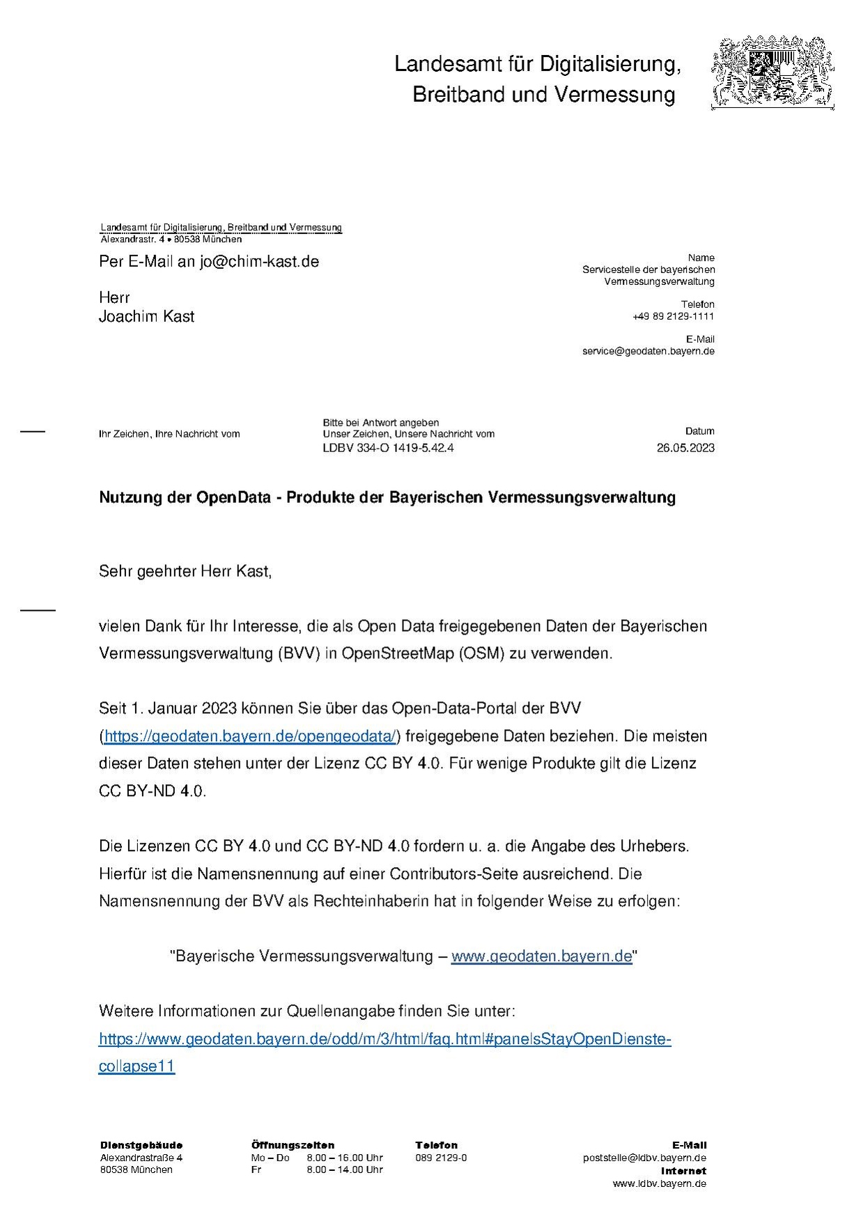
| Description | Nitzungserlaubnis OpenData-Produkte der Bayerischen Vermessungsverwaltung |
|---|---|
| Author | Landesamt für Digitalisierung, Breitband und Vermessung (Bayern) |
| Source | Landesamt für Digitalisierung, Breitband und Vermessung (Bayern) |
| Date | 2023-05-26 |
Licensing
![]()
![]()
This file is made available under the Creative Commons CC0 1.0 Universal Public Domain Dedication.
The person who associated a work with this deed has dedicated the work to the public domain by waiving all of his or her rights to the work worldwide under copyright law, including all related and neighboring rights, to the extent allowed by law. You can copy, modify, distribute and perform the work, even for commercial purposes, all without asking permission.
File history
Click on a date/time to view the file as it appeared at that time.
| Date/Time | Thumbnail | Dimensions | User | Comment | |
|---|---|---|---|---|---|
| current | 21:18, 26 May 2023 |  | 1,239 × 1,752, 2 pages (339 KB) | DD1GJ (talk | contribs) | {{Information | description=Nitzungserlaubnis OpenData-Produkte der Bayerischen Vermessungsverwaltung | source=Landesamt für Digitalisierung, Breitband und Vermessung (Bayern) | date=2023-05-26 | author=Landesamt für Digitalisierung, Breitband und Vermessung (Bayern) | other_versions= }} |
You cannot overwrite this file.
File usage
There are no pages that use this file.