File:4. Abenteuertage Glauchau - GPS-Workshop.jpg
Jump to navigation
Jump to search


Size of this preview: 800 × 535 pixels. Other resolutions: 320 × 214 pixels | 640 × 428 pixels | 1,024 × 685 pixels | 1,280 × 856 pixels | 2,400 × 1,605 pixels.
Original file (2,400 × 1,605 pixels, file size: 1.91 MB, MIME type: image/jpeg)
Summary
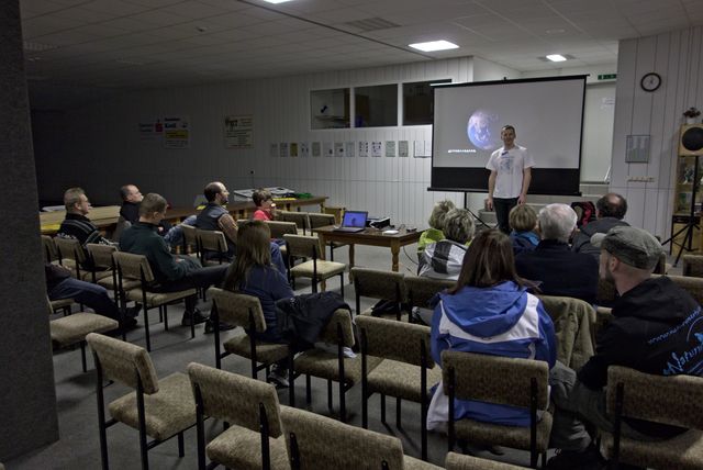
Der GPS-Workshop bei den Vierten Abenteuertagen in Glauchau. Als "Gegenleistung" gab es die Möglichkeit, einen OSM-Stand zu platzieren. (original name dscRX004070.jpg)
Licensing
![]()
![]()
![]()
This work is licensed under the Creative Commons Attribution-ShareAlike 2.0 License.
Attribution not specified as a parameter! THIS LICENSE ALWAYS REQUIRES ATTRIBUTION! Use {{CC-BY-SA-2.0|Attribution, typically name of author}} See Template:CC-BY-SA-2.0 for full description how this template should be used.
Note, there is
There is also
Attribution not specified as a parameter! THIS LICENSE ALWAYS REQUIRES ATTRIBUTION! Use {{CC-BY-SA-2.0|Attribution, typically name of author}} See Template:CC-BY-SA-2.0 for full description how this template should be used.
Note, there is
{{CC-BY-SA-2.0 OpenStreetMap}} for files based on old OSM map data, before the license change made on 2012-09-12.There is also
{{OSM Carto screenshot||old_license}} for files based on old OSM map data, before the license change made on 2012-09-12, created using OSM Carto map style.
File history
Click on a date/time to view the file as it appeared at that time.
| Date/Time | Thumbnail | Dimensions | User | Comment | |
|---|---|---|---|---|---|
| current | 18:54, 4 March 2013 | | 2,400 × 1,605 (1.91 MB) | Malenki (talk | contribs) | Der GPS-Workshop bei den Vierten Abenteuertagen in Glauchau. Als "Gegenleistung" gab es die Möglichkeit, einen OSM-Stand zu platzieren. (original name dscRX004070.jpg) |
You cannot overwrite this file.
File usage
There are no pages that use this file.