File:Accuracy - existing data vs new data.png
Jump to navigation
Jump to search


Size of this preview: 800 × 506 pixels. Other resolutions: 320 × 202 pixels | 640 × 405 pixels | 1,024 × 648 pixels | 1,280 × 810 pixels | 2,352 × 1,488 pixels.
Original file (2,352 × 1,488 pixels, file size: 776 KB, MIME type: image/png)
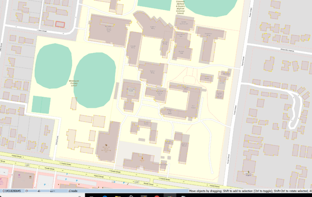
Data in openstreetmap vs new data
![]()
This file is a screenshot of the software JOSM, with imagery in background. It may include OpenStreetMap data, in such case ODbL license also applies.
![]()
"JOSM" (Java OpenStreetMap Editor – josm.openstreetmap.de) is free software released under the terms of the GNU General Public License as published by the Free Software Foundation; either version 2 of the license, or any later version.
Imagery in background: This screenshot contains OSM Carto rendering. Map style itself is licensed under Creative Commons CC-0 1.0 Universal Public Domain Dedication.
| Contains map data © OpenStreetMap contributors, made available under the terms of the Open Database License (ODbL).
The ODbL does not require any particular license for maps produced from ODbL data, produced maps may be subject also to other licences. |
File history
Click on a date/time to view the file as it appeared at that time.
| Date/Time | Thumbnail | Dimensions | User | Comment | |
|---|---|---|---|---|---|
| current | 18:13, 23 December 2018 | | 2,352 × 1,488 (776 KB) | CloCkWeRX (talk | contribs) |
You cannot overwrite this file.
File usage
The following 2 pages use this file: