File:Agro2017 geohash-6ujg8.jpg
Jump to navigation
Jump to search

No higher resolution available.
Agro2017_geohash-6ujg8.jpg (538 × 357 pixels, file size: 159 KB, MIME type: image/jpeg)
Summary
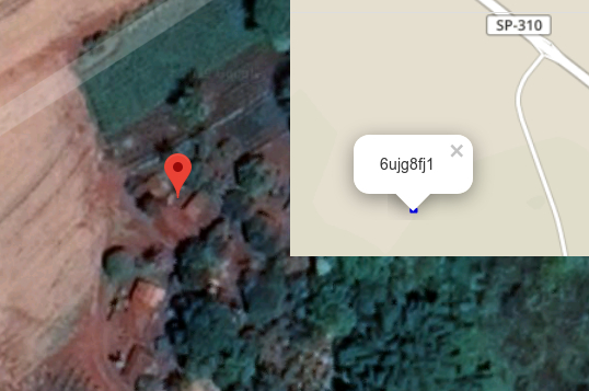
amostra importação, detalhe de ponto com duplicação de registros
Licensing
![]()
This file has been released into the public domain by the copyright holder, its copyright has expired, or it is ineligible for copyright. This applies worldwide.
Please, please use more specific template such as {{PD-self}} / {{PD-creator}} / {{PD-shape}} / {{PD-USGov}} / {{PD-old}} / {{PD-RU-exempt}} ... This template is not making clear why this work is in the public domain.
Please, please use more specific template such as {{PD-self}} / {{PD-creator}} / {{PD-shape}} / {{PD-USGov}} / {{PD-old}} / {{PD-RU-exempt}} ... This template is not making clear why this work is in the public domain.
![]()
It has been proposed that this page be deleted or replaced by a redirect. See the discussion page for further information.
The given reason is: Really own work for aerial image? What is the source of imagery here? Note https://commons.wikimedia.org/wiki/File:Agro2017-geohash-6ujg8.jpg where uploader claimed "own work" on CC-BY-SA 4.0 license. https://commons.wikimedia.org/wiki/Commons:Deletion_requests/File:Agro2017-geohash-6ujg8.jpg concluded with deletion, file is used on a wiki page.
The given reason is: Really own work for aerial image? What is the source of imagery here? Note https://commons.wikimedia.org/wiki/File:Agro2017-geohash-6ujg8.jpg where uploader claimed "own work" on CC-BY-SA 4.0 license. https://commons.wikimedia.org/wiki/Commons:Deletion_requests/File:Agro2017-geohash-6ujg8.jpg concluded with deletion, file is used on a wiki page.
File history
Click on a date/time to view the file as it appeared at that time.
| Date/Time | Thumbnail | Dimensions | User | Comment | |
|---|---|---|---|---|---|
| current | 23:20, 6 April 2019 | | 538 × 357 (159 KB) | Krauss (talk | contribs) | amostra importação, detalhe de ponto com duplicação de registros |
You cannot overwrite this file.
File usage
The following page uses this file: