File:Alminav kartenabschnitte.png
Jump to navigation
Jump to search
Size of this preview: 337 × 600 pixels. Other resolutions: 135 × 240 pixels | 480 × 854 pixels.
Original file (480 × 854 pixels, file size: 518 KB, MIME type: image/png)
Summary
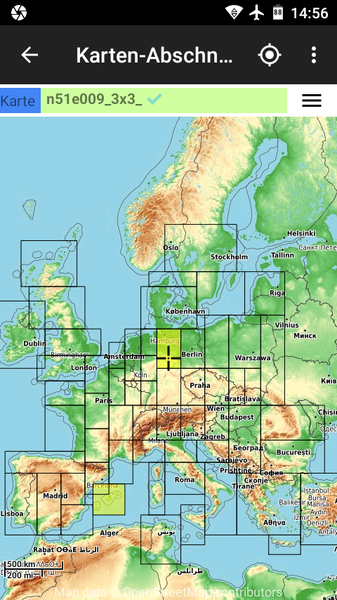
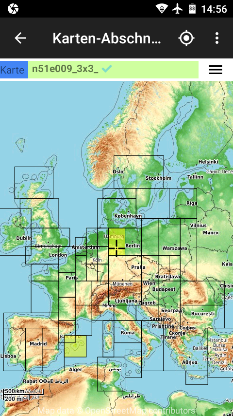
Abdeckung durch Kartenabschnitte
Licensing
![]()
I, the creator of this work, hereby release it into the public domain. This applies worldwide.
In case this is not legally possible, I grant anyone the right to use this work for any purpose, without any conditions, unless such conditions are required by law.
Notice to creator or uploader: Please consider using {{CC0-self}} instead for your work.
"Releasing work to public domain" has some issues, as it is not well defined in some jurisdictions and/or it is not actually possible to "release to public domain". Using CC0 license achieves the intended effect while avoiding such problems and is well suited for media files.
File history
Click on a date/time to view the file as it appeared at that time.
| Date/Time | Thumbnail | Dimensions | User | Comment | |
|---|---|---|---|---|---|
| current | 13:58, 20 February 2020 | | 480 × 854 (518 KB) | Almica (talk | contribs) | |
| 13:49, 21 November 2018 |  | 480 × 854 (47 KB) | Almica (talk | contribs) | ||
| 12:32, 5 April 2018 | 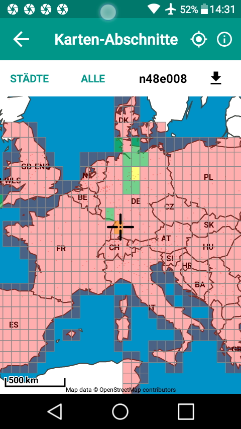 | 480 × 854 (199 KB) | Almica (talk | contribs) | ||
| 11:19, 23 March 2017 | 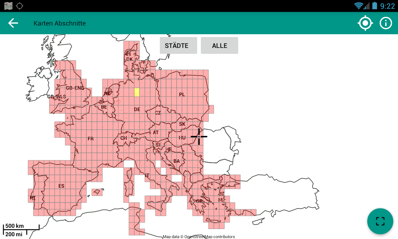 | 1,280 × 768 (110 KB) | Almica (talk | contribs) | ||
| 16:05, 9 January 2017 | 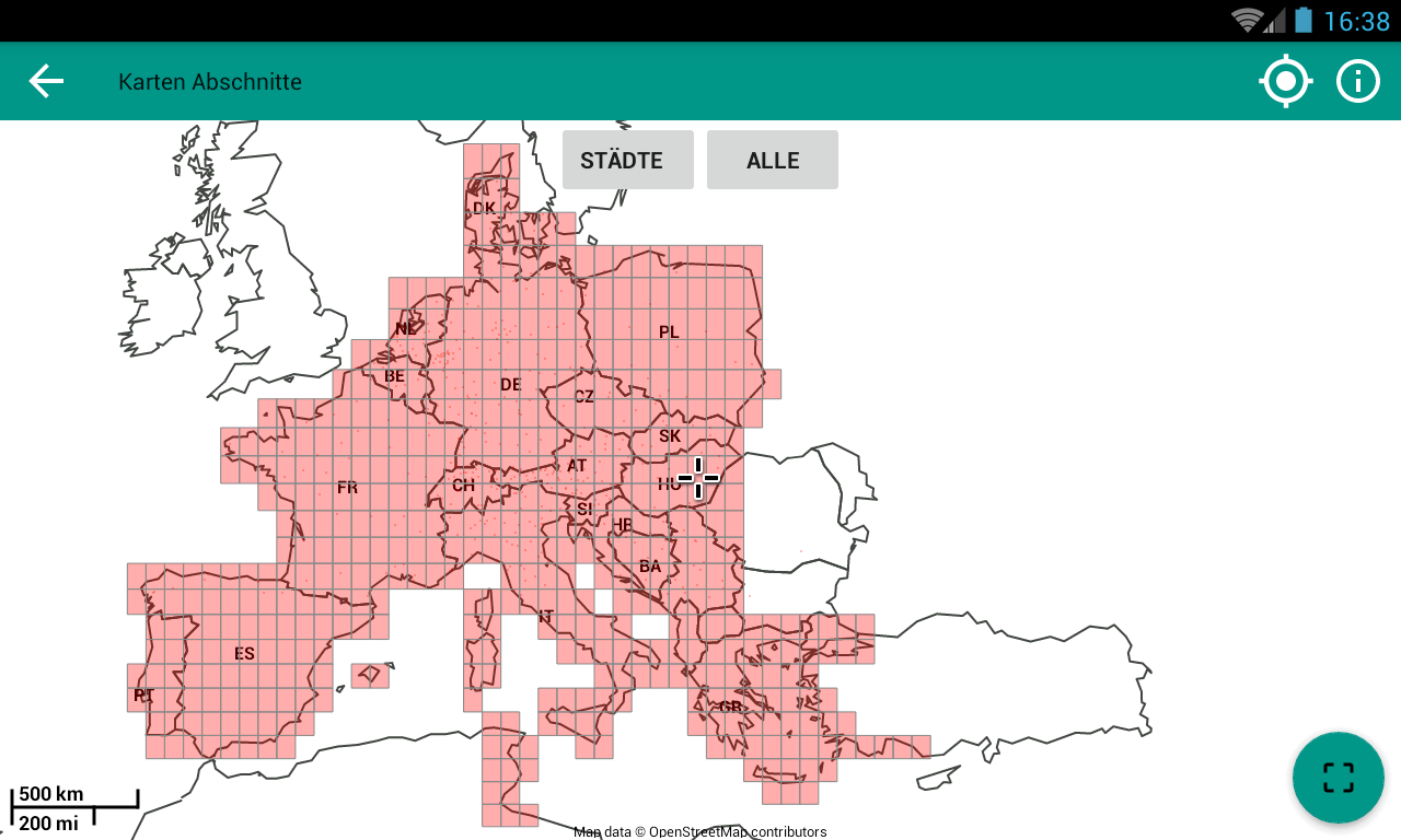 | 1,280 × 768 (107 KB) | Almica (talk | contribs) | ||
| 14:45, 20 December 2016 |  | 1,280 × 768 (113 KB) | Almica (talk | contribs) | Abdeckung durch Kartenabschnitte |
You cannot overwrite this file.
File usage
There are no pages that use this file.