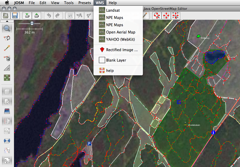
File:Area editing from Landsat imagery in JOSM.png
Jump to navigation
Jump to search

Size of this preview: 800 × 555 pixels. Other resolutions: 320 × 222 pixels | 640 × 444 pixels | 927 × 643 pixels.
Original file (927 × 643 pixels, file size: 379 KB, MIME type: image/png)
Licensing
![]()
This file is a screenshot of the software JOSM, with imagery in background. It may include old OpenStreetMap data (before September 12, 2012), in such case CC-BY-SA-2.0 also applies.
Imagery in background: Landsat imagery, released into the public domain by the copyright holder. - We acknowledge the use of imagery provided by services from the Global Imagery Browse Services (GIBS), operated by the NASA/GSFC/Earth Science Data and Information System (ESDIS, https://earthdata.nasa.gov) with funding provided by NASA/HQ.
![]()
"JOSM" (Java OpenStreetMap Editor – josm.openstreetmap.de) is free software released under the terms of the GNU General Public License as published by the Free Software Foundation; either version 2 of the license, or any later version.
![]()
Contains map data © OpenStreetMap contributors, made available under the terms of the Creative Commons Attribution-ShareAlike 2.0 (CC-BY-SA-2.0).
File history
Click on a date/time to view the file as it appeared at that time.
| Date/Time | Thumbnail | Dimensions | User | Comment | |
|---|---|---|---|---|---|
| current | 17:53, 30 December 2008 | | 927 × 643 (379 KB) | Vibrog (talk | contribs) |
You cannot overwrite this file.
File usage
The following 2 pages use this file: