File:Atlantic equatorial.png
Jump to navigation
Jump to search


Size of this preview: 603 × 599 pixels. Other resolutions: 242 × 240 pixels | 618 × 614 pixels.
Original file (618 × 614 pixels, file size: 37 KB, MIME type: image/png)
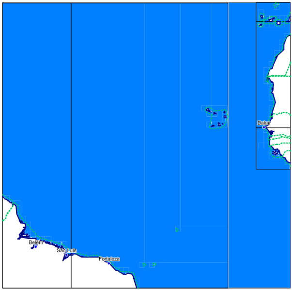
Summary
this image shows the extend of the oseam_ng_atlantic_equatorial.zip file
Licensing
![]()
This file has been released into the public domain by the copyright holder, its copyright has expired, or it is ineligible for copyright. This applies worldwide.
Please, please use more specific template such as {{PD-self}} / {{PD-creator}} / {{PD-shape}} / {{PD-USGov}} / {{PD-old}} / {{PD-RU-exempt}} ... This template is not making clear why this work is in the public domain.
Please, please use more specific template such as {{PD-self}} / {{PD-creator}} / {{PD-shape}} / {{PD-USGov}} / {{PD-old}} / {{PD-RU-exempt}} ... This template is not making clear why this work is in the public domain.
File history
Click on a date/time to view the file as it appeared at that time.
| Date/Time | Thumbnail | Dimensions | User | Comment | |
|---|---|---|---|---|---|
| current | 11:29, 18 December 2014 | | 618 × 614 (37 KB) | Zenfunk (talk | contribs) | this image shows the extend of the oseam_ng_atlantic_south.zip file |
You cannot overwrite this file.
File usage
There are no pages that use this file.