File:Avancement-adressage-alès.jpg
Jump to navigation
Jump to search


Size of this preview: 468 × 600 pixels. Other resolutions: 187 × 240 pixels | 374 × 480 pixels | 891 × 1,142 pixels.
Original file (891 × 1,142 pixels, file size: 194 KB, MIME type: image/jpeg)
Summary
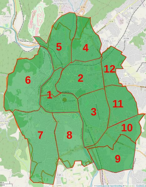
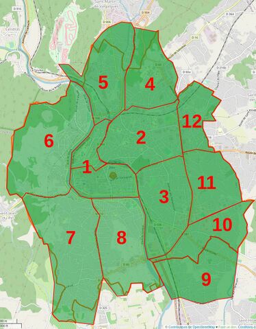
| Description | Carte de l'avancement de l'adressage des maisons d'Alès |
|---|---|
| Author | unknown |
| Source | unknown |
| Date | unknown |
Licensing
| Contains map data © OpenStreetMap contributors, made available under the terms of the Open Database License (ODbL).
The ODbL does not require any particular license for maps produced from ODbL data, produced maps may be subject also to other licences. |
File history
Click on a date/time to view the file as it appeared at that time.
| Date/Time | Thumbnail | Dimensions | User | Comment | |
|---|---|---|---|---|---|
| current | 21:10, 15 September 2021 | | 891 × 1,142 (194 KB) | LySioS (talk | contribs) | màj fin |
| 12:34, 8 September 2021 | 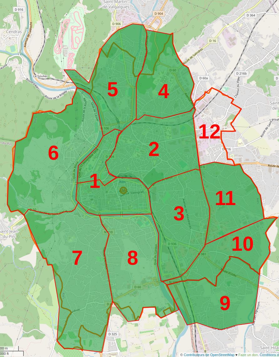 | 891 × 1,142 (197 KB) | LySioS (talk | contribs) | update | |
| 12:49, 25 August 2021 | 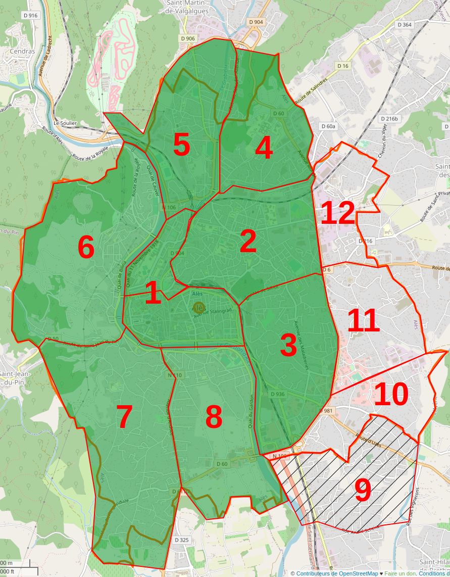 | 891 × 1,142 (212 KB) | LySioS (talk | contribs) | update | |
| 21:04, 20 April 2021 |  | 891 × 1,142 (200 KB) | LySioS (talk | contribs) | màj | |
| 18:31, 1 April 2021 | 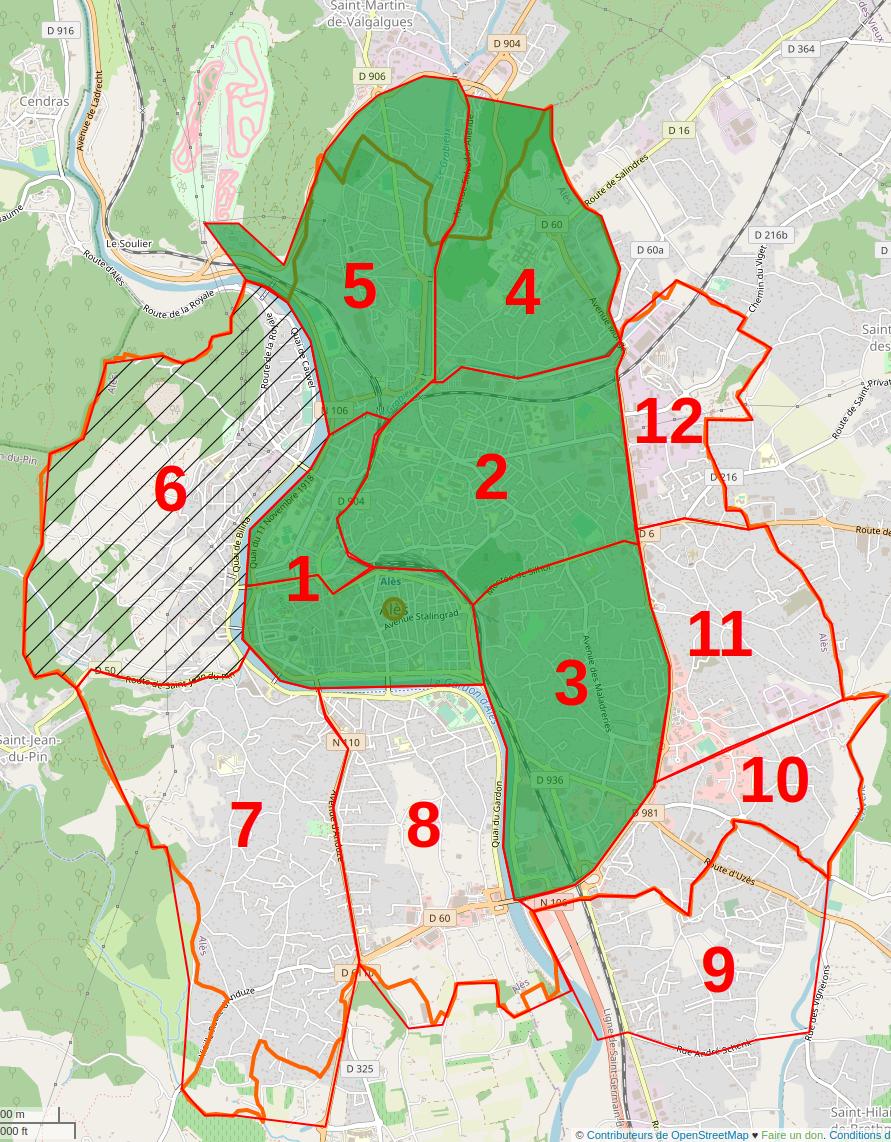 | 891 × 1,142 (204 KB) | LySioS (talk | contribs) | update | |
| 18:41, 9 March 2021 | 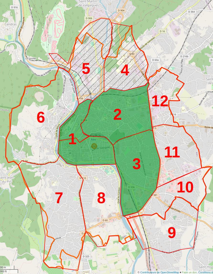 | 891 × 1,142 (209 KB) | LySioS (talk | contribs) | update | |
| 17:24, 1 March 2021 |  | 891 × 1,142 (217 KB) | LySioS (talk | contribs) | update | |
| 17:19, 1 March 2021 | 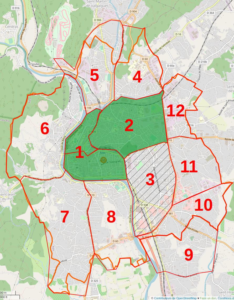 | 891 × 1,142 (212 KB) | LySioS (talk | contribs) |
You cannot overwrite this file.
File usage
There are no pages that use this file.