File:BHMap QGIS ordenar area fluxo.gif
Jump to navigation
Jump to search
Size of this preview: 800 × 422 pixels. Other resolutions: 320 × 169 pixels | 640 × 338 pixels | 1,024 × 540 pixels | 1,912 × 1,009 pixels.
Original file (1,912 × 1,009 pixels, file size: 3.58 MB, MIME type: image/gif, looped, 631 frames, 1 min 3 s)
Note: Due to technical limitations, thumbnails of high resolution GIF images such as this one will not be animated.
Licensing
![]()
This file has been released into the public domain by the copyright holder, its copyright has expired, or it is ineligible for copyright. This applies worldwide.
Please, please use more specific template such as {{PD-self}} / {{PD-creator}} / {{PD-shape}} / {{PD-USGov}} / {{PD-old}} / {{PD-RU-exempt}} ... This template is not making clear why this work is in the public domain.
Please, please use more specific template such as {{PD-self}} / {{PD-creator}} / {{PD-shape}} / {{PD-USGov}} / {{PD-old}} / {{PD-RU-exempt}} ... This template is not making clear why this work is in the public domain.
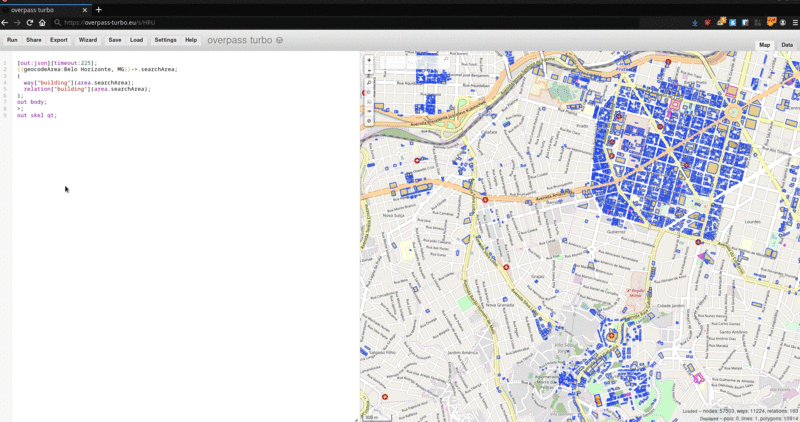
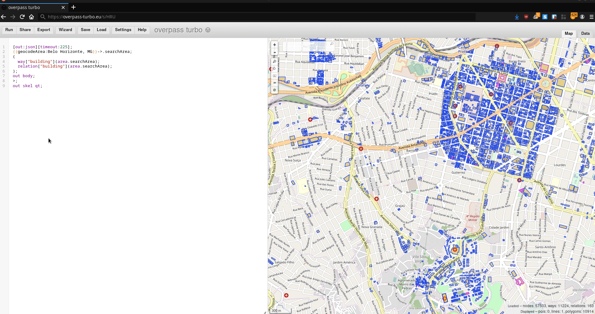
| Contains map data © OpenStreetMap contributors, made available under the terms of the Open Database License (ODbL).
The ODbL does not require any particular license for maps produced from ODbL data, produced maps may be subject also to other licences. |
File history
Click on a date/time to view the file as it appeared at that time.
| Date/Time | Thumbnail | Dimensions | User | Comment | |
|---|---|---|---|---|---|
| current | 01:57, 19 September 2019 | | 1,912 × 1,009 (3.58 MB) | Aoalmeida (talk | contribs) |
You cannot overwrite this file.
File usage
The following page uses this file: