File:Baldock.png
Jump to navigation
Jump to search

Size of this preview: 450 × 599 pixels. Other resolutions: 180 × 240 pixels | 500 × 666 pixels.
Original file (500 × 666 pixels, file size: 113 KB, MIME type: image/png)
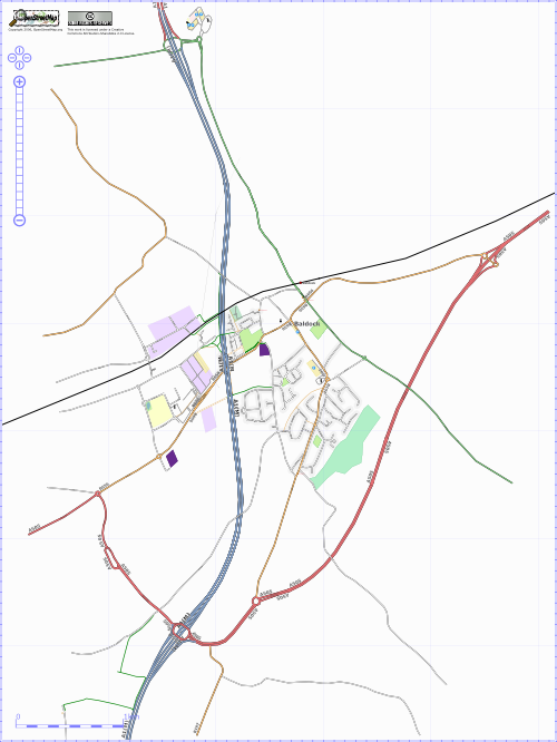
osmarender showing progress in Baldock, Herts in mid November 2006
![]()
Contains map data © OpenStreetMap contributors, made available under the terms of the Creative Commons Attribution-ShareAlike 2.0 (CC-BY-SA-2.0).
File history
Click on a date/time to view the file as it appeared at that time.
| Date/Time | Thumbnail | Dimensions | User | Comment | |
|---|---|---|---|---|---|
| current | 14:00, 17 November 2006 | | 500 × 666 (113 KB) | Batchoy (talk | contribs) | View showing the extent of the by-pass and the resulting changes to the road layout and designation |
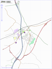
| 08:21, 10 October 2006 | 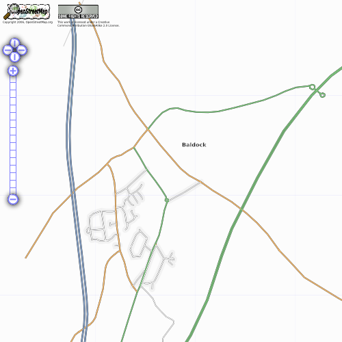 | 500 × 500 (73 KB) | Lordelph (talk | contribs) | Current progress of Baldock, Hertfordshire | |
| 21:52, 21 September 2006 | 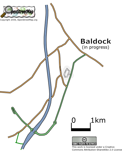 | 500 × 644 (83 KB) | Lordelph (talk | contribs) | Previous version looked fugly when the Baldock page resized it to 500px wide. | |
| 21:44, 21 September 2006 |  | 368 × 441 (52 KB) | Lordelph (talk | contribs) | osmarender showing early progress in Baldock, Herts |
You cannot overwrite this file.
File usage
There are no pages that use this file.