File:Barangay boundaries in OpenStreetMap.png
Jump to navigation
Jump to search

No higher resolution available.
Barangay_boundaries_in_OpenStreetMap.png (577 × 524 pixels, file size: 129 KB, MIME type: image/png)
Summary
Information
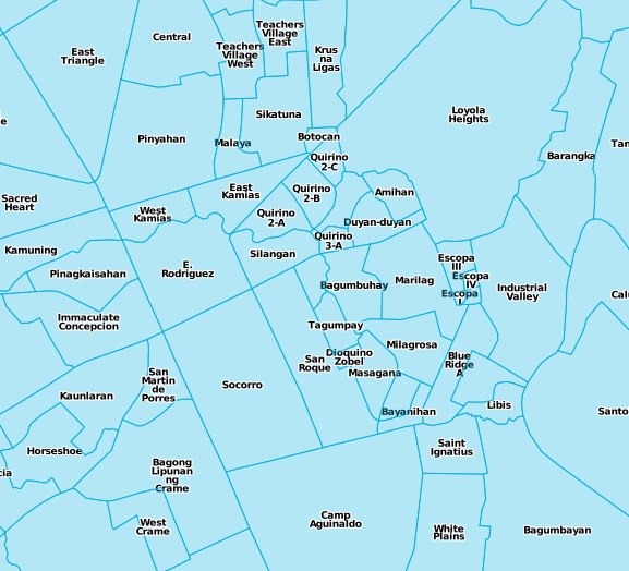
| Description | A visualization of some of the barangay boundaries of Metro Manila |
|---|---|
| Author | seav |
| Source | http://beta.letuffe.org/?zoom=14&lat=14.62512&lon=121.06418&layers=000B0FFFFFFFTFFFFFFFF |
| Date | 2011-05-29 |
| Permission | CC-BY-SA 2.0 |
Licensing
![]()
![]()
![]()
This work is licensed under the Creative Commons Attribution-ShareAlike 2.0 License.
Attribution not specified as a parameter! THIS LICENSE ALWAYS REQUIRES ATTRIBUTION! Use {{CC-BY-SA-2.0|Attribution, typically name of author}} See Template:CC-BY-SA-2.0 for full description how this template should be used.
Note, there is
There is also
Attribution not specified as a parameter! THIS LICENSE ALWAYS REQUIRES ATTRIBUTION! Use {{CC-BY-SA-2.0|Attribution, typically name of author}} See Template:CC-BY-SA-2.0 for full description how this template should be used.
Note, there is
{{CC-BY-SA-2.0 OpenStreetMap}} for files based on old OSM map data, before the license change made on 2012-09-12.There is also
{{OSM Carto screenshot||old_license}} for files based on old OSM map data, before the license change made on 2012-09-12, created using OSM Carto map style.
File history
Click on a date/time to view the file as it appeared at that time.
| Date/Time | Thumbnail | Dimensions | User | Comment | |
|---|---|---|---|---|---|
| current | 07:32, 29 May 2011 | | 577 × 524 (129 KB) | Seav (talk | contribs) | ==Information== {{Information |Description = A visualization of some of the barangay boundaries of Metro Manila |Source = http://beta.letuffe.org/?zoom=14&lat=14.62512&lon=121.06418&layers=000B0FFFFFFFTFFFFFFFF |Author = [[User:Seav |
You cannot overwrite this file.
File usage
The following page uses this file: