File:Bassin infiltration.jpeg
Jump to navigation
Jump to search

Size of this preview: 450 × 600 pixels. Other resolutions: 180 × 240 pixels | 360 × 480 pixels | 576 × 768 pixels | 768 × 1,024 pixels | 1,920 × 2,560 pixels.
Original file (1,920 × 2,560 pixels, file size: 2.04 MB, MIME type: image/jpeg)
Summary
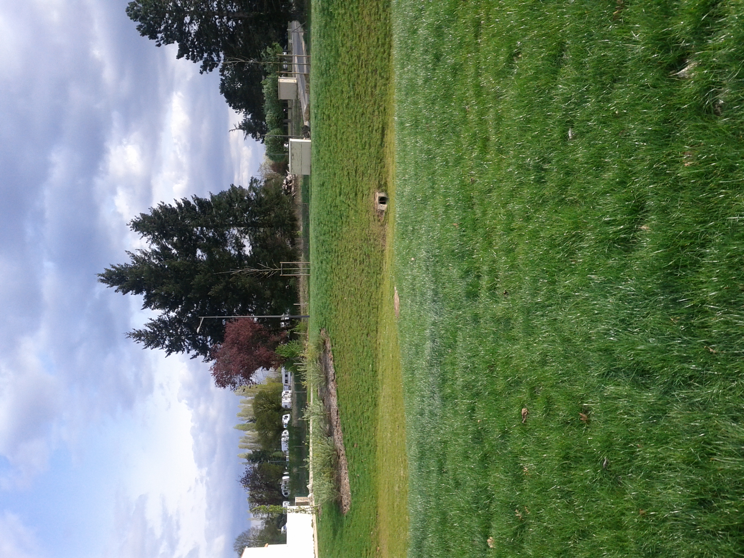
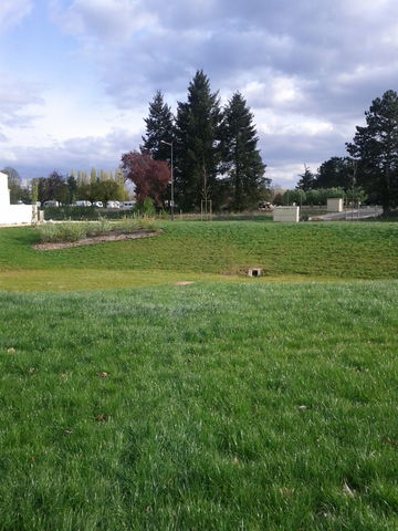
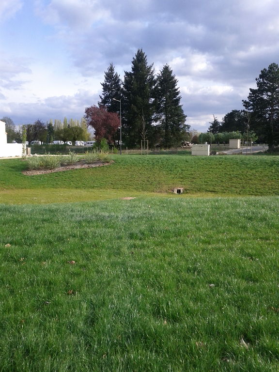
Bassin enherbé, servant à retenir les eaux pluviales venant de la zone résidentielle. À sec la plus part du temps, sauf lors de grosse pluie.
Basin in grass, for keep water from the residential zone. Often dry unless when the raining is big.
Licensing
- This media file was uploaded by author of the work and its copyright holder.
![]()
![]()
![]()
This work is licensed under the Creative Commons Attribution-ShareAlike 3.0 License.
Attribution: Agaric
Attribution: Agaric
File history
Click on a date/time to view the file as it appeared at that time.
| Date/Time | Thumbnail | Dimensions | User | Comment | |
|---|---|---|---|---|---|
| current | 07:21, 16 September 2013 | | 1,920 × 2,560 (2.04 MB) | Agaric (talk | contribs) | Bassin en herbé, servant à retenir les eaux pluviales venant de la zone résidentielle. À sec la plus part du temps, sauf lors de grosse pluie. Basin in grass, for keep water from the residential zone. Often dry unless when the raining is big. |
You cannot overwrite this file.
File usage
The following 22 pages use this file:
- Cs:Key:basin
- Key:basin
- Pl:Key:basin
- Tag:basin=infiltration
- Wiki:Files used by data items/1
- Template:Cs:Map Features:basin
- Template:DE:Map Features:basin
- Template:FR:Map Features:basin
- Template:IT:Map Features:basin
- Template:JA:Map Features:basin
- Template:Map Features:basin
- Template:Pl:Map Features:basin
- Template:RU:Map Features:basin
- DE:Key:basin
- DE:Tag:basin=infiltration
- FR:Key:basin
- FR:Tag:basin=infiltration
- ES:Tag:basin=infiltration
- IT:Key:basin
- RU:Key:basin
- RU:Tag:basin=infiltration
- JA:Key:basin