File:Bing and osm.JPG
Jump to navigation
Jump to search

Size of this preview: 800 × 415 pixels. Other resolutions: 320 × 166 pixels | 640 × 332 pixels | 1,326 × 688 pixels.
Original file (1,326 × 688 pixels, file size: 153 KB, MIME type: image/jpeg)
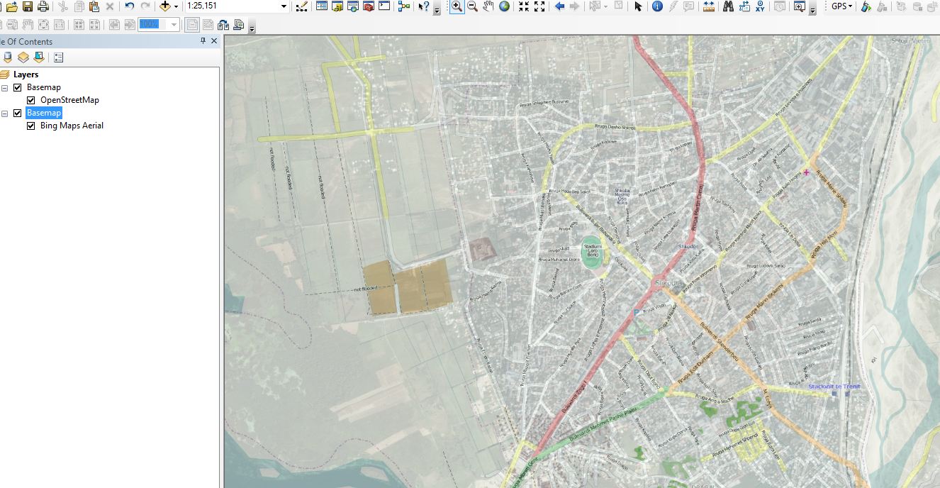
ArcGIS showing OSM mapnik over the BigMaps aerial imagery as a transparent overlay
Only minor![]()
portions
Some minor portions of this image feature Bing aerial imagery.
Software screenshots and other illustrations of OpenStreetMap editing processes will often include some Bing imagery.
Bing imagery is not open licensed, but is generously made available to the OpenStreetMap project for deriving open licensed map data.
Such images in the OpenStreetMap wiki may be open licensed only where use of Bing is minor/incidental.
Bing imagery is not open licensed, but is generously made available to the OpenStreetMap project for deriving open licensed map data.
Such images in the OpenStreetMap wiki may be open licensed only where use of Bing is minor/incidental.
![]()
This media file does not have sufficient information on its copyright status. If you have created this file yourself, or the file is available under some open licence allowing its use on OSM Wiki or the file is in the public domain, you can edit the file description page to license it under one of the allowed licences. If you did not create it and it is not in the public domain, you must ask the copyright holder for permission to release it under one of the allowed licenses. Wiki:Media file license chart may be helpful to find a suitable licence.
Files without licences marked with this template are listed in Category:Media without a license or one of its subcategories. If the file is without a known open licence: ask its uploader to clarify situation or find a replacement and mark this file with {{Superseded by Commons}} and replace its uses.
Files without licences marked with this template are listed in Category:Media without a license or one of its subcategories. If the file is without a known open licence: ask its uploader to clarify situation or find a replacement and mark this file with {{Superseded by Commons}} and replace its uses.
If uploader was notified this month: use {{No licence|subcategory=uploader notified 2024, April}} - to put media into Category:Media without a license - uploader notified 2024, April and mark image as one where uploader was notified.
File history
Click on a date/time to view the file as it appeared at that time.
| Date/Time | Thumbnail | Dimensions | User | Comment | |
|---|---|---|---|---|---|
| current | 02:27, 11 August 2010 | | 1,326 × 688 (153 KB) | Acrosscanadatrails (talk | contribs) | ArcGIS showing OSM mapnik over the BigMaps aerial imagery as a transparent overlay |
You cannot overwrite this file.
File usage
The following 2 pages use this file: